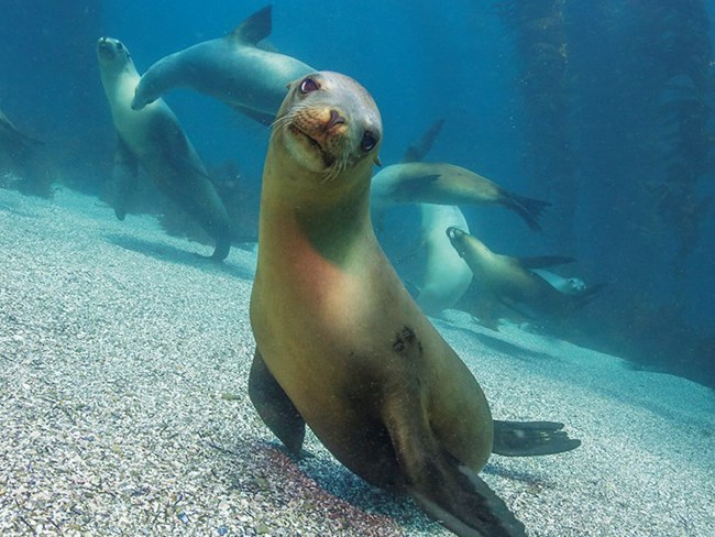
NPS / Brett Seymour In 2003, the State of California Fish and Game Commission established 13 Marine Protected Areas (MPAs) within the state waters of Channel Islands National Park. In 2006 and 2007, the boundaries of these MPAs were extended into federal waters of the Channel Islands National Marine Sanctuary. Approximately 21% of the waters within the park and sanctuary are now protected by these MPAs. What are MPAs? While most of the waters within the park and sanctuary are open to state and federally regulated commercial and/or recreational activities like fishing, the MPAs function more like a marine refuge, similar to our terrestrial national parks. They are open for public enjoyment of non-consumptive activities like boating, surfing or SCUBA diving, but fishing and other activities that involve the “take” of resources are limited or entirely prohibited. No-take marine reserves are the primary type of MPA in Channel Islands National Park prohibiting all take of living, geological, or cultural resources. Marine conservation areas are similar but allow exceptions for specific commercial and/or recreational fisheries. MPA rules and regulations are available from the California Department of Fish and Wildlife. 
The MPAs were created to:

Jeffrey Bozanic Monitoring in the MPAs In 2005, a monitoring plan was designed for the network of MPAs at the Channel Islands to evaluate their effectiveness and to detect biological, economic, and behavioral changes in and around their boundaries. Some of this monitoring is conducted by Channel Islands National Park’s Kelp Forest Monitoring Program (KFMP) which added new survey sites in and around four of the MPAs. Monitoring is also conducted by the Partnership for Interdisciplinary Studies of Coastal Oceans (PISCO) at the University of California, Santa Barbara. |
Last updated: February 12, 2024
