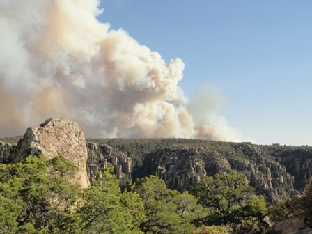
NPS Photo- D. Shultz On May 8, 2011, the Horseshoe Two Fire started on the east side of the Chiricahua Mountains near the community of Portal. The fire continued to burn steadily, heading to the northwest, and on June 8, the fire reached Chiricahua National Monument, burning into the southeast corner of the park. In total, the Horseshoe Two Fire burned a total of 223,000 acres within the Chiricahua Mountains. No structures were lost at Chiricahua National Monument; however 100% of the acreage did burn to some extent. While the fire burned intensely in some areas of the park, patches of green and natural sources of water are still to be found.
A burned landscape presents a number of safety hazards that either did not exist prior to the fire or are increased by the effects of the fire. In some cases these hazardous conditions may continue for several years after a fire. Be very aware of your surroundings, follow warning signs and directions from park staff and pay particular attention to these potential safety hazards. |
Last updated: May 6, 2024
