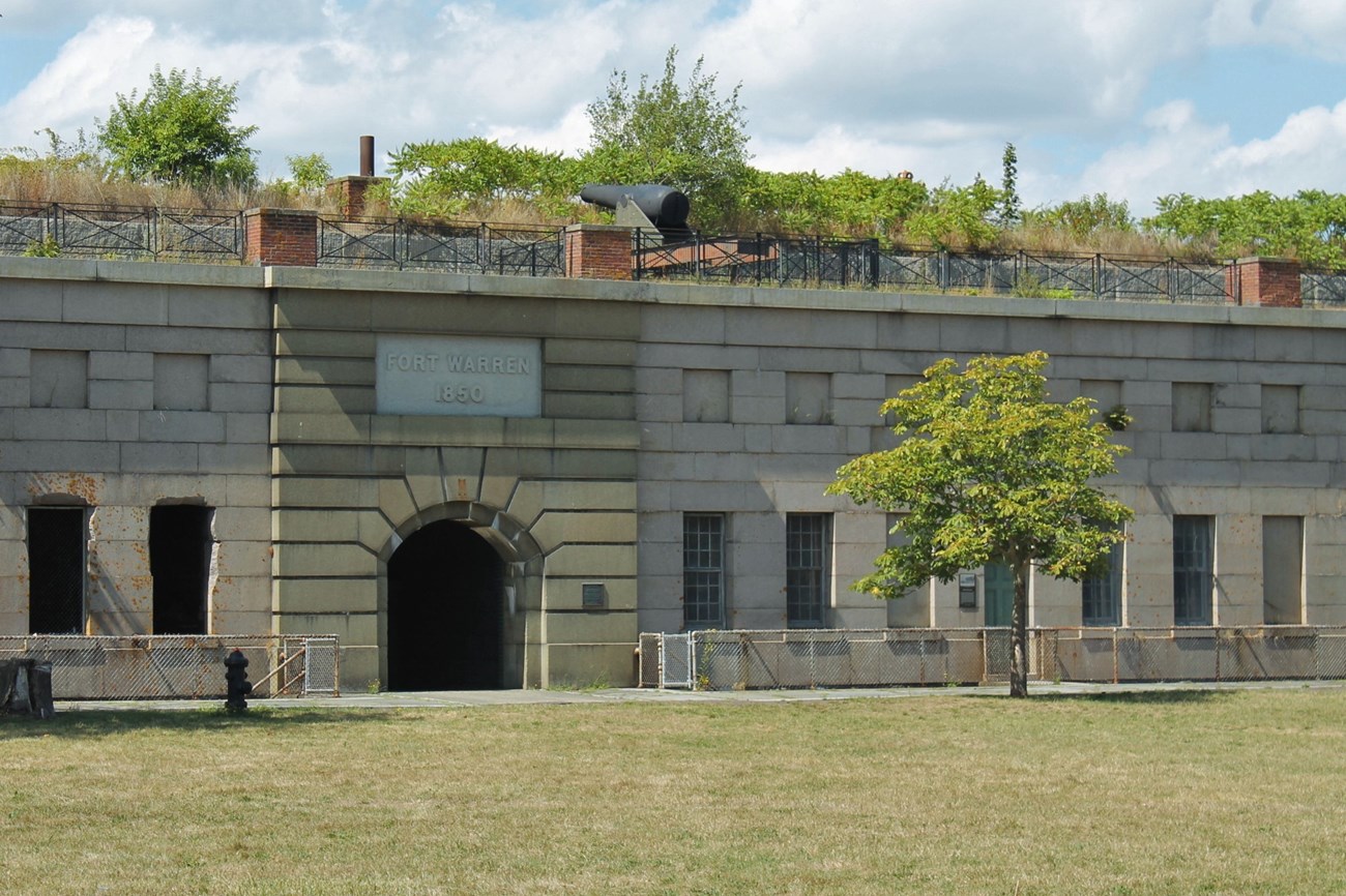
NPS Photo/ A. Moorehead Explore the Civil War-era Fort Warren, enjoy a picnic lunch, or relax under a shady tree. Dominated by Fort Warren, a National Historic Landmark, Georges Island brings the military history of the Harbor to life. The strategic location of the island made it an essential military post defending the harbor since the American Revolution, and it remains the transportation center of the Boston Harbor Islands. General InformationThis island of Boston Harbor Islands National and State Park is managed by the Massachusetts Department of Conservation and Recreation (DCR). For more information on public access to the island, please visit our partnership website page for Georges Island. Visitor Facilities & Services
Visitor Cautions: The fort contains many steep drop-offs, most of which are protected with safety rails and fencing, and some dark corridors. Children should be supervised when visiting the fort. Short HistoryAt the time of Euro-American colonization, Georges Island was comprised of two drumlins, rising out of the bay like other nearby islands. The island sustained agricultural use for two hundred years until 1825 when the US Government acquired the island for coastal defense. Over the next twenty years the island was dramatically altered and one of the country’s finest forts was built. Dedicated in 1847, the fort’s defensive design was virtually obsolete upon completion. However the fort served as a training ground, patrol point, and Civil War prison that gained a favorable reputation for the humane treatment of its Confederate prisoners. After one hundred years of military use the fort was decommissioned in 1947 and acquired by the Massachusetts Department of Conservation and Recreation (DCR) for historic preservation and recreation in 1958. Fort Warren is a National Historic Landmark, listed in the National Register of Historic Places. Natural History OverviewVegetationThe island has an intensive grounds maintenance program. Most of the island is mowed as turf. Steep slopes not mowed are colonized by tall grasses, wildflowers, and sumac. Horsechestnut, elm, and maple trees inside the fort are approximately 100 years old. Additional horsechestnut trees were planted by the DCR and are easily discernable. The island contains many apple trees, some planted and some self-sown. Pine and maple trees planted by the DCR in picnic areas offer wind and sun protection. Planters filled with annuals and perennials, installed by the DCR, are raised so not to disturb archeological resources. WildlifePlease see Animals page for more information. GeologyPrior to 1833 the island consisted of two drumlins with elevations of 48 and 64 feet, similar to the topography of the east head of Peddocks Island. The fort was tucked in between the two drumlins and the island substantially regraded. The current highpoint of 50 feet exists at the top of the fort’s ramparts. Water FeaturesHistorically the island relied on cisterns for fresh water. The cistern is still visible on the parade ground near Bastion A. Fresh water is now supplied by a pipe from the mainland. Views and VistasLocated in the center of the harbor, the island offers excellent views to the surrounding islands and Boston Light, particularly from the ramparts and the siting towers: downtown Boston, Hull, Islands: The Brewsters, Deer, Gallops, Long, Lovells, Peddocks, and Rainsford Islands. Structures
|
Last updated: November 30, 2023
