
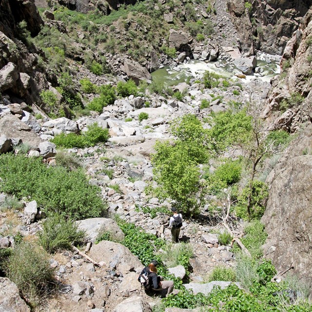
NPS/Ethan Crump Access to the inner canyon and wilderness routes is limited to the Warner and Gunnison routes (by reserved permit), Red Rock Canyon (by reserved permit), and other routes not burned in the 2025 South Rim Fire. The Tomichi Route remains closed until further notice. All North Rim routes remain open. Do not enter closed or burned areas until further notice.HAZARDOUS CONDITIONS: Due to effects from the 2025 South Rim Fire, hikers on the Gunnison Route will experience hazardous burned-area conditions including steep, unstable slopes; loose rocks; burned vegetation; and potentially hazardous, unstable trees.
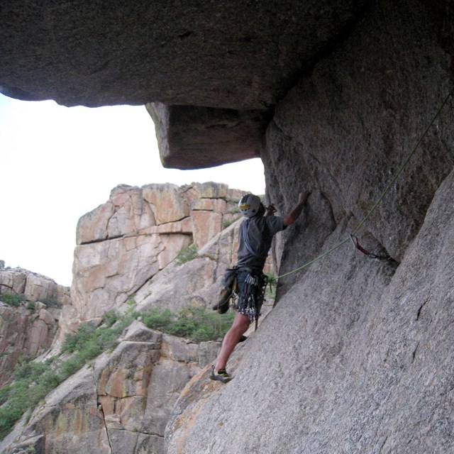
Be PreparedInner canyon activities are located in remote portions of the Black Canyon of the Gunnison Wilderness. Any rescue operation within the park is difficult and requires extended periods of time. Park visitors should be aware of the challenging nature of the terrain and carry the equipment necessary to endure an unexpected night in the wilderness. Each activity will require different essentials, but a good list to keep in mind in any wilderness area is:
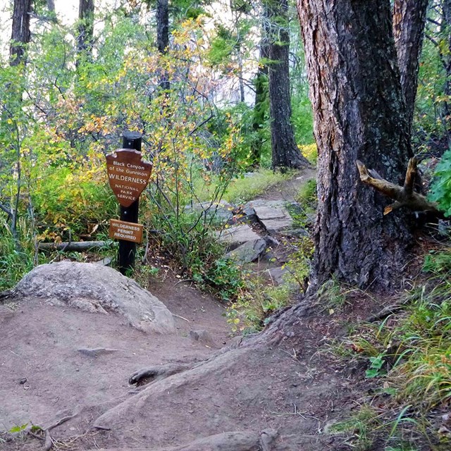
How to Get a Wilderness Use PermitPermits are required for all inner canyon wilderness use - both day and overnight trips. How to obtain a permit varies by season and location. See information below. North Rim Permits
South Rim Permits
Peak season reservations/permits (May 1–October 31)
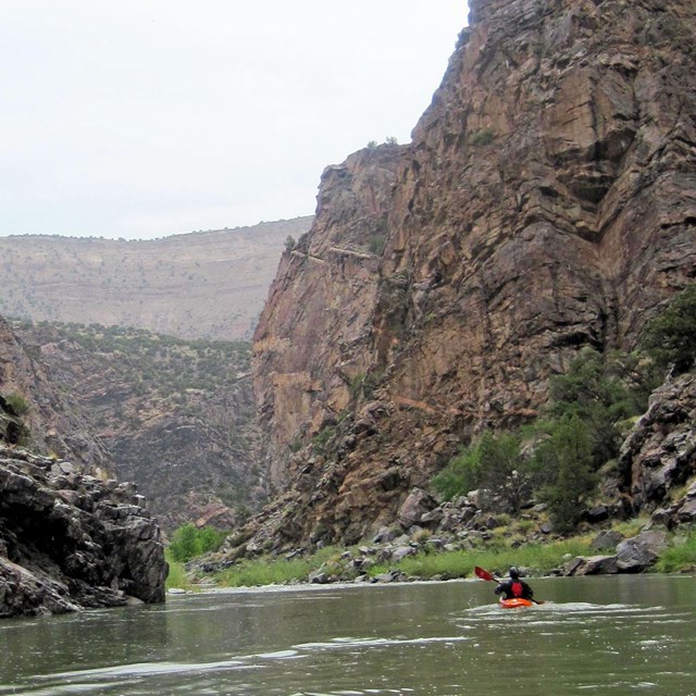
Off-Season Permit Process (November 1 - April 30) Climbers and KayakersClimbers and kayakers must obtain their permit on the day of their adventure. There are self-registration kiosks with instructions when the visitor center is closed. Be sure to thoroughly complete the permit with accurate and legible information. Red Rock CanyonPeak-season permits (May through October) are available only through Recreation.gov. Off-season permits (November - April) are available at the South Rim Visitor Center without a reservation. Wilderness RegulationsSafety and preparation are key when entering the inner canyon. Route Information
Other Access to the Inner Canyon

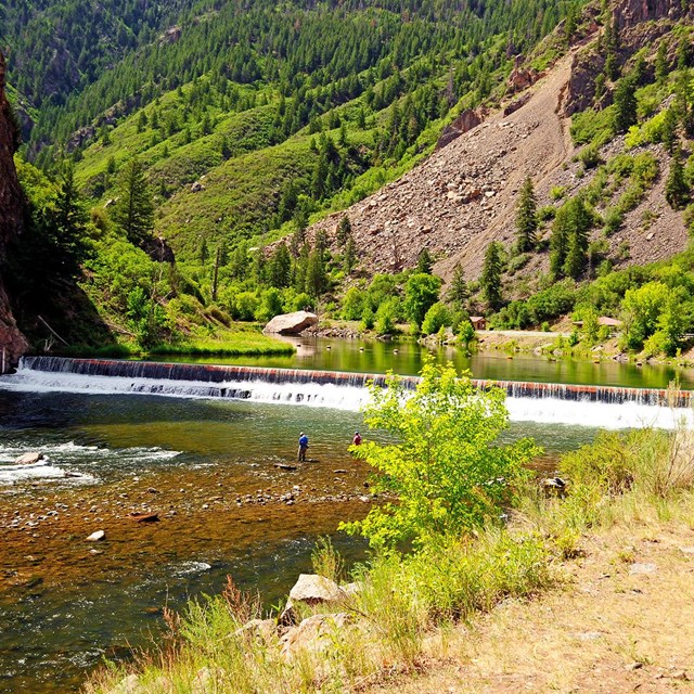
Wilderness Route MapBasic map showing general locations of the wilderness routes. This is not a substitute for route knowledge or bringing a map/compass and GPS device.Not interested in a route?Curecanti National Recreation Area (east of Black Canyon of the Gunnison National Park) has maintained trails from the upper Black Canyon rim to the reservoir level. These trails are a great, less challenging option to the wilderness routes and do not require a permit. |
Last updated: April 16, 2026