Waterway Corridor Units

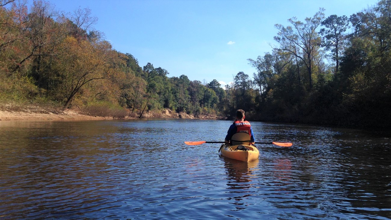
man in kayak on the river in the fall
Kayak on Village Creek

NPS Photo

Opportunities
  • Paddling
  • Boating
  • Fishing
  • Birdwatching
  • Hiking
  • Day-use areas
  • Backcountry camping
 
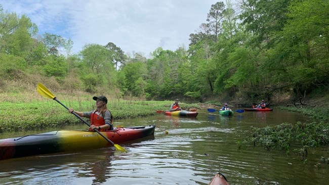
park ranger and people paddling kayaks on a creek
Ranger-led paddle trip on an oxbow lake next to Village Creek

NPS Photo / Cheyenne Millard

Overview

Waterways are an essential part of the Big Thicket. From narrow streams to wide rivers, it is nearly impossible to wander through the Thicket and not encounter a waterway. The preserve protects many miles of navigable rivers and creeks for you to explore. Travel by kayak, canoe, or boat to see these remote parts of the Big Thicket.

Make it an overnight paddle trip! Backcountry camping is allowed on sandbars along waterways in all units listed below except the Little Pine Island – Pine Island Bayou Corridor and Menard Creek Corridor Units.

Fishing is allowed in all of the preserve’s waterways. Hunting is not allowed in any of the water corridor units, but it is allowed in certain land units.

For a Safe Trip

Here are some things to keep in mind as you explore:

  • Waterway corridors are often narrow and unpredictable. Check the weather and water levels before you depart.
  • Be aware that private property exists in some spots along the waterways, marked with purple paint. Public land is marked with yellow paint and/or white “US Boundary” signs.
  • Always wear a life jacket when paddling or boating.
 

List of Waterway Corridor Units

Village Creek Corridor Unit

42 miles | Hardin County
This unit follows the course of Village Creek from the Turkey Creek Unit in the north to Lumberton in the south. There are several access points along the creek, making it an excellent option for paddlers on a day trip. From north to south, find creek access at FM 418, TX 327, Baby Galvez Road, and US 96. Farther south, Village Creek State Park in Lumberton provides boat access to the creek as well.


Upper Neches River Corridor Unit

34 miles | Jasper and Tyler Counties
This long stretch of the Neches River begins just south of B.A. Steinhagen Lake at Town Bluff Dam and flows south to the Neches Bottom & Jack Gore Baygall Unit.

  • McQueens Landing provides river access and a boat launch. It’s located on County Road 150 south of Steinhagen Lake.

Lower Neches River Corridor Unit

22 miles | Hardin and Jasper Counties
The lower section of the Neches River corridor is located between the Neches Bottom & Jack Gore Baygall Unit and the Beaumont Unit. Use these boat launches for river access:


Little Pine Island – Pine Island Bayou Corridor Unit

29 miles | Hardin and Jefferson Counties
This unit follows the course of Little Pine Island Bayou and its merger with Pine Island Bayou just north of Bevil Oaks. Backcountry camping is NOT allowed in this unit.


Menard Creek Corridor Unit

32 miles | Hardin, Liberty, and Polk Counties
This unit follows the course of Menard Creek from Segno to north of Romayor, where it flows into the Trinity River. Backcountry camping is NOT allowed in this unit.

  • Holly Grove Day-Use Area is located off of FM 2798 halfway between Segno and Votaw.
  • Birdwatchers Trail (1 mile roundtrip)

Big Sandy Creek Corridor Unit

34 miles | Hardin, Polk, and Tyler Counties
This unit parallels FM 943 and follows the course of Big Sandy Creek before it merges with Kimball Creek to become Village Creek. There are no designated creek access points.

 
wide river surrounded by forest
The Neches River at McQueens Landing

NPS Photo


Ranger Recommendations

Loading results...

    Last updated: December 31, 2024

    Park footer

    Contact Info

    Mailing Address:

    6044 FM 420
    Kountze, TX 77625

    Phone:

    409-951-6700

    Contact Us