Last updated: December 31, 2024
Place
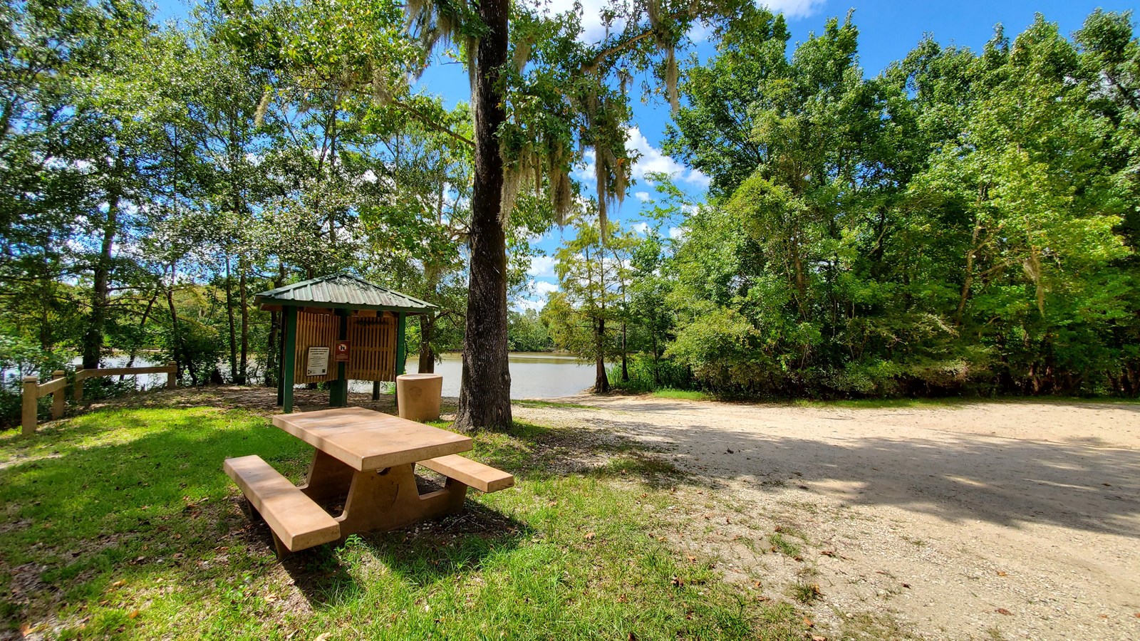
Confluence Boat Ramp

NPS Photo / Scott Sharaga
Benches/Seating, Boat Ramp, Canoe/Kayak/Small Boat Launch, Parking - Auto, Parking - Boat Trailer, Pets Allowed, Picnic Table, Trash/Litter Receptacles
Named for the confluence of the Neches River and Pine Island Bayou, this paved boat ramp provides access to the waterways of the Beaumont Unit.
Getting Here
GPS Coordinates:
30.161472, -94.113581
It's located on the east bank of the Neches River, across from the Saltwater Barrier. From I-10 in Vidor, head north on FM 105 for 4 miles, then turn left on FM 1131. After 3.6 miles on FM 1131, veer left onto Four Oaks Ranch Road; after about 3.5 miles, the boat ramp will be on your right.
More Information
- Located in the Beaumont Unit of Big Thicket National Preserve
- No restrooms
