Last updated: January 5, 2024
Article
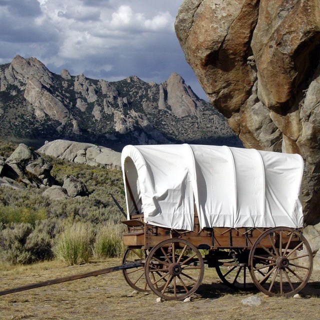
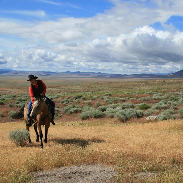
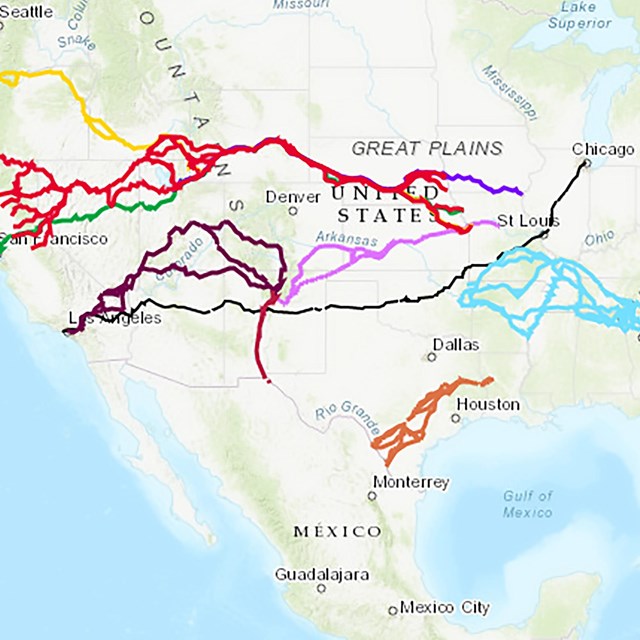
Mormon Pioneer, California, and Pony Express Trails: Echo Canyon Itinerary
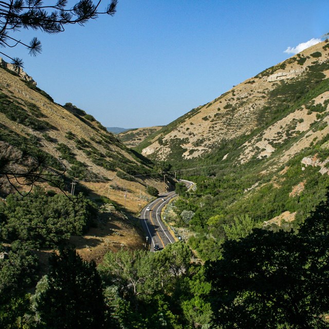
Follow paved roads along the combined route of the Hastings Cutoff of the California Trail, the Mormon Trail, and the Pony Express Trail. The combined corridor of the old trail and the modern highway heads into scenic Echo Canyon, where you can take a drive back in time. Explore historic sites, enjoy beautiful views, and learn more about this segment of history.
- Sites: California National Historic Trail, Mormon Pioneer National Historic Trail, Pony Express National Historic Trail
Echo Canyon is a natural conduit through the Wasatch Mountains, used for thousands of years by wildlife and native people migrating between the Rockies and the Great Basin. Once discovered by mountain men in the early 1800s, the 24-mile passage eventually became a thoroughfare for pack trains, commercial and emigrant wagons, Forty-niner brigades, military columns, handcart processions, the Pony Express, the Overland Stage, and the transcontinental telegraph.
- Sites: California National Historic Trail, Mormon Pioneer National Historic Trail, Pony Express National Historic Trail
Echo Canyon Road evolved from an Indian trail into a wagon road, an early automobile highway (the Old Lincoln Highway), and a federal highway (U.S.-30). Today it is a narrow, winding frontage road. Proceed slowly and be prepared to stop along the road shoulder to view the historical features described in the entries below. Many of these historic features are on private land; please observe them from the public right-of-way.
- Sites: California National Historic Trail, Mormon Pioneer National Historic Trail, Pony Express National Historic Trail
The Hanging Rock Pony Express Station (Echo Canyon), also called Halfway Station, was located near a spring about halfway down the canyon. Nothing remains of the relay station but a pony express marker post standing in a trowel-like wagon swale marks it’s approximate location. The "hanging rock" itself a small natural bridge is just around the curve to the south. The area was an immigrant campground.
- Sites: California National Historic Trail, Mormon Pioneer National Historic Trail, Pony Express National Historic Trail
Mormon militiamen, fearing an attack on Salt Lake City by the U.S. Army, built the low rubble walls above the emigrant road in 1857. Before modern highways were built, this segment of Echo Canyon was narrow, forcing wagon traffic to travel single-file. For the Mormon militia, this seemed a strategic location to stop or delay approaching federal troops.
- Sites: California National Historic Trail, Mormon Pioneer National Historic Trail, Pony Express National Historic Trail
This site is named for a fatal incident that occurred when a Mormon militiaman, during horseplay, shot and killed a fellow militiaman who was standing on the rocky crag. The victim was the only Mormon to die in the 1857 troubles between Utah Territory and the federal government. (The only U.S. Army death, which occurred in Wyoming, resulted from a heart attack.)
- Sites: California National Historic Trail, Mormon Pioneer National Historic Trail, Pony Express National Historic Trail
The Steamboat Rocks (Echo Canyon), a series of geological formations that protrude into the canyon like a row of great ships at dock, were another emigrant landmark. They were called by other names, as well, including The Great Eastern and Noah’s Ark. Southwest of Steamboat Rocks is a meadow where Brigham Young’s 1847 company and later emigrants camped.
- Sites: California National Historic Trail, Mormon Pioneer National Historic Trail, Pony Express National Historic Trail
A second Cliff-face Billboard is painted on the rock wall at the base of the Steamboat Rocks. One of the ads promotes Salt Lake House, a stagecoach stop and comfortable hotel on downtown Salt Lake City’s Main Street. This historical site is located in Echo Canyon, Utah.
- Sites: California National Historic Trail, Mormon Pioneer National Historic Trail, Pony Express National Historic Trail
The Weber Station (Echo, UT) began as a settler’s isolated log cabin and blacksmith shop in 1854 and later served as a stage stop and Pony Express home station. A granite memorial commemorating the station (nothing remains of the building itself) is at a turnout on the right at odometer mile 11.3. The site is also marked with Summit County’s brown tour sign No. 17 and with a silver-colored Pony Express marker post.
Looking for more ways to explore the trails? Look for trip planning information and itineraries through the NPS mobile app or the trail websites.