
NPS/S. Spatz Each year more than 13,000 people hike along the Chilkoot Trail. Despite being one trail, there are lots of day hike options to choose from. If you're planning to camp overnight on the Chilkoot Trail, make sure to stop by the Trail Center in Skagway to pick up a trail permit. For information about backpacking or hiking the entire trail, visit our hike planning page. 
NPS Saintly HillRound trip: 2 mi/ 3.2 kmWhy go? A great introduction to the Chilkoot Trail Description: Saintly Hill is a fitting start to a trail dubbed “the meanest 33 miles in history.” Hikers navigate steep, varied terrain to climb 500 ft (150 m) in the first half mile. The second half mile drops 400 ft (122 m) back to the bank of the Taiya River. 
NPS/K. Pontius Beaver PondsRound trip: 6 mi/ 9.7 kmWhy go? Lush ecosystem, photo opportunities Description: After Saintly Hill, the trail meanders along the east side of the Taiya River. A rich, vibrant ecosystem greets hikers as they reach the Beaver Ponds. Raised boardwalks make traversing the ponds easy. 
NPS/C. Von Halle Finnegan's PointRound trip: 10 mi/ 16 kmWhy go? Classic picnic spot, glacier views Description: A slight climb through coastal rainforest leads hikers to Finnegan’s Point. Boasting views of the Irene Glacier and the Taiya River this is a good place to rest whether you’re a day hiker or backpacker. Learn more: Finnegan's Point is the first campground on the Chilkoot Trail. The history of Finnegan's Point is also closely linked to the gold rush. 
NPS/R. Harrison Canyon City Loop TrailRound trip from trailhead: 16.75 mi/ 26.8 kmRound trip from Canyon City: 1.35 mi/2.17 km Loop trail only: 0.75 mi/ 1.2 km Why go? Townsite ruins, river panorama Description: Crossing the suspension bridge into Canyon City transports you through space and time. This loop trail explores what was once a bustling hub of transportation. Today, hikers can see many artifacts as well as a panoramic view of the Nourse River. Learn more: The Canyon City campground is the second campground on the Chilkoot Trail and located a half mile from the loop trail. During the gold rush, historic Canyon City was a busy stop near the mouth of the Taiya River Canyon. One prominent artifact on the loop trail is the Dyea-Klondike Transporation Company's boiler. Caution: This is a great side trip for Canyon City campers, but a significant distance from the main trailhead. Round trip day hikes from the trailhead should only be attempted by experienced and prepared hikers. 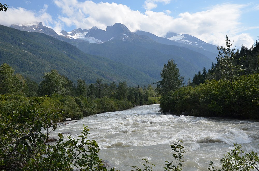
NPS/S. Spatz |
Last updated: November 20, 2018