National Park Service, Klondike Gold Rush National Historical Park, Candy Waugaman Collection, KLGO Library SC-136-8953 
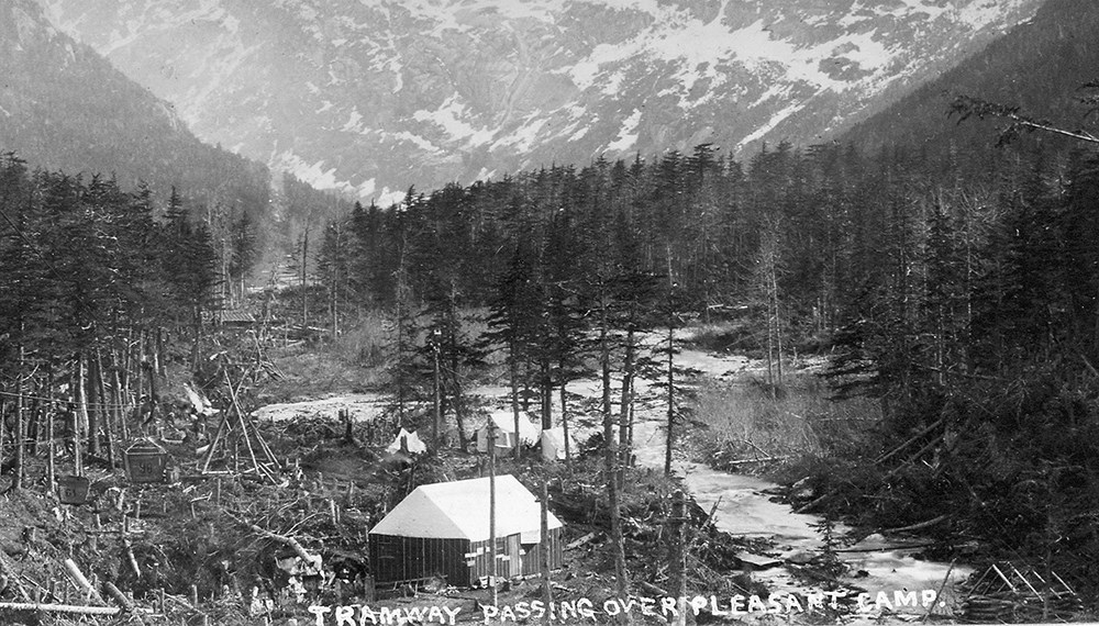
Alaska State Library, Fred E. Hovey Photograph Collection, ASL-P352-027. Pre-Klondike Gold RushPleasant Camp, also known as Camp Pleasant or Pleasant Valley, was probably used for many years before the Klondike Gold Rush. The first known camping party was that of J. Bernard (Ben) Moore. Moore stopped here on his way north in March 1887. The site was later improved before the spring of 1896. Sam Herron was the manager of Dyea's Healy and Wilson Trading Post. He also managed a packing operation over the Chilkoot. To increase business, he upgraded the trail from Dyea to Sheep Camp. One of his improvements may have been a bridge across the river here.Among the prospectors who came north before the gold rush, few stopped at the site, but many knew its name. It was known as a pleasant, comfortable place to camp after the rigors of the Taiya River canyon below. The site was recommended as "an excellent stopping place, with good water and plenty of wood." 
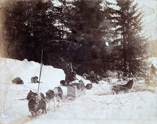
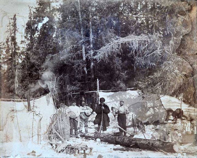
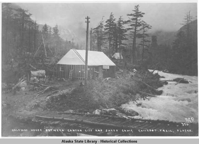
Alaska State Library, Fred E. Hovey Photograph Collection, ASL-P352-026. Gold Rush Tent CampUse of the area increased when the gold rush began. A central point of interest at the site was the bridge crossing. By September 1897, Herron's original bridge had washed away. In its place stampeder Robert Kirk described a toll bridge built by "three enterprising men." Toll rates for commercial packers were one dollar per horse. Individual stampeders paid fifty cents per horse. Scarcely ten days later, however, the bridge washed away again. The toll collector's residence was the only known wooden building dating from 1897. We can only guess at the number of stampeders who pitched tents there.With the onset of winter, the importance of Pleasant Camp declined. By mid-December, the Taiya River froze in the canyon making the bridge less important. Narrow as the canyon was, many parties camped within it. Pleasant Camp held no particular importance to the wintertime traveler. Even so, some winter stampeders did camp at or near the site. 
Alaska State Library, Arthur Clarence Pillsbury Collection, ASL-P230-09. Pleasant Camp's most active period was in April 1898, when snowmelt in the Taiya River canyon made travel up the riverbed impossible. In mid April, stampeder Harley Tuck called the camp a "small tent town." Its development was never substantial. Known wooden buildings include only a combined restaurant and lodging house. Archeological investigation has located a foundation on the west side of the river. No specific location has been provided for this foundation. It may be the remains of the restaurant/lodging house mentioned above. DeclineSince the gold rush, the few objects denoting historical Pleasant Camp have disintegrated. The Leland boundary survey party passed through the area in September, 1906. They found the cribbing and abutments for a bridge were still in existence, but the bridge span had washed away.Modern Pleasant CampIn the early 1960s the recreational trail crossed the river twice here. Both crossings were made on "logs thrown across the stream." By 1968, the trail had been realigned to remain on the river's east side. Some camping probably took place on both sides of the river in the early and mid 1960s. After the alignment, camping has been limited to the east side of the river. The National Park Service designated the area as a campground in the early 1980s. |
Last updated: January 28, 2020
