Chilnualna FallsHighlights: Waterfalls Distance: 9.2 miles (14.8 km) round trip Elevation Gain: 2,400 feet (730 m) Permit Demand: Low Trailhead: Chilnualna Falls This waterfall is located above the picturesque Wawona valley at the southernmost tip of Yosemite National Park. Due to its remote location on the park’s edge, the region is lightly travelled and provides an excellent escape from the crowds on many of Yosemite’s other trails. 
Buena Vista RangeHighlights: Lakes, Waterfalls Distance: 29 miles (46.7 km) round trip Elevation Gain: 5,300 feet (1,600 m) Permit Demand: Low Trailhead: Chilnualna Falls The Buena Vista Crest sits to the southeast of Yosemite Valley. This is a quiet part of the park, with large forests, quaint lakes, and panoramic views from Buena Vista Pass. 
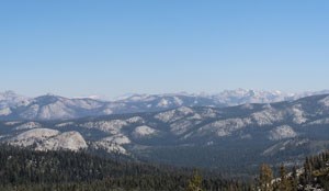
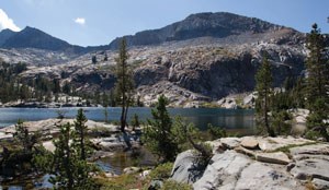
Ostrander LakeHighlights: Lakes Distance: 11.4 miles (18.3 km) round trip Elevation Gain: 1,500 feet (460 m) Permit Demand: Low Trailhead: Ostrander Lake Ostrander Lake sits on Horse Ridge, to the south of Glacier Point Road.The region provides views of the Clark Range and numerous domes. The trailhead provides a good launching point for longer trips into the southern half of Yosemite National Park. 
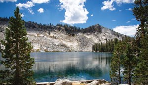
Red Peak PassHighlights: Lakes, Waterfalls, High Country Distance: 48.1 miles (77.4 km) loop Elevation Gain: 6,650 feet (2,030 m) Permit Demand: Low Trailhead: Mono Meadow Beginning at Mono Meadow and hiking this loop counterclockwise, this hike travels through vast forests broken by occasional views of domes like Mount Starr King. The trail continues up to Ottoway Lake, in the heart of the Clark Range. Hikers cross the range at Red Peak Pass, the highest pass in the park. From this high point, the trail drops into the drainage for the Merced River, following the river to Nevada Fall. From there, the route ascends through forests back to the trailhead. |
Last updated: January 19, 2022
