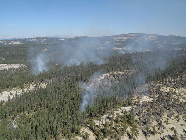
Yosemite fire crews are finishing both direct and indirect handlines to keep the fire from moving southwest into steeper portions of Cascade Creek and reduce smoke output. The fire is likely to continue spreading west/northwest into continuous red fir and lodgepole pine.
The south, southeast and east flanks are showing very little fire activity and are nearly out and/or cold as the fire has burned into previous handlines, installed to check the fire spread to the southeast, granite and sparse fuels. Little future growth is predicted along those flanks. The fire will continue to be monitored.
Air quality has remained in the good range with no significant health impacts in nearby smoke sensitive areas. Air quality monitors are located in the communities of Foresta, Yosemite West, Yosemite Valley, El Portal and Lee Vining. Smoke from the fire is visible in multiple areas along the Wawona, Big Oak Flat, Glacier Point and Tioga roads. The park's webcam, located at Crane Flat Helibase, captures fire images, which can be viewed at: https://ssgic.cr.usgs.gov/dashboards/WebCam.htm.

