New snow: 84 inches
Total settled snow depth: 50 inches (at 8,600 feet)
High temperature: 43°F (February 1)
Low temperature: -1°F (January 30)

Ski Conditions and Weather

Avalanche and Snowpack Conditions
Please refer to the Eastern Sierra Avalanche Center (ESAC) for the avalanche advisory for this part of the Sierra Nevada.
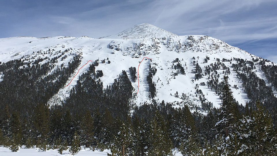
When the skies cleared after the storm, we observed evidence of widespread avalanches on north and east aspects above and below tree line. These occurred where a shallow snowpack remained from the snow that fell in November and December. Avalanching on this rotten snow layer would have been more widespread if not for the warm spell in mid-January and, more notably, the Mono wind event, which caused the old snow to become less uniform across avalanche paths. Pockets of this unstable snow (deep slab instability) remained, however, and the avalanches you see in the photos are relatively small in size (width) because of the spatial variability of the snowpack that existed before being loaded with the recent storm snow. Because these weak layers, now buried deep by new snow, can persist for long periods, this type of avalanche hazard will also persist for the foreseeable future. The other thing to take note of from the avalanche photo is how similar both avalanches are in elevation, aspect, and terrain features. This is not a typical Sierra snowpack and should be approached as such by winter travelers.

The avalanche hazard will be quite dynamic with winds and warmer temperatures in the forecast. Presently, winds are depositing large plumes of snow onto leeward slopes as evidenced by the large flags on the local peaks. Wind slab and cornice avalanche problems are presently a bigger hazard than the persistent slab, but all should be strongly considered if venturing out into avalanche terrain in the coming days.
Wildlife
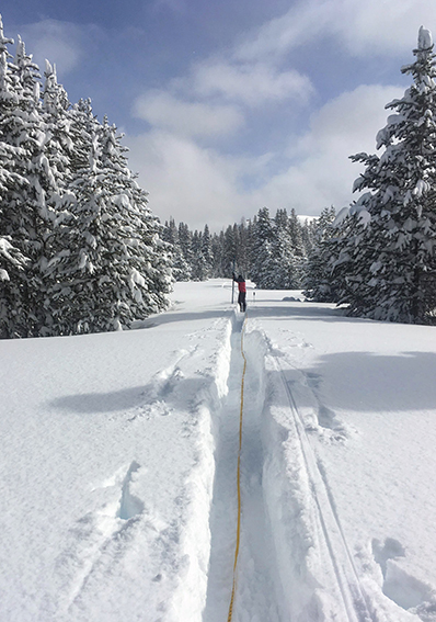
Not many four-legged creatures were out and about during this storm cycle. In fact, these two-legged snow surveyors struggled to get around even with skis. We would take turns breaking sections of trail days prior to our snow surveys just so we could accomplish them in time. Once our trails were set though, we would then see the coyote and other critters like mice take advantage of our tracks. The Clark’s nutcracker and mountain chickadees, however, remained un-phased while flying from tree to tree.
General Information
The Tuolumne Meadows Ski Hut is closed for the 2020-2021 season.

