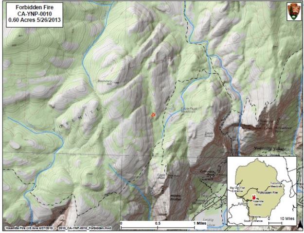
Smoke is visible from various locations in the park, including Tioga Rd, Sentinel Dome and Glacier Point. Fire managers are working with Mariposa County Air Pollution Control District concerning air quality impacts to nearby smoke sensitive areas.
Yosemite fire crews will be hiking into the fire area to continue monitor fire growth and to improve the north rim trail system near Eagle Peak Meadows, and utilize natural barriers to check the fire spread to the south. They will continue to scout for a week and determine the fire's potential growth and spread direction, measure fuel moisture, and monitor fire behavior and smoke production.
The Forbidden Fire meets the park's fire management objectives of firefighter and the public safety, as the fire presents few risks to values. The fire poses no threat to park service buildings, roads or infrastructure. When appropriate, fire crews will utilize pack stock for logistical support on this fire in an effort to preserve wilderness character.

The fire was named for the Forbidden Wall along the Yosemite Falls trail.

