Discovery Date: July 31st, 2017
Incident Personnel: 22
Size: 5,787 acres
Helicopters: 1
Containment: 55%
Cause: Lightning
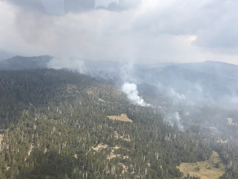
Fire activity was moderated yesterday due to spotty precipitation over the fire area. . The most activity was on the north east section near Glacier Point Road. Glacier Point Road remains closed until further notice due to fire operations. Showers and thunderstorms are possible this afternoon with a slight increase in temperatures and lower relative humidities.
Fire crews are implementing a perimeter control strategy for the north, west, and southern flanks of the fire to protect Bridalveil Campground, Yosemite Ski and Snowboard Area, Yosemite West subdivision, Wawona Road (Highway 41), and Glacier Point road. Today crews will continue preparation along Glacier Point Road from Bridalveil Campground to Mono Meadow trailhead and begin implementation of strategic burning operations which will minimize high fire behavior along the road. The west and south flanks of the fire are contained, holding, and will continue to be monitored by aircraft and fire personnel. Areas of new smoke may be seen as the fire cleans up areas of unburned fuel interior. The east flank is being allowed to move towards the Illilouette basin to continue to enhance forest resiliency in a fire adapted ecosystem Yosemite National Park has managed fire in this wilderness area for decades. This high country wilderness area is very steep and rugged with numerous natural barriers and minimal values at risk.
The following trail and area closures are in place until further notice:
- Glacier Point Road
- Bridalveil Campground
- Ostrander Trail
- Bridalveil Trail
- Alder Creek Trail
- Mono Meadow Trail
- Turner Meadow Trail

