An official website of the United States government
Here's how you know
Official websites use .gov A
.gov website belongs to an official government
organization in the United States.
Secure .gov websites use HTTPS A
lock (
) or https:// means you've safely connected to
the .gov website. Share sensitive information only on official,
secure websites.
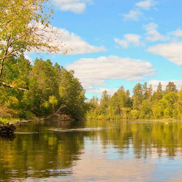
The Namekagon provides an intimate river experience on many of its stretches.
NPS/Pope
The Namekagon River courses one hundred miles through a mostly forested and rural Wisconsin landscape. It features tight meandering turns and braided stretches around many small islands. The river is generally shallow with a rocky bottom until you near its confluence with the St. Croix where a sandy bottom takes over.
Rapids are found throughout the river rarely reaching Class II. Shallow water near the head of the river makes paddling difficult except early in the season. Be sure to checkriver levels.
There are several portages around dams. Working dams at Hayward and Trego must be portaged (look for signs) and old dam sites at Pacwawong and Phipps can be run in higher water. Flowages behind these structures mean slower water and boat traffic.
Several small towns sit on the banks north of Trego, Wiscsonsin, lending history and charm to the river character. A wilder landscape can be experienced from County Road K Landing to the St. Croix confluence.
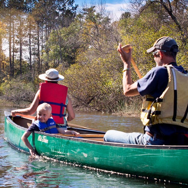
Don't miss the trout fishing on the upper Namekagon. Brown and brook trout live in the colder waters from Larson Road Landing north. The numerous campsites along the entire river make it easy to experience multi-day trips. People enjoy tubing on some stretches of the river, notably between Trout Run Landing and Hayward, and Earl Park Landing to Trego.