In an arid, Mediterranean climate like that of the San Francisco Bay Area, rivers and streams provide corridors of precious water that can sustain dense stands of trees and wetland plants, and support habitat for birds, fish, amphibians, insects, and aquatic invertebrates. Federally endangered coho salmon and threatened California red-legged frogs are among the many at-risk species that rely on healthy waterways in the Bay Area.
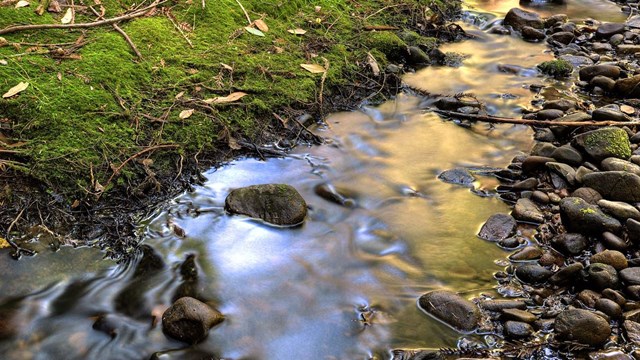
Browse articles and information summaries about rivers and streams in the San Francisco Bay Area.

Get the latest on rivers and streams from the Bay Area Nature & Science Blog.
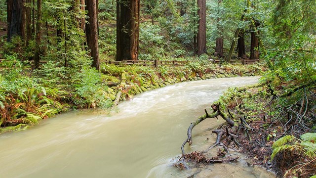
Explore more research, reports, and resources on rivers and streams in San Francisco Bay Area parks.
Long-term Monitoring
Water quality and streamflow are key indicators of the condition of aquatic resources and overall ecosystem health. Long-term monitoring helps to document stream conditions and create a baseline dataset that can be used to look at changes over time.
The San Francisco Bay Area Inventory and Monitoring Program began monitoring freshwater quality year-round in 2006. Park staff measure basic parameters (such as temperature, pH, dissolved oxygen, and conductivity) on-site, collect water samples to measure turbidity, nutrients, and bacteria in the lab.
The National Park Service has also collected streamflow data regularly at sites in Golden Gate and Point Reyes since 1997-98, at the Presidio since 2001 and at Pinnacles since 2008. Primary monitoring tasks at these stations include obtaining stream discharge measurements and capturing low-flow conditions as well as peak flow.
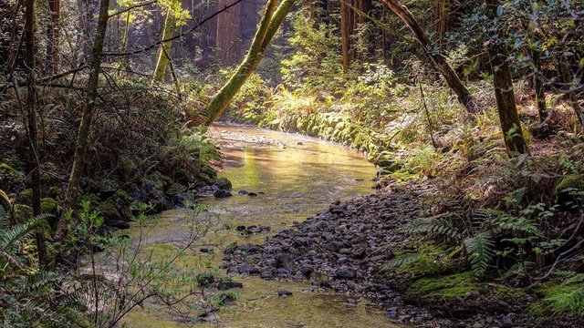
Dig in to monitoring protocols, reports, and more on the San Francisco Bay Area Network's Water Quality Monitoring page.
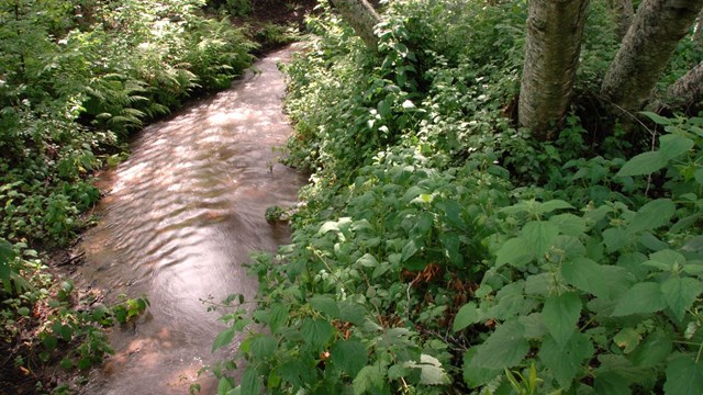
Check out more articles and information on the San Francisco Bay Area Network's Streamflow Monitoring page.
Last updated: July 10, 2018
