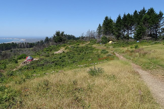
NPS/A. Kopshever Loading...
Basic Information
Amenities Fire/Stove Policy Toilet Types Shower Types Weather Email Address Phone number (Voice) Mailing Address Physical Address Directions Additional Information Cell Phone Additional Information Internet Additional Information Regulations
Image Gallery
Accessibility Information

NPS Photo Site Availability and DirectionsSites available for reservations through Recreation.gov three (3) months to the day in advance: Regular sites #3, #6, #8, #9, & #11 and Group site #2 Sites available for reservations through Recreation.gov 14 days in advance: Regular sites #1, #4, #5, #7, #10, & #12 Hiking RoutesThere are many potential hiking routes to get to Sky Campground. The two most popular routes are from the Sky Trailhead and the Bear Valley Trailhead. The easiest and shortest approach to Sky Campground is via a 2.2 km (1.4 miles) moderate uphill hike through the woods from the Sky Trailhead (geographic coordinates: 38.0549, -122.8381; elevation 250 meters [840 feet]), which is located along Limantour Road. For a more challenging hike, park at the Bear Valley Trailhead (geographic coordinates: 38.0398, -122.7994) to engage in a steeper uphill hike. Overnight parking is available in the gravel parking lot near the trailhead; do not park in the paved lot near the visitor center. Download the Bear Valley Area Map (427 KB PDF), which shows the location of the trailhead parking lot relative to the Bear Valley Visitor Center. There are many potential routes. The shortest two are via the Mt. Wittenberg or Meadow trails (both 4.3 km [2.7 mile]). For longer hikes, one can head up the Horse Trail or Old Pine Trail, or follow a number of other possible routes. There is only one route to Sky Campground open to bicycles and other non-motorized wheeled devices, like wagons. Start at the Sky Trailhead (geographic coordinates: 38.0549, -122.8381; elevation 250 meters [840 feet]), which is located along Limantour Road. Follow the Sky Trail south 2.2 km (1.4 miles) uphill through the woods to Sky Campground. Campground MapDownload the aerial photo/map of Sky Campground. (233 KB PDF) |
Last updated: September 18, 2024
