Last updated: February 4, 2025
Place
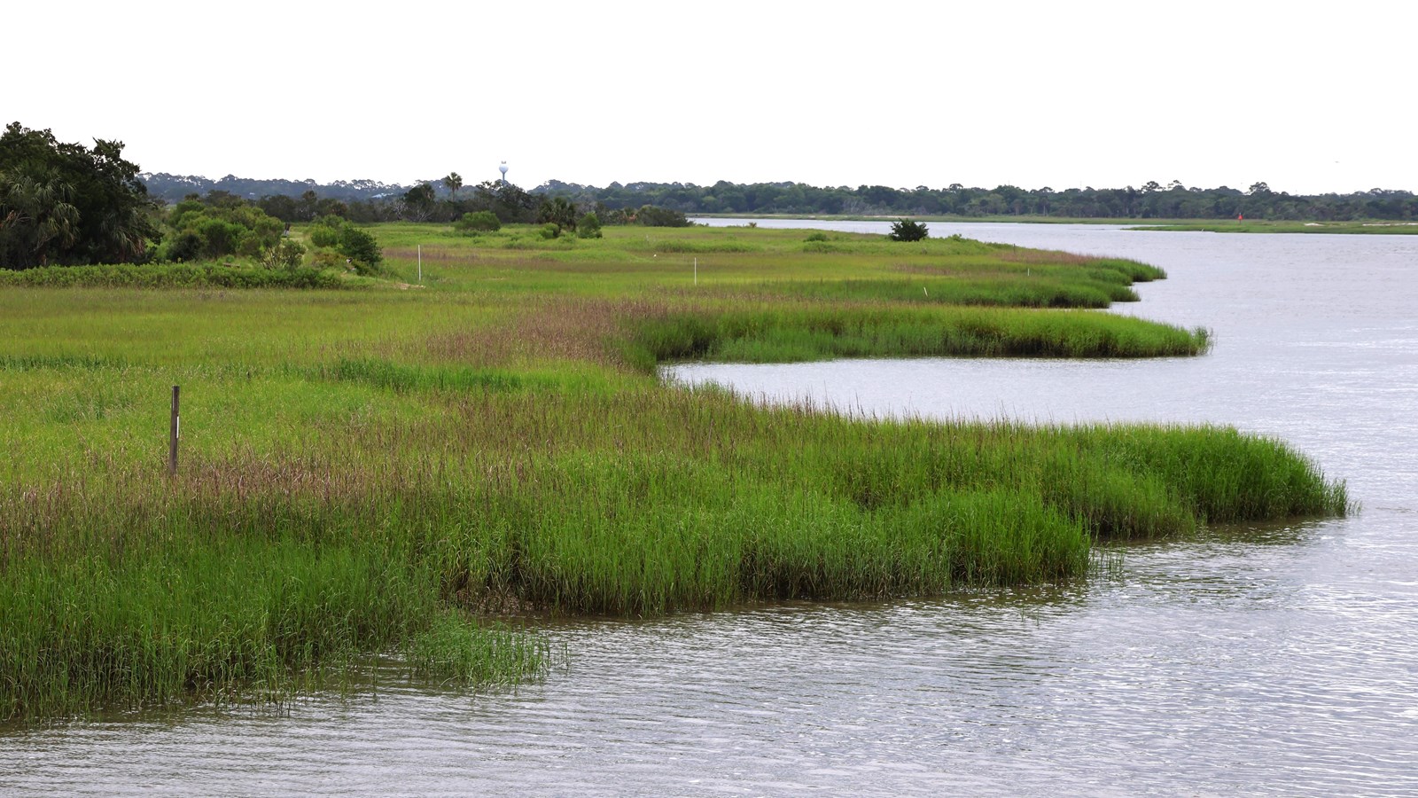
South Channel and the Marsh
NPS/J. Irving
Quick Facts
Location:
Cockspur Island
Water makes its way into and out of the moat that surrounds Fort Pulaski by way of the Feeder Canal. Beyond the feeder canal, the South Channel of the Savannah River lies in the distance. This channel is not as deep as the North Channel and is utilized by boaters and kayakers throughout the year. The South Channel was also used by both U.S. soldiers and Confederate soldiers during the Civil War to send messages back and forth from Tybee Island and Fort Pulaski.
Previously, the moat's water was replenished daily by tides, but now park staff manage the flood gate to control water levels. Incoming tides bring diverse aquatic life. If you look down into the moat, you might spot oysters, shrimp, blue crabs, river otters, alligators, or leaping mullet. The wildlife is transient, making each visit unique. Along the feeder canal, various birds, such as red-winged blackbirds, egrets, herons, and painted buntings, can be observed.
The dead trees behind the Visitor Center and along Cockspur Island may raise questions. Cockspur was originally salt marsh, not intended for a fort. When Fort Pulaski was constructed in the early 1800s, a dike system was established to separate salt and freshwater. In the 1930s, the Civilian Conservation Corps restored the fort, planting trees for aesthetics. As sea levels changed and coastal flooding increased, the dike eroded, allowing saltwater to infiltrate freshwater areas, leading to the decline of trees that cannot thrive in saltwater.
-
South Channel and the Marsh Ranger Talk
Listen to a park ranger talk about this tour stop.
- Credit / Author:
- NPS/Healy
- Date created:
- 07/01/2020