Last updated: January 10, 2022
Place
Middle Village & Station Camp
Quick Facts
Location:
92343 Fort Clatsop Road, Astoria, OR 97103
Amenities
2 listed
Historical/Interpretive Information/Exhibits, Information Kiosk/Bulletin Board
Lewis and Clark NHT Visitor Centers and Museums
This map shows a range of features associated with the Lewis and Clark National Historic Trail, which commemorates the 1803-1806 Lewis and Clark Expedition. The trail spans a large portion of the North American continent, from the Ohio River in Pittsburgh, Pennsylvania, to the mouth of the Columbia River in Oregon and Washington. The trail is comprised of the historic route of the Lewis and Clark Expedition, an auto tour route, high potential historic sites (shown in black), visitor centers (shown in orange), and pivotal places (shown in green). These features can be selected on the map to reveal additional information. Also shown is a base map displaying state boundaries, cities, rivers, and highways. The map conveys how a significant area of the North American continent was traversed by the Lewis and Clark Expedition and indicates the many places where visitors can learn about their journey and experience the landscape through which they traveled.
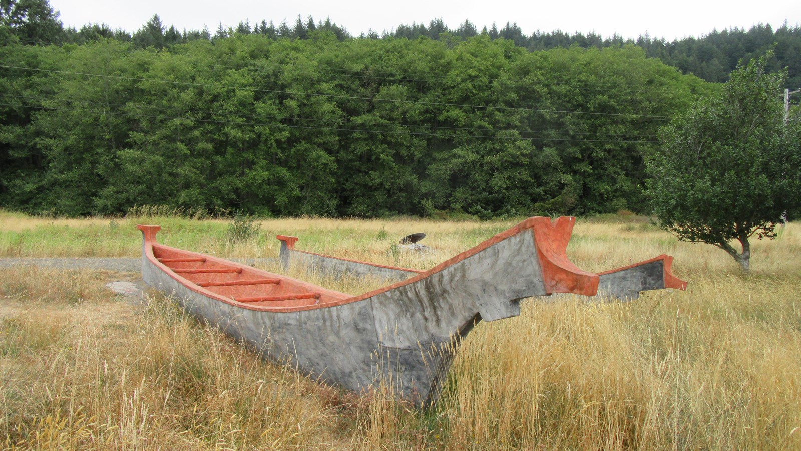
Middle Village History
Right along highway 101 on the north side of the Columbia River, east of Chinook, Washington, you’ll find Middle Village, the site of a significant Chinook village. For thousands of years, the Chinook people have lived along the Columbia River and their home near the river's mouth was strategically located to provide abundant food, such as salmon and shellfish. In addition, the nearby forests were home to game animals and the grasslands and marshes provided ample materials for making shelter, clothing and trade and household goods. The river provided a way for Chinook traders to travel to the south shore and up and down the Columbia.
They developed a sophisticated, rich culture and enjoyed great success as traders. The waterway near Middle Village became a virtual trade "water highway." During the 10 years before Lewis and Clark arrived overland at the this spot almost 90 trade ships from Europe and New England are documented to have crossed the Columbia River Bar to trade with Native Americans. These ships brought metal tools, blankets, clothing, beads, liquor and weapons to trade for beaver and sea otter pelts. By the time the Corps reached the site, the Chinook's had moved to their winter village and this village was unoccupied.
In 2005, archeologists found abundant physical evidence to support the importance of the site as a Chinook trade village. More than 10,000 artifacts were uncovered, including trade beads, plates, cups, musket balls, arrowheads, Indian fish net weights and ceremonial items. The European artifacts are from both before and after the Corps' visit in 1805, and attest to the vitality of the Chinook social and economic life at the site.
Station Camp History
The Corps spent just 10 days here, but used Middle Village as a departure point for an overland trek to their first view of the Pacific Ocean and an exploration of the area. Historians called the spot "Station Camp" because it was Clark's primary survey station to produce a detailed and accurate map of the mouth of the Columbia River and surrounding area. This was the most detailed and accurate map he made during the entire trip.
On Nov. 24, 1805, the explorers desperately needed a winter campsite, one rich with game and near friendly tribes who would trade for supplies. To assist in deciding where the Corps should winter, the captains took "Solictations of every individual." This included York, who was an enslaved man, and Sacagawea, a Lemhi Shoshone woman who was married to Toussaint Charbonneau. The majority chose to cross to the south side of the Columbia River, near modern-day Astoria, Oregon, to build winter quarters, which soon would be known as Fort Clatsop.
Today
The Middle Village - Station Camp site focuses on the Chinook Indian Nation history, as well as telling the story of early contact, the Corps', and the town of McGowan. Middle Village - Station Camp was dedicated on August 18, 2012.
The site is open during daylight hours. Check in at the visitor center at Fort Clatsop to pay any park fees and get additional information.
Middle Village - Station Camp is a High Potential Historic Site on the Lewis and Clark National Historic Trail.