Last updated: January 2, 2025
Place
Grand Sable Visitor Center Orientation Wayside
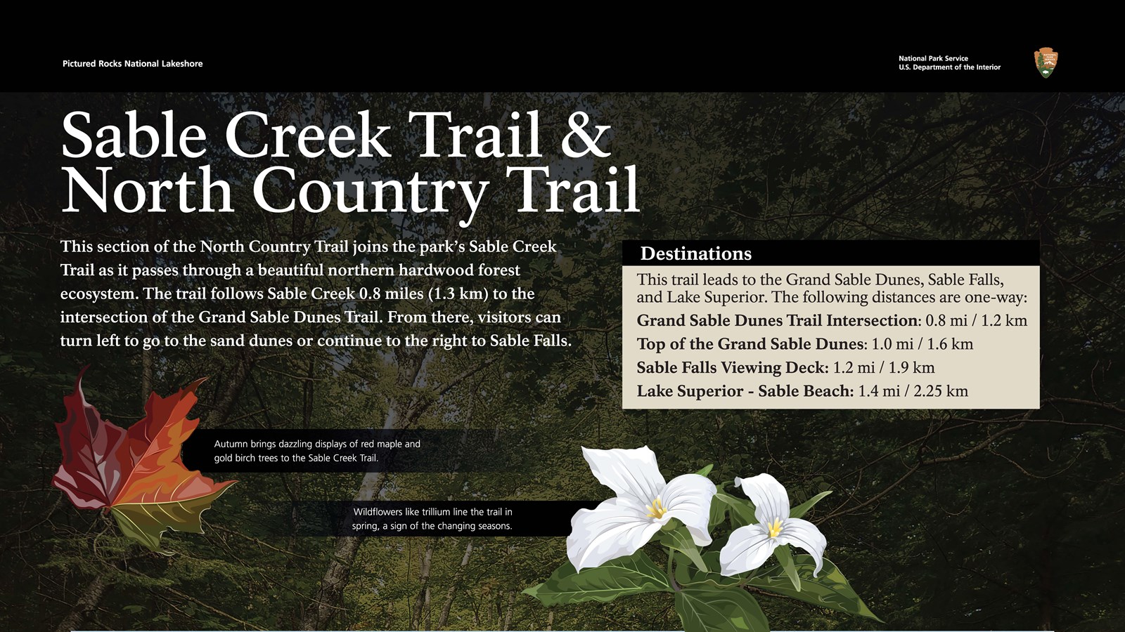
This section of the North Country Trail joins the park’s Sable Creek Trail as it passes through a beautiful northern hardwood forest ecosystem. The trail follows Sable Creek 0.8 miles (1.3 km) to the intersection of the Grand Sable Dunes Trail. From there, visitors can turn left to go to the sand dunes or continue to the right to Sable Falls.
Autumn brings dazzling displays of red maple and gold birch trees to the Sable Creek Trail.
Wildflowers like trillium line the trail in spring, a sign of the changing seasons.
This trail leads to the Grand Sable Dunes, Sable Falls, and Lake Superior. Distance (one way): - Grand Sable Dunes Trail Intersection - 0.8 mi, Top of Dunes - 1.0 mi, Sable Falls Viewing Deck - 1.2, Lake Superior - Sable Beach 1.4 mi.
Map: You are currently at the Grand Sable Visitor Center. The North Country National Scenic Trail extends north towards Lake Superior. The Dune Trail splits left from the main trail .8 miles from this point. .9 miles from this point, you will reach viewing platforms for Sable Falls. Continuing on the trail will take you to Sable Beach and onwards on the North Country Trail. There is another trailhead off of the Sable Falls parking area, approximately 1 mile away from the Grand Sable Visitor Center on H-58. There is parking, restrooms, picnic tables and a trailheqad in this area; there are the same amenities at the Sable Falls parking area. Pets and drones are prohibited.
Trail Reminders: Be prepared for biting insects and poison ivy; stay on the trail; pets are not allowed on the trail.