Last updated: October 5, 2020
Place
Gates of the Mountains

NPS/ Alex Wiles
Lewis and Clark NHT Visitor Centers and Museums
This map shows a range of features associated with the Lewis and Clark National Historic Trail, which commemorates the 1803-1806 Lewis and Clark Expedition. The trail spans a large portion of the North American continent, from the Ohio River in Pittsburgh, Pennsylvania, to the mouth of the Columbia River in Oregon and Washington. The trail is comprised of the historic route of the Lewis and Clark Expedition, an auto tour route, high potential historic sites (shown in black), visitor centers (shown in orange), and pivotal places (shown in green). These features can be selected on the map to reveal additional information. Also shown is a base map displaying state boundaries, cities, rivers, and highways. The map conveys how a significant area of the North American continent was traversed by the Lewis and Clark Expedition and indicates the many places where visitors can learn about their journey and experience the landscape through which they traveled.
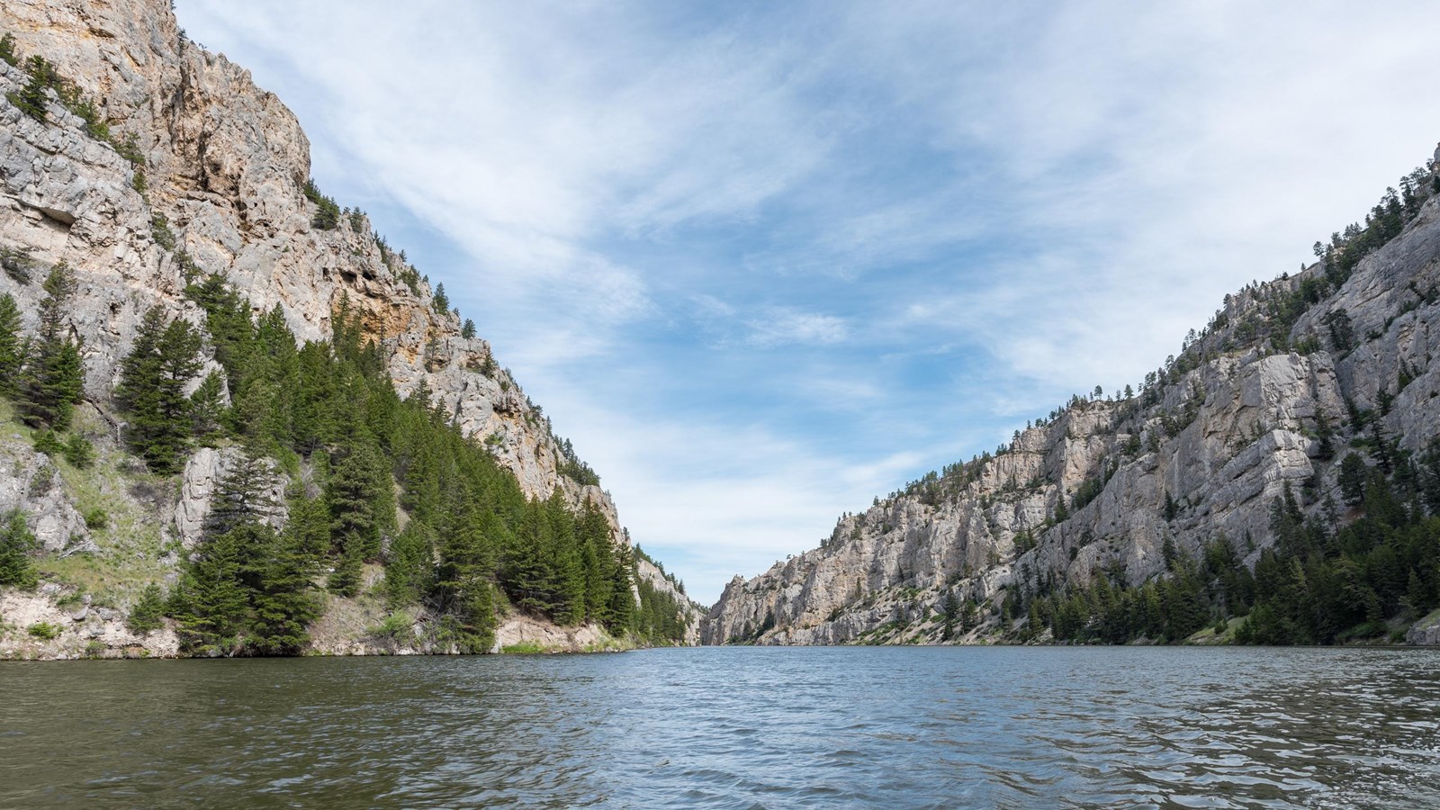
On July 19, 1805, Lewis wrote, “this evening we entered much the most remarkable clifts that we have yet seen. these clifts rise from the waters edge on either side perpendicularly to the hight of 1200 feet. every object here wears a dark and gloomy aspect. the tow[er]ing and projecting rocks in many places seem ready to tumble on us. the river appears to have forced it’s way through this immence body of solid rock for the distance of 5¾ miles and where it makes it’s exit below has thrown on either side vast collumns of rocks mountains high. the river appears to have woarn a passage just the width of it’s channel or 150 yds. it is deep from side to side nor is ther in the 1st 3 miles of this distance a spot except one of a few yards in extent on which a man could rest the soal of his foot. several fine springs burst out at the waters edge from the interstices of the rocks. it happens fortunately that altho’ the current is strong it is not so much so but what it may be overcome with the oars for there is hear no possibility of using either the cord or Setting pole. it was late in the evening before I entered this place and was obliged to continue my rout untill sometime after dark before I found a place sufficiently large to encamp my small party; at length such an one occurred on the lard. […] from the singular appeaerance of this place I called it the gates of the rocky mountains.”
The 1918 construction of Holter Dam impacted the canyon by significantly raising the water level and reducing the current. Otherwise, the wilderness character is largely intact. It is located within the Gates of the Mountain Wilderness and managed by Helena National Forest.
