Last updated: March 31, 2025
Place
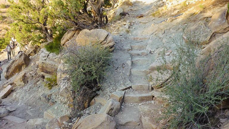
CCC Trail (Colorado National Monument)
NPS Photo
Quick Facts
Amenities
1 listed
Trailhead
CCC Trail (Colorado National Monument)
Map highlighting in red the CCC Trail in Colorado National Monument as a short one-way hike from Rim Rock Drive up to Black Ridge Trail.
- Location: From Saddlehorn Visitor Center, turn left onto Rim Rock Drive and proceed 3.8 miles (6.1 km). The trailhead is on the right - look for the bulletin board. Proceed forward and park in the large pullout on the left.
- Mileage: 0.75 one way (1.2 km)
- Difficulty Level: Moderate
- Elevation: 6,200 to 6,600 feet (1890 to 2012 meters)
- Average time: 1 hour
- Usage: Hiking only. Pets and horses prohibited.
- Description: This trail is one of three routes to Black Ridge Trail. It also serves to connect Black Ridge Trail with Monument Canyon Trail. The trail ascends to the junction with Black Ridge.