Last updated: December 30, 2021
Place
Blackbird Hill

Lewis and Clark NHT Visitor Centers and Museums
This map shows a range of features associated with the Lewis and Clark National Historic Trail, which commemorates the 1803-1806 Lewis and Clark Expedition. The trail spans a large portion of the North American continent, from the Ohio River in Pittsburgh, Pennsylvania, to the mouth of the Columbia River in Oregon and Washington. The trail is comprised of the historic route of the Lewis and Clark Expedition, an auto tour route, high potential historic sites (shown in black), visitor centers (shown in orange), and pivotal places (shown in green). These features can be selected on the map to reveal additional information. Also shown is a base map displaying state boundaries, cities, rivers, and highways. The map conveys how a significant area of the North American continent was traversed by the Lewis and Clark Expedition and indicates the many places where visitors can learn about their journey and experience the landscape through which they traveled.
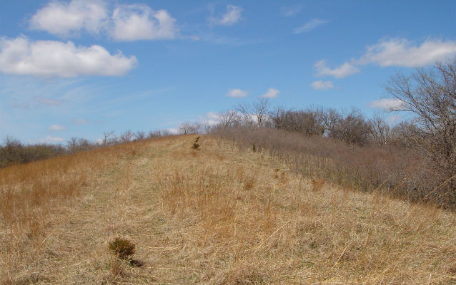
Blackbird Hill is a 300-foot-high promontory on the west side of the Missouri River in present-day Nebraska. On August 11, 1804, Lewis, Clark and ten other men climbed the hill to visit the grave of Omaha Chief Blackbird, whose ruthlessness had gained him notoriety among other tribes and traders from St. Louis. Clark wrote, “We landed at the foot of the hill on which Black Bird The late King of the mahar who Died 4 years ago & 400 of his nation with the Small pox was buried and went up and fixed a white flag bound with Blue white & read on the Grave which was about 12 foot Base & circueller, on the top of a Penical about 300 foot above the water of the river, from the top of this hill may be Seen the bends or meanderings of the river for 60 or 70 miles round.”
Blackbird Hill remained a distinctive landmark for river travelers throughout the 19th century. It was painted by George Catlin in 1832 and Karl Bodmer in 1833. According to traditional Omaha tribal accounts, Chief Big Elk was also buried at this site. In a downslope gorge, natural sandstone bedrock exposures display a collection of petroglyphs which depict human, animal, and supernatural figures. While tribal or chronological affiliation of the petroglyphs is unknown, one resembling a human on horseback is likely post-1700 CE. Located within the Omaha Reservation, Blackbird Hill is privately owned but publicly viewable from adjacent roadways.
