Pinnacles Vegetation Mapping Project: Understanding and Preserving Plant CommunitiesIntroductionA vegetation map provides a visual representation of plant communities across a specific landscape. It delineates groups of plant species that commonly occur together, forming patch-like configurations on a map. These maps, enriched with details like species composition or soil type, are invaluable tools for understanding the interactions between biological and physical elements of the environment. Vegetation maps highlight trends such as the spread of exotic species into native ecosystems or the regrowth of vegetation after a fire. They also identify habitats where rare species, like Pinnacles buckwheat (Eriogonum nortonii) or the San Joaquin coachwhip snake (Masticophis flagellum ruddocki), may be found. Beyond simply correlating species with habitat types, these maps provide insights into the underlying environmental characteristics that support particular species. For instance, valley oaks (Quercus lobata) are consistently found on fine soils associated with a landform called the Pleistocene Terrace. Information like this is crucial for responsible resource management in our parks. As part of the National Park Service's national Inventory and Monitoring initiative, Pinnacles National Park is undertaking a two-year Vegetation Mapping Project. Vegetation Map DevelopmentThe Pinnacles National Park Vegetation Mapping Project uses IKONOS digital satellite imagery as the foundation. Data on vegetation collected during field sampling in 2003 and 2004 is being statistically analyzed by the University of Montana’s Wildlife Spatial Analysis Lab. This analysis diagrams the relationship between the imagery and the vegetation, resulting in a map that identifies and segments different vegetation types. Field crews at Pinnacles use a method called a relevé for vegetation sampling, a standard developed by the California Native Plant Society in 1995. This method involves thoroughly inventorying plant species within an area and measuring the amount of ground cover each species occupies. Crews also record GPS coordinates, soil texture, topography, site history, and photographic information for each location. In 2003, teams surveyed approximately 250 plots, focusing on chaparral, California buckwheat, and woodland vegetation communities. By June 2004, the mapping crew is expected to complete the 650 plot surveys necessary for producing an accurate vegetation map. Vegetation ClassificationTo accurately segment the map into vegetation alliances, a botanical classification of the vegetation is required. This classification involves defining distinguishable vegetation types based on standards from the National Biological Survey and the California Native Plant Society. Adhering to these standards ensures consistency and allows for the sharing of information and comparison with other geographical areas. The classification will encompass a wide variety of vegetation types, from those prevalent throughout Pinnacles to those occupying smaller portions of the park’s 24,500 acres. Below are some of the vegetation types or alliances that will be represented on Pinnacles’ vegetation map:
This project aims to produce an accurate and comprehensive vegetation map that will be vital for managing and conserving the diverse plant communities of Pinnacles National Park. 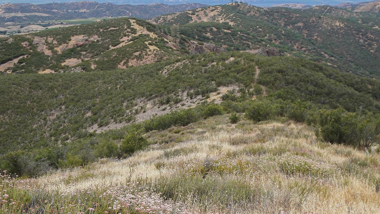
Vegetation Maps & Inventories
Find inventory products for vegetation and plant community projects in San Francisco Bay Area Network parks. |
Last updated: October 17, 2024