|
It is our task, in our time and in our generation, to hand down undiminished to those who come after us, the natural wealth and beauty which is ours.

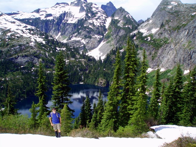
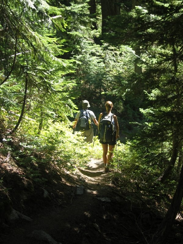
C Gudgeon This trail makes a nice day hike or overnight backpack to a subalpine lake, with opportunities for off-trail exploration in the area. The first two miles of trail follow the gentle grade of an old road, although new growth means this section is often brushy. Then the trail climbs steadily upward through mature hemlock forest until it reaches meadows of heather and huckleberry just before attaining the ridge. From the ridge, views of Triumph Peak and lower Thornton Lake dominate. It is a steep, often muddy and slippery descent to the lake, with a rock- and floating-log scramble to cross the outlet of the lake and reach the camp. See the detailed trail description for more information about this area. Special Concerns:
Backcountry Camping: A backcountry permit is required for all overnight stays, and must be at a designated site in the Thornton Lakes areas. Permits are limited. There are three sites at lower Thornton Lake, and this popular camp can fill quickly during busy periods. Camping is not allowed on the ridge above the lake, Trappers Peak, or at the second lake. Climbers headed for Triumph Peak may obtain a permit to camp at the Triumph Col cross-country zone. Access: Drive State Route 20 approximately 11 miles (18 km) east of Marblemount. Turn onto the Thornton Lakes Road, and follow this road for 5 miles (8 km) to the trailhead. This road is rough and steep in sections, and is not recommended for low-clearance vehicles or trailers. Drive slowly.

R Seifried Detailed Trail Description The first 2.3 trail miles (3.7 km) of trail follow an old road grade through a logging area from the 1960s, before the park was established. A natural mix of Douglas-fir, Pacific silver fir, hemlock, cedar, alder, and maples are returning. This lower section can be brushy. The trail enters steep forested slopes, with moderate to steep switchbacks, and a wet meadow with boggy plants and a clear creeklet, just before entering the park. Four and a half miles (7.4 km) from the trailhead, the trail breaks out into meadows just below an open ridge. From here there are views of Mt. Triumph, Teebone Ridge, and the Skagit Valley. A scramble route leads steeply upward to Trappers Peak and views of all three lakes. The main trail continues to a lesser ridge with fine views of the first lake and Triumph Peak beyond. A steep .6 mile (1 km) drop from the saddle ends at lower Thornton Lake. Use caution when crossing the outlet on boulders and logs! There are two more lakes, each cupped in its own rocky basin, above the first lake. These classic cirque lakes were created as glaciers gouged out rock basins, then retreated. A primitive climber's path proceeds to the upper lakes and Triumph Col. This is a rich wildlife habitat. Look for deer, bear, marmot, and birds. Observe hawks and eagles during autumn migration.

|
Last updated: September 1, 2021
