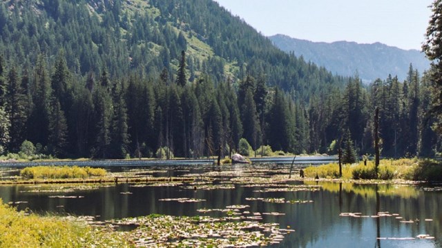
Day Hiking

What sort of hike do you want to take today? Fancy a peaceful stroll down to the river, looking for birds and wildlife, or a glimpse of migrating salmon? Or are you in the mood to push your limits, climb to the heights and watch the world unfold below you? Short or long, low elevation or high, there are hundreds of miles of trails awaiting your discovery throughout the season.

The trail guide below is organized by lengths of hikes. Or, if you already know the name of the trail you are interested in, check the alphabetical listing of all the trails in the park complex. For hikes in the Stehekin area, please visit the Stehekin page.


Under an Hour

 
Snow-covered mountains

NPS / David Hursey

Newhalem Area Trails

330 ft (100m) to 1.8 mile (2.9 km)
Choose from a variety of short, forested trails. More details.

 
A boardwalk along a cascading creek

NPS Photo

Happy Creek Forest Walk

Mile Post 134
.03 mile (.05 km) loop with optional 2 mile (3.21) roundtrip spur to a waterfall
Stroll through the forest along a cascading creek.


One to Two Hour Hikes

 
A person stands looking at a mountain view.

NPS / Lin Skavdahl

Thunder Knob Trail

Mile Post 130
3.6 miles (5.8 km) roundtrip with 425 ft (130m) elevation gain
A popular trail to a view of Diablo Lake. More details.

 
A hiker stands on a bridge over a creek.

NPS / Rosemary Seifried

Thunder Creek Trail

Mile Post 130
4 miles (6.4 km) roundtrip
Hike an easy trail through old-growth forest to a bridge. More details.

 
A view of a dam surrounded by mountains.

NPS / Astudillo

Ross Dam Trail

Mile Post 134
1.5 miles (2.4 km) roundtrip with 500 ft (150 m) elevation gain
Hike this moderate trail to walk across the historic Ross Dam. Option for a longer hike or backpack along Ross Lake. More details.


Half Day Hikes

 
Logs float in a small lake.

NPS Photo

Pyramid Lake

Mile Post 127
2.1 miles (3.4 km) one way / 1500 ft (455 m) elevation gain
Hike through the forest to a small mountain lake. More details.

 
A boat on a green lake.

NPS / Astudillo

Diablo Lake Trail

Mile Post 128
7.6 miles (12.2 km) round trip / 1500 ft (455 m) elevation gain
Hike through the forest for peek-a-boo views of Diablo Lake.

 
Mountain goat with mountains in the background.

NPS / Pat Milliren

Easy Pass Trail

Mile Post 151
7.4 miles (11.9 km) roundtrip / 3000 ft (914 m) elevation gain
A steep trail to a mountain pass with panoramic vistas. More details.

 
Hikers on a forested trail.

NPS / Rosemary Seifried

Stetattle Creek Trail

Mile Post 126
3.0 miles (4.8 km) one way / 1,100 ft (335 m) elevation gain
A forest hike with some rock scrambling along the rivers edge. More details.


Full Day Hikes

 
A hiker stands in front of a mountain lake

NPS / C. Gudgeon

Thornton Lake Trail

Mile Post 117
10.4 miles (16.7 km) roundtrip / 2,300 ft (700 m) elevation gain
Views of high mountain lakes and nearby peaks. More details.

 
A hiker stands in front of a mountain view.

NPS / Michael Silverman

Sourdough Mountain

Mile Post 126
10.4 miles roundtrip (16.7 km) / 4870 ft (1484 m) elevation gain
A difficult trail with spectacular views of peaks and lakes. More details.

 
A hiker walks through the forest.

NPS / Rosemary Seifried

Fourth of July Pass

Mile Post 130
10 miles (16.1 km) roundtrip / 2,300 ft (700 m) elevation gain
Travel through an old-growth forest for mountain and glacier views. More details.

 
A small waterfall.

NPS / Mack Kolarich

East Bank Trail

Mile Post 138
Variable distance and elevation gain
A moderate trail though lowland forests with lakeside views. More details.

 
Hikers rest on a bench with mountain views.

NPS / Deby Dixon

Cascade Pass Trail

Located at the end of the Cascade River Road
3.7 miles (6 km) one way / 1700 ft (550 m) elevation gain
A popular day hike with spectacular views of peaks and glaciers. More details.

 
A small mountain lake

NPS / Kristen Doering

Monogram Lake

Off the Cascade River Road
10 miles (8 km) roundtrip / 4040 ft (1231 m) gain to ridge
A strenuous hike to a small cirque lake. More details.

 
A hiker sits and photographs a mountain lake.

NPS / Bonnie Seifried

Hidden Lake

Off the Cascade River Road
4.5 miles (7.2 km) one way / 2900 ft (884 m) elevation gain
A steep hike to a small mountain lake and historic fire lookout. More details.

 
A pond covered in lily pads.
Hiking in Stehekin

Explore the many trails in the Stehekin area.
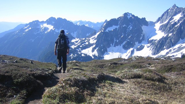
A hiker walks on a trail through a meadow, with mountains in the distance.
Hiking Safety

Plan on hitting the trail? Be prepared!
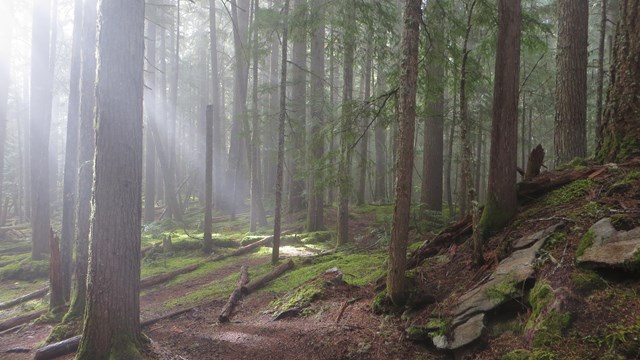
Trail Conditions

General conditions and a trail-by-trail list of the most recent conditions reports.

Last updated: September 25, 2024

Park footer

Contact Info

Mailing Address:

810 State Route 20
Sedro-Woolley, WA 98284

Phone:

360 854-7200

Contact Us