- Katahdin Woods and Waters National Monument (12)
- Homestead National Historical Park (10)
- Acadia National Park (6)
- Upper Delaware Scenic & Recreational River (6)
- Sleeping Bear Dunes National Lakeshore (5)
- Golden Gate National Recreation Area (4)
- Independence National Historical Park (4)
- Lassen Volcanic National Park (3)
- Lewis & Clark National Historic Trail (3)
- Show More ...
Showing 142 results for seboeis parcel ...
Highland River Access
Skinners Falls River Access
- Type: Place
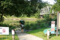
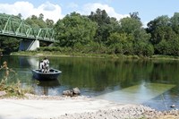
The Skinners Falls River Access is a public river access for the Delaware River located near Milanville, PA adjacent to the Skinners Falls Bridge. It is owned by the New York Department of Environmental Conservation. This is a canoe/kayak access only. Please note the Skinners Falls Bridge is closed to all traffic at this time.
Damascus River Access
Darbytown River Access
- Type: Place

The Darbytown River Access is a public river access for the Delaware River located near Narrowsburg, NY across the river in Darbytown, PA. It is owned by the Pennsylvania Fish and Boat Commission. This access is open for canoes, kayaks, and other non-motorized boats. Motorized boats can be launched at this access.
Zane Grey (Lackawaxen) River Access
- Type: Person

Marie Equi was born in 1872 in New Bedford. A homesteader in Oregon, Marie became a physician and activist. Equi was placed in charge of obstetrics at the United States Army General Hospital in the Presidio of San Francisco. She was subsequently decorated by the U.S. Army for her humanitarian efforts.
Victory Woods
- Type: Place

One of the five peninsulas that are designated a part of the Boston Harbor Islands National and State Park, the former island called World’s End boasts more than 250 acres, and four drumlins. World’s End is home to one of the highest points in the harbor and offers excellent views of Boston and the south shore.
Langlee Island
- Type: Place

Eleven miles South of Boston, in the middle of Hingham Bay sits an eight-acre island called Langlee Island. Its closest in distance to Sarah, Ragged, and Button Islands. Similar to other islands in the harbor, local indigenous communities likely accessed the island seasonally before European settlers arrived.
Tipton Place
PA Gradual Abolition of Slavery Act - March 1, 1780
- Type: Article

In 1780 the Pennsylvania Assembly passed the Act for the Gradual Abolition of Slavery into law. It was the first of several legislative enactments to abolish slavery in the states between 1780 and 1804. The act stated, “every Negro and Mulatto child born within the state after the passing of the Act would be free upon reaching age twenty-eight.”
Prairie Restoration Underway at Rancho Corral de Tierra
- Type: Article

Work on the Montara Prairie Renewal Project began in Fall 2024. The restoration project aims to protect and enhance coastal grasslands in the Montara Parcel of Rancho Corral de Tierra. We have already completed pre-restoration monitoring, and removal of several acres of invasive shrubs and conifers within historic grassland footprints.
How Freedom Came to Big Pa
- Type: Article

“How Freedom Came to Big Pa” was published in the April 1916 issue of The Southern Workman and was written by Grace House, a principal of the Penn School. The essay shares Prince Polite's account of attending the Emancipation Day Celebration at Camp Saxton with his grandfather, "Big Pa", on January 1, 1863.
John & Ingeborg Thoreson Farm
Ephram Smith
- Type: Person

Ephram Smith, Jr.'s Homestead application # 25026 was recorded on December 11, 1890, in the Register of Land Office by J.H. Bingham. According to his land entry papers, his homestead was located in the SE¼ of NE ¼ of Section 14, S ½ of NW ¼, NE ¼ of SW ¼ of Section 13, Township 3N of Range 20E in Coffee County, AL. His homestead consisted of 138.57 acres. The required filing fee of $13.50 was also recorded on December 11, 1890, at the Receiver’s Office.
Ole & Magdalena Olsen Farm
- Type: Place
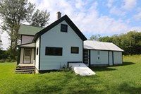
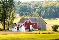
The Ole Olsen farm illustrates how farms were bought and sold within a community. Although the boundaries of this 120 acre farm have remained constant, ownership changed many times, but, for most of the time, it was owned by the Olsen family. A short hike of about 1/3 mile east from the buildings will take you behind Narada Lake, where herons, geese, and loons are often seen.
Buckingham River Access
Kitchen at Grand Portage
Cessions of Land by Indigenous Peoples in the State of Indiana
- Type: Article
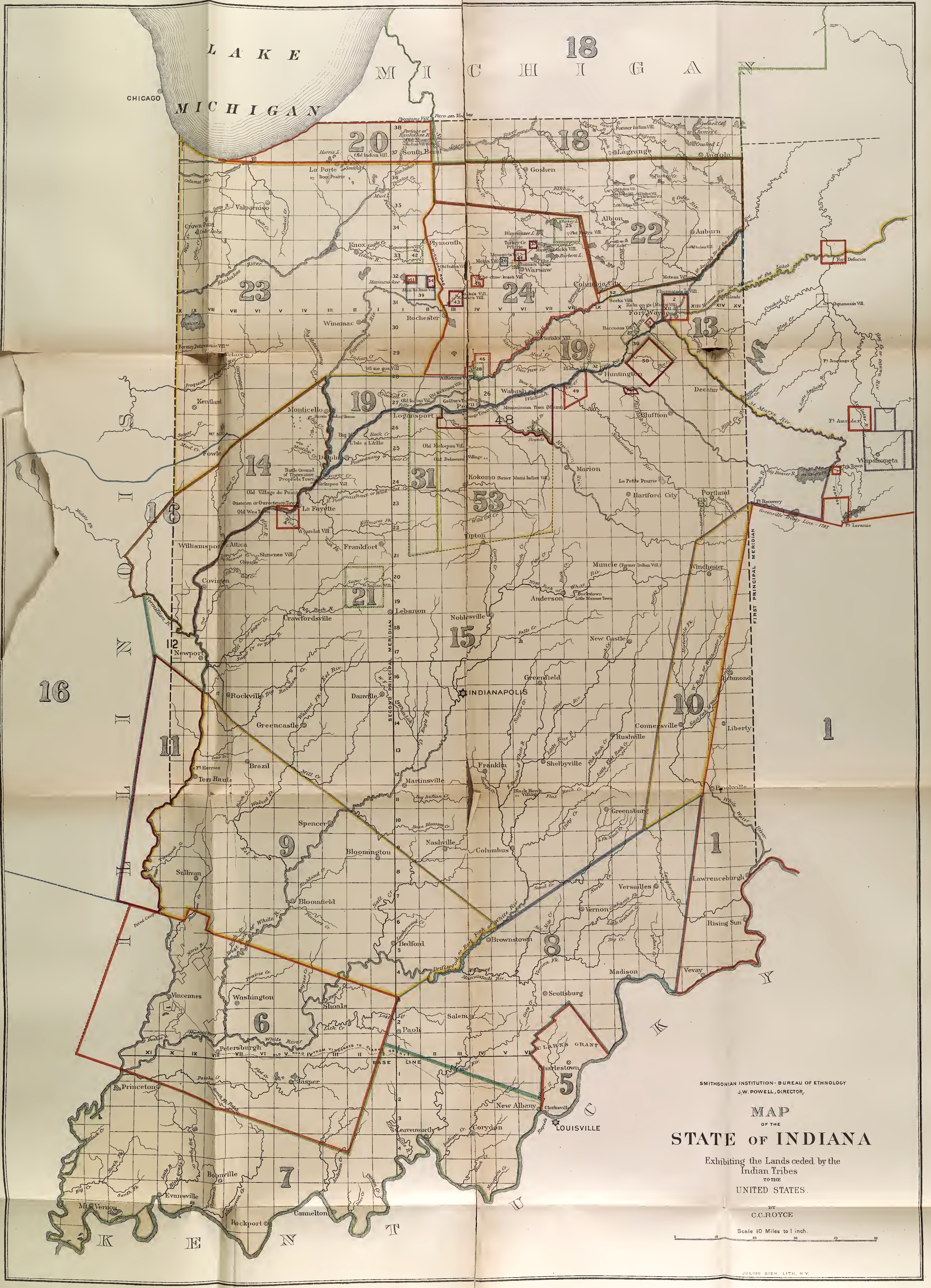
Explore an 1881 map by C. C. Royce that details Indigenous land cessions in northern Indiana, highlighting areas once inhabited by the Miami and Potawatomi tribes. The map marks parcels of land ceded through treaties with the U.S. government, with numbered sections that correspond to descriptions of the treaties and the specific lands involved.


