Filter Your Results
- Yellowstone National Park (135)
- Boston National Historical Park (85)
- Lewis & Clark National Historic Trail (81)
- Bryce Canyon National Park (66)
- Boston African American National Historic Site (63)
- Golden Gate National Recreation Area (61)
- Boston Harbor Islands National Recreation Area (56)
- New River Gorge National Park & Preserve (47)
- Mount Rainier National Park (44)
- Show More ...
- Geologic Resources Division (169)
- American Battlefield Protection Program (15)
- National Center for Preservation Technology and Training (12)
- Inventory and Monitoring Division (9)
- Natural Resource Stewardship and Science Directorate (7)
- Wildland Fire Program (7)
- Archeology Program (6)
- Network to Freedom (5)
- Sonoran Desert Inventory & Monitoring Network (5)
- Show More ...
Showing 1,911 results for map ...
Upper Delaware Scenic & Recreational River
Upper Delaware Scenic & Recreational River Headquarters
- Type: Place

The Park Headquarters for Upper Delaware Scenic and Recreational River offers brochures, maps, passport cancellation stamps, a scenic river overlook, and access to a seasonal portable restroom. There is no visitor center or interpretive park rangers located at park headquarters. The buildings located at park headquarters are used for staff offices.
Yosemite National Park
Yosemite Bike Share Program
- Type: Place

The free Yosemite Bike Share opens for the season in late spring, depending on weather and road safety. When it opens, you can use the bike share for short trips (up to two hours) in Yosemite Valley.
Trail Of Tears National Historic Trail
Charles Hall Museum and Heritage Center
- Type: Place

This non-profit history museum features interpretive panels and maps that tell the story of over 3000 North Carolina Cherokee prisoners in several detachments who camped and walked through Tellico Plains on the first leg of their journey to live in Indian Territory (Oklahoma). Visitors can view display cabinets of stone and clay tools and relics the local Overhill Cherokee used for farming, cooking, hunting, weapons and games.
Homestead National Historical Park
Cupid Steward
- Type: Person
In 1879, Steward submitted homesteadapplication number 9952at the Huntsville, Alabamalandoffice, requesting a patent for160and19/100 acres of land atthesouthwest quadrantof Section 14, Township3S, Range 6E in JacksonCounty, Alabama.
Mount Rainier National Park
Carbon River
- Type: Place
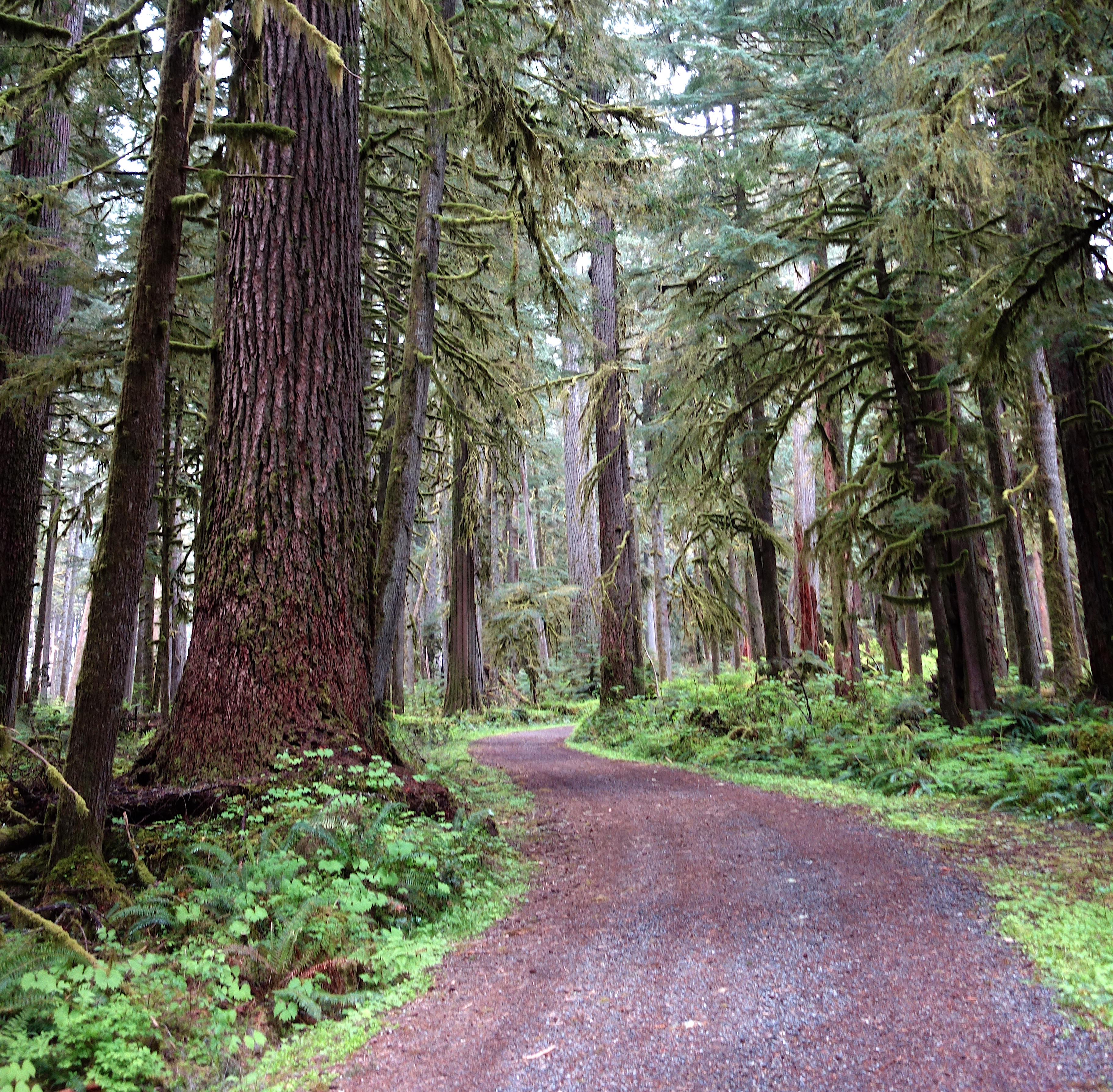
Located in the remote northwest corner of the park, Carbon River is home to temperate rainforest, Mount Rainier's lowest elevation glacier, and a dynamic river system. Hiking, bicycling, and camping opportunities abound.
Yellowstone National Park
West Yellowstone VIC Backcountry Office
- Type: Place

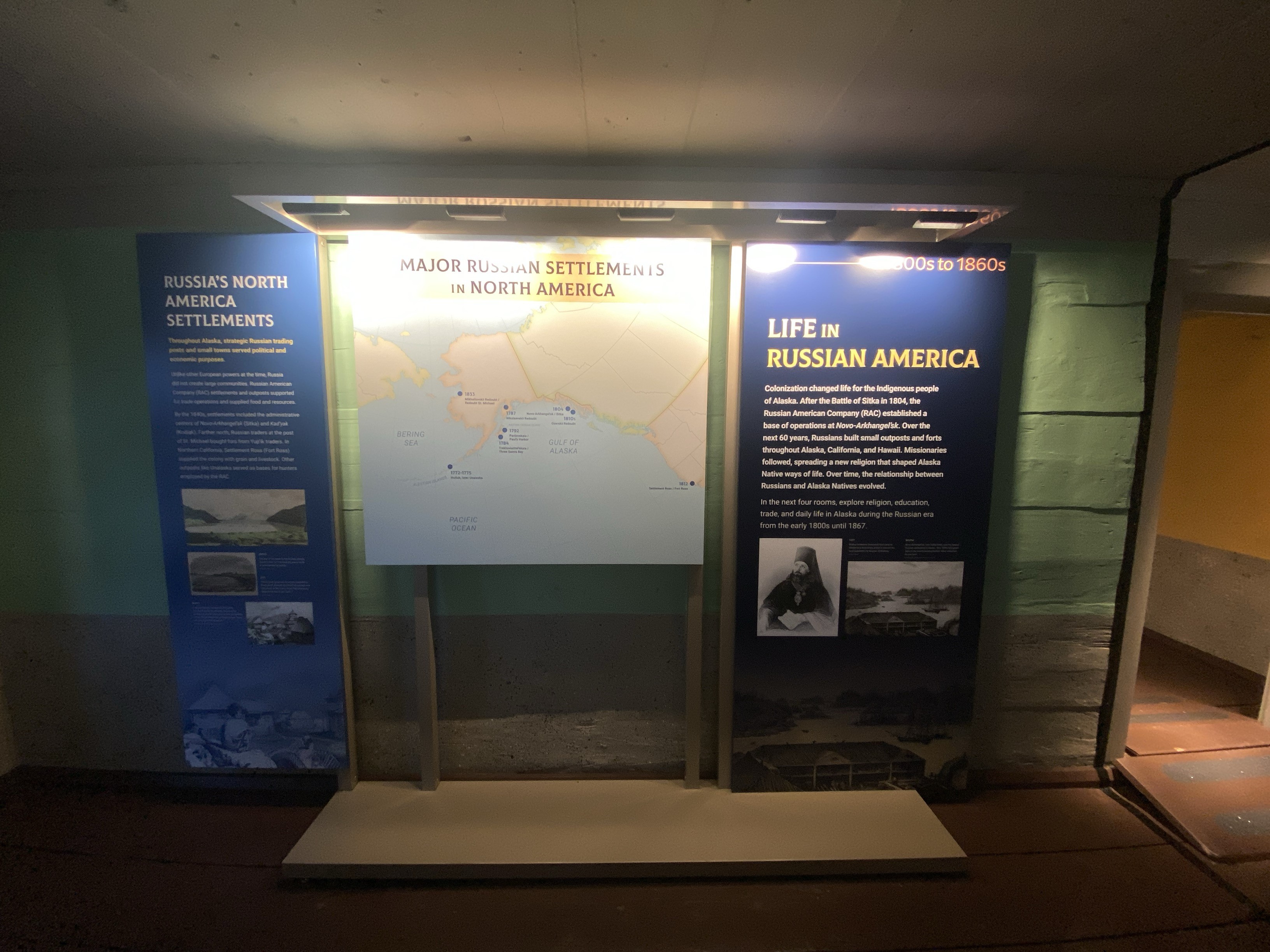
Sitka National Historical Park
The Places of Russian America Exhibit
- Type: Place
Boston African American National Historic Site
William H. Jenkins
- Type: Person
An affluent landowner, William Jenkins provided shelter to freedom seekers heading north on the Underground Railroad on his estate north of Boston in Andover, Massachusetts.
Grand Canyon National Park
Bright Angel Trail
- Type: Place

Bright Angel Trail lets hikers walk in the footsteps of the canyon's Indigenous Peoples, miners, and early tourists, as they descend into the canyon's depths. Offering big views, morning and afternoon shade, resthouses, vault toilets, and water stations during the summer. As of April 13, 2025, the water is ON at 1.5- and 3-mile resthouses and Havasupai Gardens. Portions of Bright Angel Trail are closed for waterline construction, Visit the link for a list of trail closures.
Hawaiʻi Volcanoes National Park
Eruption Viewing from Uēkahuna
- Type: Place
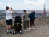
The overlook at Uēkahuna offers great views into Halemaʻumaʻu crater and surrounding areas from the summit of Kīlauea volcano. Located at the end of Crater Rim Drive West, a 2.8 mile (7 minute) drive from the entrance station. Family-friendly location with ranger's on-site for information. More available parking compared to other locations.
Hawaiʻi Volcanoes National Park
Eruption Viewing from Kūpinaʻi Pali
- Type: Place

Escape the crowds and experience the eruption in solitude. This vantage point offers stunning wide-angle views of the caldera, being the furthest overlook from the eruption. Located at the end of Crater Rim Drive West, a 0.3 miles (2 minute) drive from the entrance station. Parking available near the closed Kīlauea Visitor Center. Hike 0.5 miles (20 minutes) towards Volcano House hotel and southeast on Crater Rim Trail.
Hawaiʻi Volcanoes National Park
Eruption Viewing near Keanakākoʻi Overlook
- Type: Place

Eruption viewing from the overlooks near Keanakākoʻi offers close-up views but requires planning. Parking is extremely limited between 5 p.m. and 9 p.m., so it's best to visit outside these hours. Have a Plan B if parking is full. The site requires a 2-mile round-trip hike (about 1 hour) from Devastation parking area. Additional parking at Puʻupuaʻi Overlook an additional 0.5 miles.
Hawaiʻi Volcanoes National Park
Eruption Viewing from Wahinekapu
- Type: Place

Experience the heat from nearby steam vents as you take in the breathtaking views of the eruption, with unobstructed, panoramic views of the entire cinder cone. Located on Crater Rim Drive West, 1 mile (4 minutes) from entrance station. A popular, but congested spot due to being the first overlook you encounter upon entering the park.
Hawaiʻi Volcanoes National Park
Eruption Viewing from Kīlauea Overlook (Kapalikapuokamohoaliʻi)
- Type: Place

Kīlauea Overlook offers unobstructed views of the bottom of the Halemaʻumaʻu crater during an eruption. Located 2.5 miles (7 minutes) from the entrance station. Family-friendly location with great views. A short 0.4 miles walk from the overlook at Uēkahuna.
Acadia National Park
Flying Mountain Trailhead
- Type: Place

The Flying Mountain Trailhead is located north of Southwest Harbor, ME off State Route 102 via Fernald Point Road. It directly serves Flying Mountain and Valley Cove Trails with connections to Valley Peak Trail and Saint Sauveur Mountain Trail.
Grand Canyon National Park
North Kaibab Trail
- Type: Place

North Kaibab Trail is the least visited and most difficult of the major inner canyon corridor trails. It is challenging for day hikers as well as rim-to-rim hikers. Water at the North Kaibab TRAILHEAD water has been shut off for the winter and is expected to be turned back on May 15, when the roads open. Always carry a way to filter or treat creek water, in the event the water stations at Manzanita and Cottonwood Campground are not working.
Grand Canyon National Park
Tusayan Pueblo Site and Self-guiding Trail
- Type: Place

The pueblo site and self-guiding trail are open Thursday through Friday, from 9 am to 4 pm. Located 3 miles (4.8km) west of Desert View Watchtower, the site is a small Ancestral Puebloan village showing the outlines of rooms and a round kiva. Visitors can walk a relatively flat 0.1 mile (200 m) self-guiding trail around the site. Visit the Native American Artisan Market with authentic and beautiful arts and crafts for sale. The adjacent museum is CLOSED until further notice.
- Type: Place
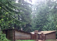
The Corps reached the Pacific Ocean over a year and a half after departing from Camp Wood, and settled in for the 1805-06 winter. They built Fort Clatsop, a reconstruction of which is found at its original site, located in Astoria, Oregon. The Corp's presence in this area strengthened the United States's claim to the Northwest. It also paved the way for the first American settlement--the Pacific Fur Company Post, established in 1811 by John Jacob Astor.
Sleeping Bear Dunes National Lakeshore
Philip A. Hart Visitor Center
- Type: Place

The Philip A. Hart Visitor Center houses brochures, books, park passes, and all the sound advice you'll need to plan your visit. The visitor center has displays of Sleeping Bear Dune's natural history, fauna and flora, geology, history, and stories about people of the park.
Cuyahoga Valley National Park
Ledges Overlook
- Type: Place

The Ledges Overlook provides an expansive view of the Cuyahoga Valley. From here, visitors can appreciate how the park protects a large tract of natural open space between the cities of Akron and Cleveland. The scenery is stunning in any season.