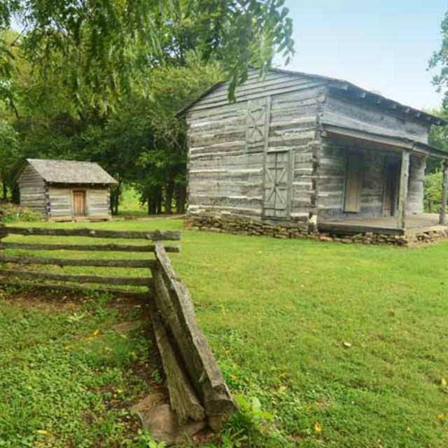
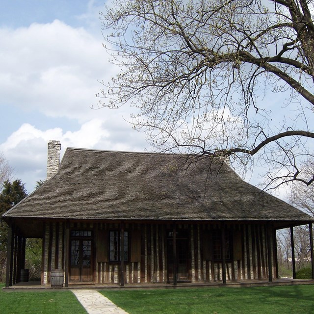
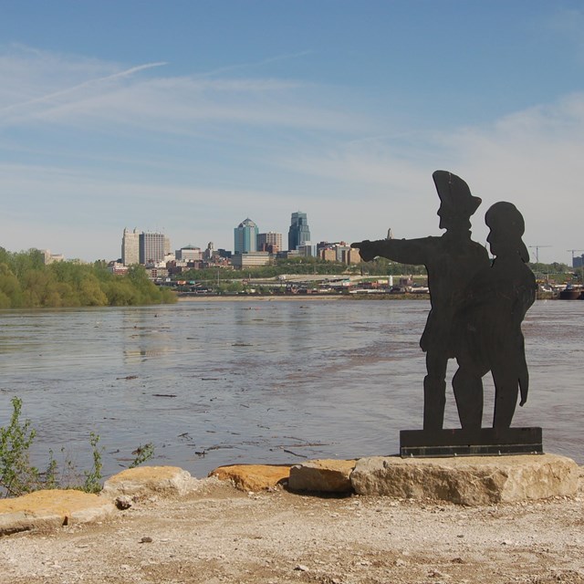
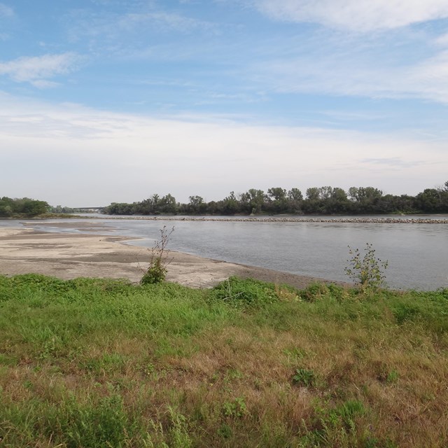
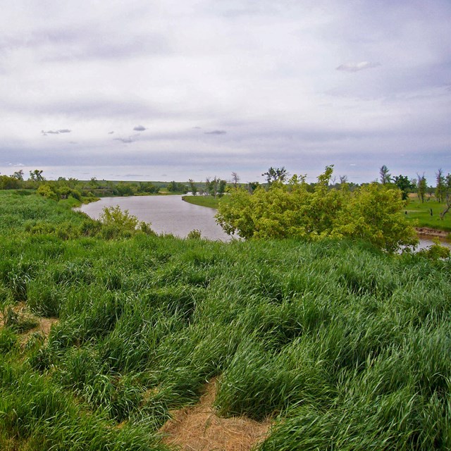
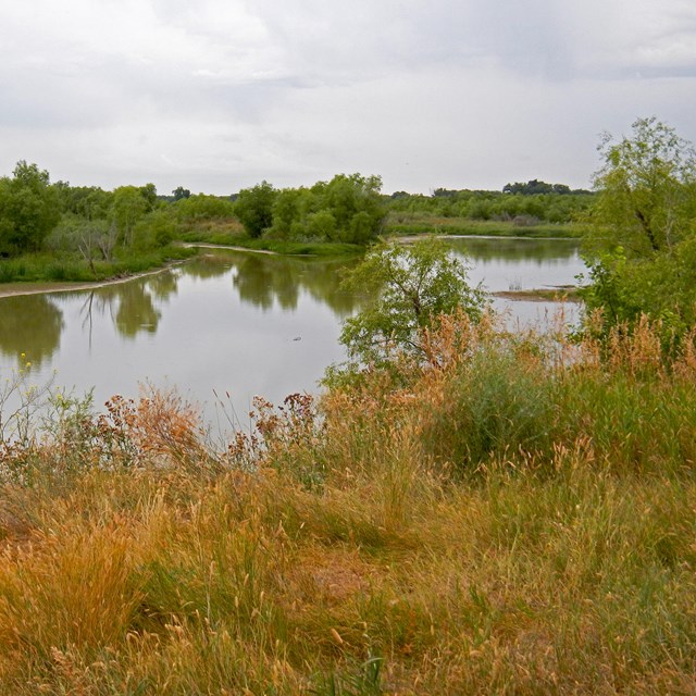
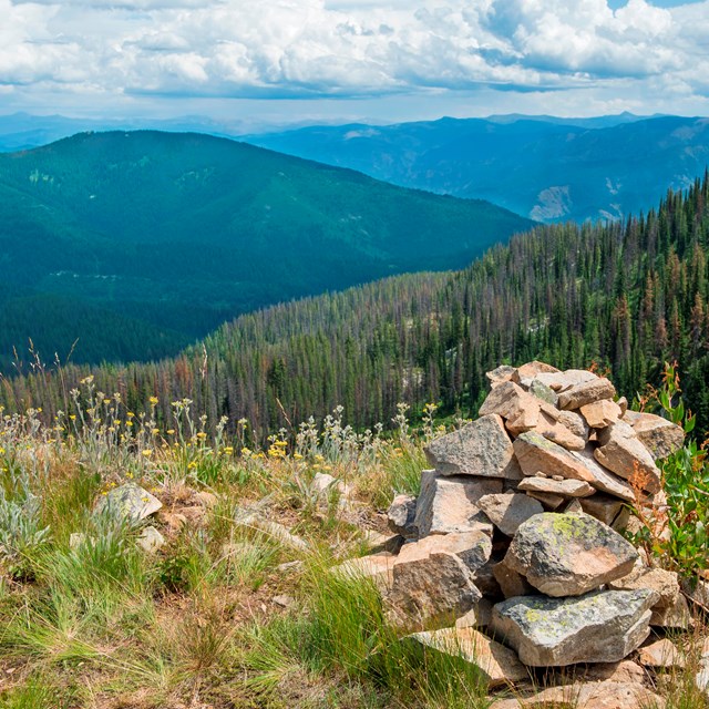
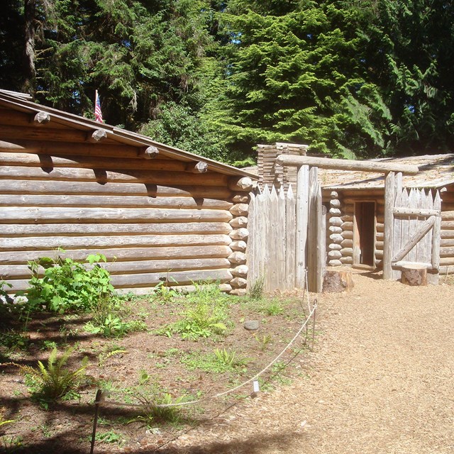
![]() NPS photo Today you can still experience the Trail as the Corps did. Hike Idaho’s Bitterroot Mountains and follow the centuries’ old footsteps of the Salish, the Nez Perce, and the Corps of Discovery. Explore meadows and forests on horseback. Raft the roiling whitewater of the Missouri River in Montana or canoe a tranquil stretch in South Dakota, home of the Yankton Sioux. You can also enjoy activities never imagined by the Corps. Bicycle along a rugged path or an endless blacktop. In winter, discover the Trail on skis or snowshoes. Travel by car or bus to see in days what that Lewis and Clark required months to explore. State by State GuideLewis and Clark NHT Visitor Centers and MuseumsThis map shows a range of features associated with the Lewis and Clark National Historic Trail, which commemorates the 1803-1806 Lewis and Clark Expedition. The trail spans a large portion of the North American continent, from the Ohio River in Pittsburgh, Pennsylvania, to the mouth of the Columbia River in Oregon. The trail is comprised of the historic route of the Lewis and Clark Expedition, an auto tour route, high potential historic sites (shown in black), visitor centers (shown in orange), and pivotal places (shown in green). These features can be selected on the map to reveal additional information. Also shown is a base map displaying state boundaries, cities, rivers, and highways. The map conveys how a significant area of the North American continent was traversed by the Lewis and Clark Expedition and indicates the many places where visitors can learn about their journey and experience the landscape through which they traveled. |
![]() |
![]() |
Last updated: January 18, 2022