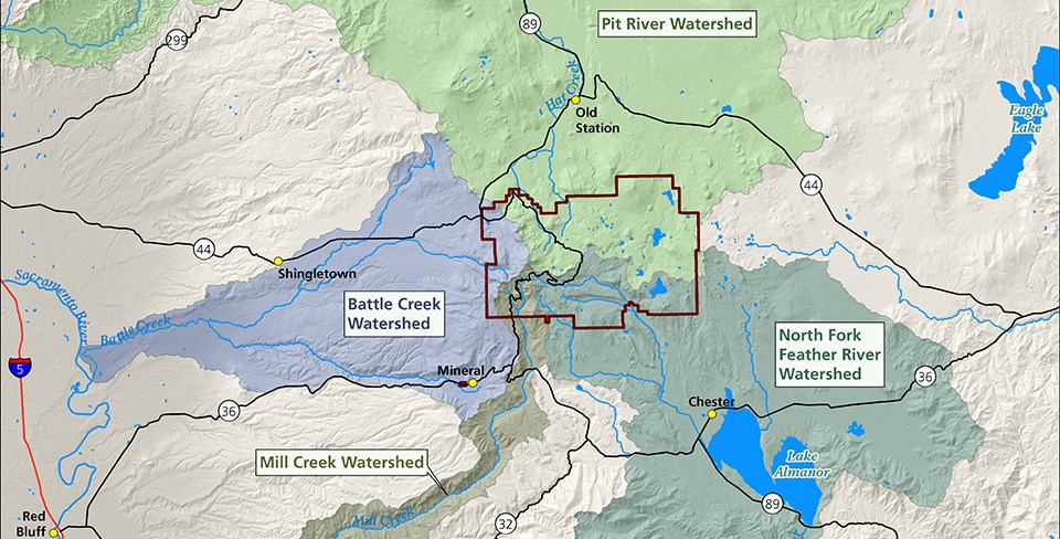
WatershedsLassen Volcanic's mountains, lakes, streams, and meadows are all parts of a watershed or an area of land that is connected by the water that flows over it. Rain and melted snow travel downward within a watershed until it is captured, absorbed, or empties into the sea. Working Together for Watershed HealthLassen Volcanic is one of numerous organizations that are working together to improve watershed health and resilience. The quantity and quality of water from Sierra Nevada headwaters is threatened by overcrowded forests, degraded meadows, and a changing climate. Less crowded forests consume less and allow a deeper snowpack to develop. Unhealthy forests can result in increased flooding and landslides as well as a reduction in water quality and reservoir capacity. Sierra Nevada Conservancy works though the Sierra Nevada Watershed Improvement Program (WIP), an initiative that takes a holistic approach to watershed and community resilience, to address some of the most pressing issues facing California. 
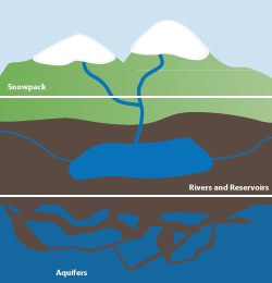
Snowpack: Water When We Need it MostSnowpack from the Sierra Nevada and Cascade ranges provide more than one-third of California's water. Snow, ice, and ground springs slowly release water that replenishes rivers, reservoirs, and aquifers in dry summer months. |
Last updated: December 21, 2024
