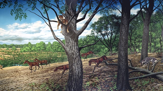
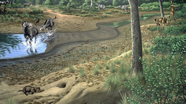
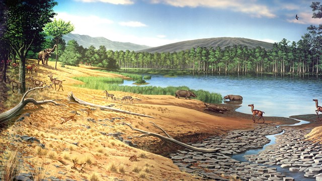
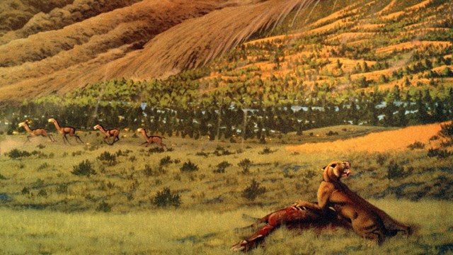
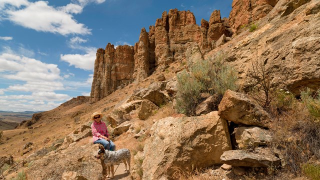
![]() NPS Photo by Tim Gohrke, 2018 Artist-in-Residence The Sheep Rock Unit is located on Highway 19, between the towns of Kimberly and Dayville, Oregon. Prominant, non-fossil bearing rocks date back as far as 95 million years old. Fossils of plants and animals are found in a number of geological layers dating from 33-7 million years ago. Unit Features:
![]() NPS Photo Colorful Strata
The predominant exposures of green rock seen on Sheep Rock are a multitude of reworked layers of volcanic ash. The rich green color of the claystone was caused by chemical weathering of a mineral called celadonite. This happened millions of years ago as water moved through the alkaline ash beds under high pressure. ![]() NPS Photo There are seven hiking trails in the Sheep Rock Unit, ranging from 0.25 miles to 3.25 miles in length. The trails are listed from north to south, arranged by trailhead. Foree TrailheadFlood of Fire (0.4 miles round trip) This gravel trail ascends a small ridge to a viewpoint overlooking the John Day River Valley and a colorful rock formation similar to Cathedral Rock. Story in Stone (0.3 miles round trip) This trail skirts above a small basin of blue-green claystone. The formation contains fossils of animals that lived here 25 to 30 million years ago. This mostly level trail is partially paved. Blue Basin TrailheadIsland in Time (1.3 miles round trip) This gravel trail ascends to an amphitheater carved out of the blue-green claystones of the John Day Formation. The volcanic ash, now turned to stone, contains a rich variety of vertebrate fossils. Interpretive signs and fossil replicas are located along the trail. Blue Basin Overlook (3.25 mile loop) This trail brings you to a spectacular vista overlooking the John Day River Valley. It is dusty in places and may be impassable in wet weather. Moderate to strenuous with over 600 ft. elevation gain (and loss.) James Cant Ranch Historic DistrictRiver Trail (0.6 miles round trip) This packed gravel and mostly level trail leads to the John Day River from the Cant Ranch parking lot. Sheep Rock Overlook Trail (0.5 miles round trip) Starting at the front gate to the Cant House, this trail ends at an overlook with a great view of the valley and the river. Thomas Condon Paleontology and Visitor CenterThomas Condon Overlook Trail (¼ mile round trip) This trail ends at an overlook with a great view of the valley. It begins at the south end of the parking lot. Mascall OverlookMascall Formation Overlook (430 feet round trip) Sweeping views of the John Day Valley and Picture Gorge can be seen from the overlook. Fossil Layers of the Sheep Rock Unit![]() Turtle Cove (30-25 Ma)Turtle Cove is the thickest and most productive fossil-bearing layer within the John Day Fossil Beds, yet few leaf fossils were preserved. ![]() Upper John Day (24-20 Ma)The ecosystem became an open habitat with the appearance of burrowing and running animals. ![]() Mascall (15 Ma)Long-legged hoofed animals including horses, camels, and giraffe-deer swiftly crossed open meadows to escape beardogs and cats. ![]() Rattlesnake (7 Ma)The ecosystem preserved here is more familiar to modern eyes- except for the occasional elephant and giant sloth. Other Places to Visit in the Monument![]() Clarno UnitThe Clarno Unit is home to the oldest exposed layers of the John Day Fossil Beds, and the only place in the monument to see "wild" fossils. ![]() Painted Hills UnitThe colorful stripes and gentle ripples of the Painted Hills makes it one of the most popular destinations in the park. ![]() Thomas Condon Paleontology CenterThe Thomas Condon Paleontology and Visitor Center displays fossils from the entirety of the John Day Fossil Beds. |
Last updated: May 15, 2020