|
Looking for more maps? Check out our Maps page! The directions listed on this page are for the park’s visitor center, located within the Square Tower Group. From the visitor center, the Square Tower Group structures and the campground are easy to access. Park Address:Hovenweep National Monument is scattered across a 20-mile span along the southeast Utah and southwest Colorado border. The closest town is Aneth, UT, approximately 18 miles southeast of the park visitor center. Physical Address:Hovenweep National Monument Visitor Center 
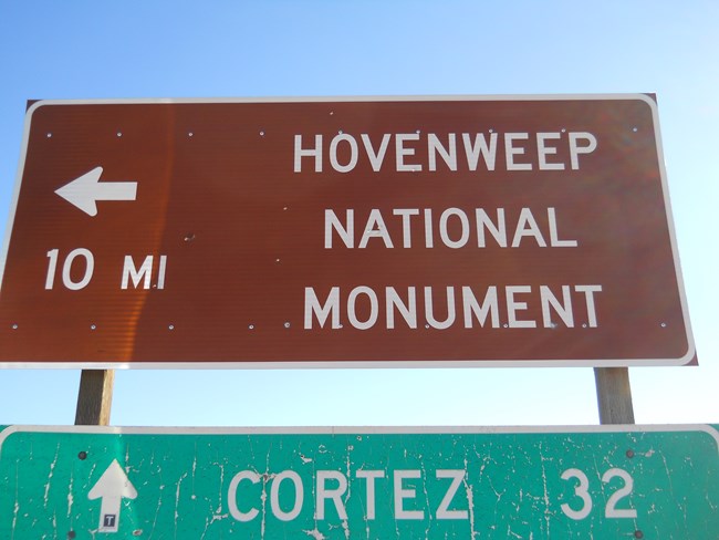
NPs photo WayfindingGPSWe do not recommend using GPS to find your way. Often, GPS unexpectedly leads visitors to one of the outlying units or down dirt roads. Cell service may be spotty or not available along your route. Please be cautious if using a GPS unit or other navigation device. NPS AppThe NPS app (available for Android or Apple OS) allows you to download parks for offline use. The park information includes a park map showing the visitor center. If you are using the NPS app, we recommend saving Hovenweep National Monument for offline use. Road SignsThere are directional road signs at each of the major turns along the route to Hovenweep. Look for the brown signs with Hovenweep on them to help navigate. Other road signs, including road numbers of names, may change or may be named differently on different maps. Directions from Nearby Towns Click on the town to see the directions to Hovenweep's visitor center.
North (via Pleasant View, CO)
South (via McElmo Canyon)
Commercial / Public TransportationBy BusCommercial bus and van shuttles service nearby towns, but they do not travel directly to Hovenweep. By PlaneCommercial airlines serve Cortez, Durango, and Grand Junction, Colorado; Salt Lake City and Moab, Utah; and Albuquerque, New Mexico; as well as other cities in the Four Corners area. Public TransportationThere is no public transportation to or within Hovenweep. |
Last updated: April 18, 2025
