Directions & Transportation

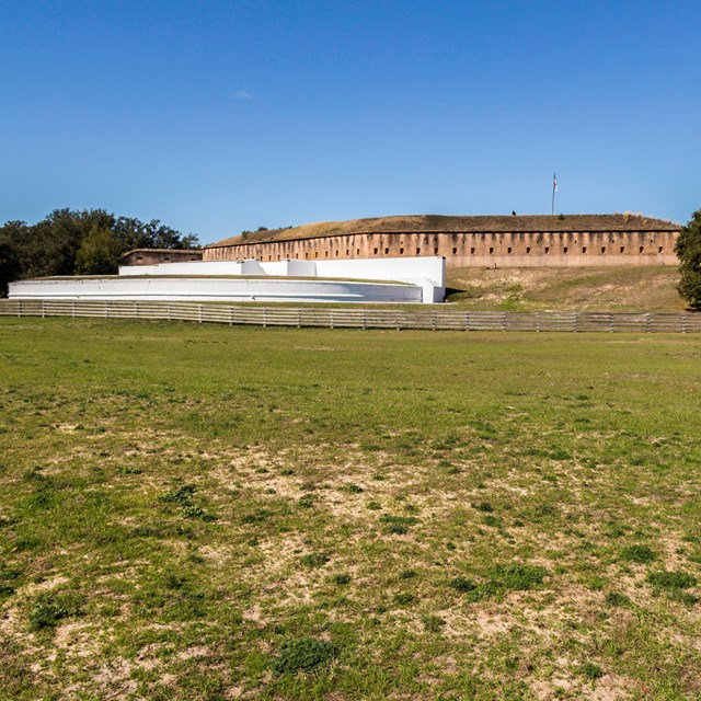
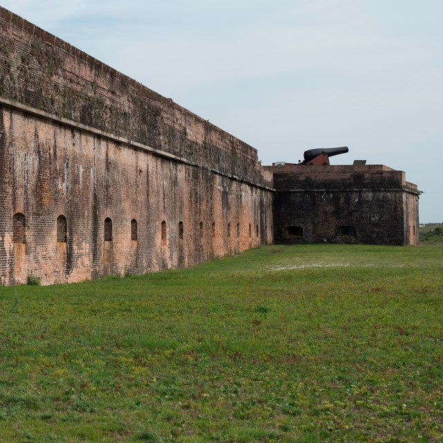
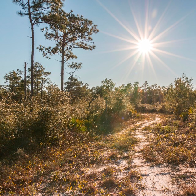
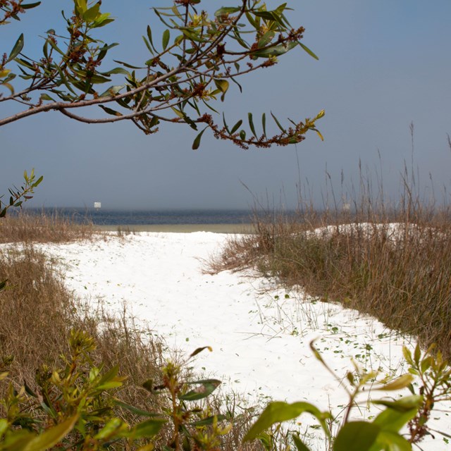
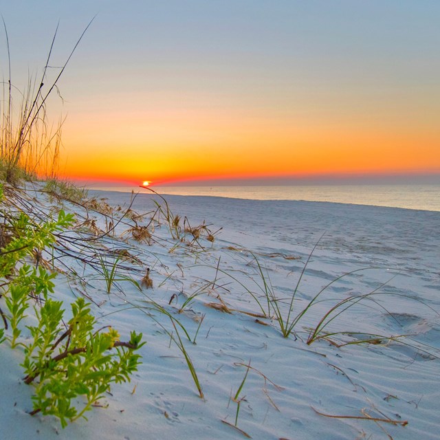
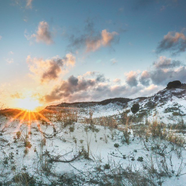
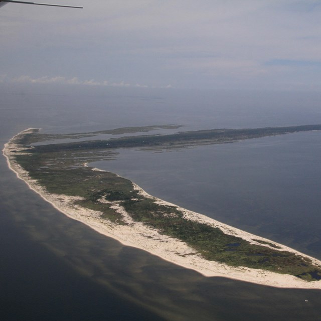
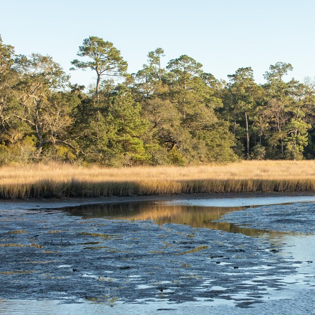
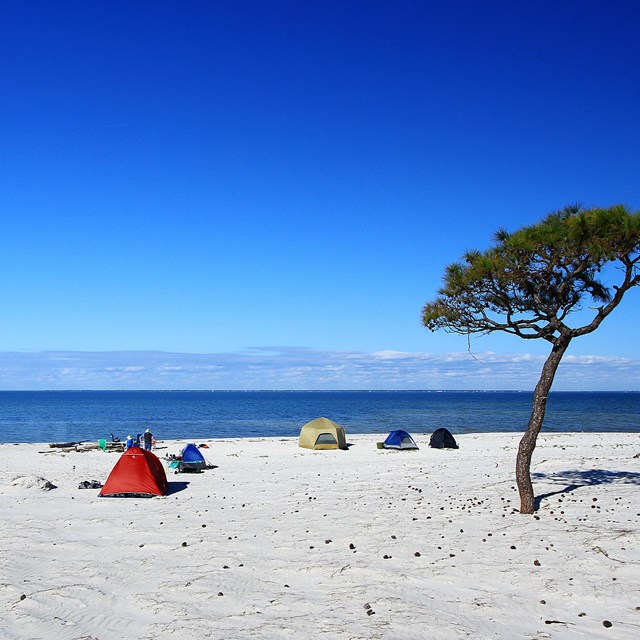
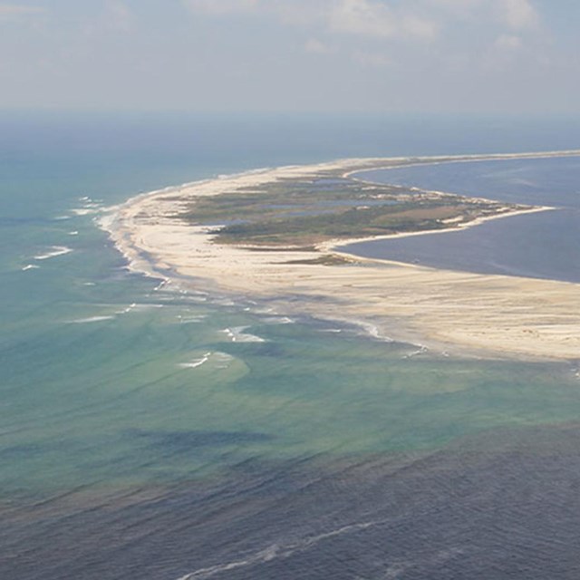
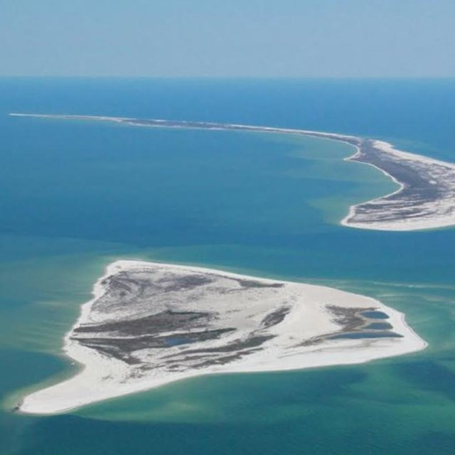
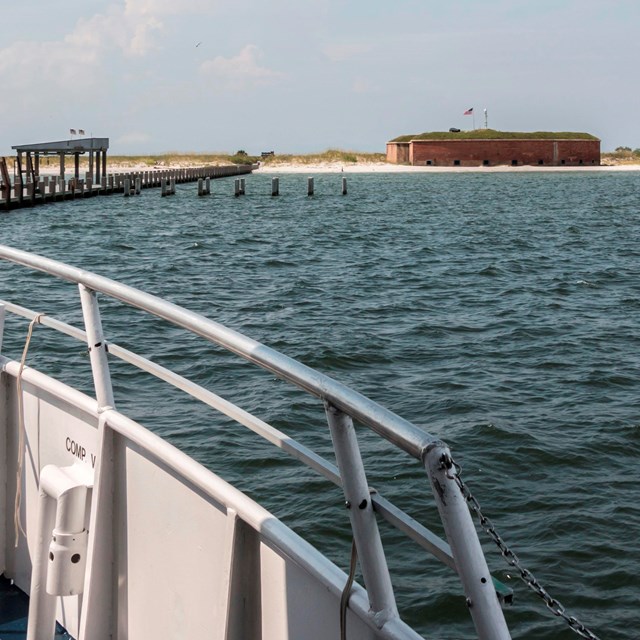
Gulf Islands National Seashore is America's largest national seashore, stretching 160 miles from east to west. The park is located in Florida and Mississippi, featuring 12 unique areas and islands. Each area offers diverse visitor experiences including recreation, historic fort tours, and wildlife viewing opportunities.

Find local transporation or click on specific area for directions.


Head to Florida Areas


Head to mississippi areas

  • Aerial image of Cat Island
    Cat Island

    The western most island of the national seashore off the coast of Mississippi.

  • A bayou extents in the background through trees in the foreground.
    Davis Bayou Area

    Explore the marshes and woodland areas of the Mississippi gulf shore.

  • Tents set up along a white sand beach, a solitary tree stands near the tents.
    Horn Island

    Located off the Mississippi coast, one of the best wilderness islands in the country.

  • An aerial image of Petit Bois Island.
    Petit Bois Island

    A wilderness island in the Gulf of Mexico just off the coast of Mississippi.

  • A digital graphic of islands part of the national seashore.
    West Petit Bois Island

    A small sand island near the Horn Island Pass off the Mississippi coast.

  • A ship approaches Ship Island, a historic fort stands on the island in a distance.
    Ship Island

    Located 12 miles off the Mississippi coast featuring a swim beach and historic fort.

Last updated: August 29, 2022

Park footer

Contact Info

Mailing Address:

1801 Gulf Breeze Parkway
Gulf Breeze, FL 32563

Contact Us