Glacier Repeat Photos

A man stands on a cliff with a camera.
Morton J. Elrod photographing Chaney Glacier in 1911.

The United States Geological Survey (USGS) started the Repeat Photography Project in 1997 with a systematic search of Glacier's archives for historic photographs of glaciers in the park. They found many images to work with from early photographers such as Morton Elrod, T.J. Hileman, Ted Marble, F.E. Matthes, and others who scoured the park to publicize its beauty and earn their livings. The USGS scientists then hiked the historic images into the field to rephotograph them from the exact same vantage point.

Historically and today, photographing the glaciers can only occur in a narrow window in late August and early September after the previous winter's snow has melted from the ice and before the first snows of autumn. It is only in the late summer season that the glaciers can be clearly seen.
 

Grinnell Glacier 1910 and 2016

A mountainous glacier. A mountainous glacier.

Left image
Morton J. Elrod, K. Ross Toole Archives, 1910

Right image
Lisa McKeon, USGS, 2016

In 1910, Morton Elrod documented how Grinnell Glacier’s mass filled the basin and how the glacier was then joined with the ice apron we now call the Salamander (right). Close inspection of Gem Glacier (top-center) reveals a loss of thickness and volume over the years as well. 


Jackson Glacier 1911 and 2009

A mountainous glacier. A mountainous glacier.

Left image
Morton J. Elrod, K. Ross Toole Archives, 1911

Right image
Lisa McKeon, USGS, 2009

Although melting glaciers are the most visible indicators of climate change in the mountains, the entire mountain ecosystem is responding. Using both repeat photography and tree-ring studies, scientists have documented that trees are growing faster, becoming taller and filling in the spaces in between trees. Young seedlings have established and are surviving in areas where deep snowpack and harsh weather conditions had previously excluded them. How do you think this vegetation change will impact wildlife?


Blackfoot and Jackson Glacier 1914 and 2009

A mountainous glacier. A mountainous glacier.

Left image
E. C. Stebinger, GNP Archives, 1914

Right image
Lisa McKeon, USGS, 2009

Jackson Glacier was once part of Blackfoot Glacier, one of the largest glaciers in the park. By 1939 the expanse of Blackfoot Glacier had receded and separated into two distinct basins, giving rise to the separate names of Jackson and Blackfoot glaciers. Along with the glacial recession evident from this pair, can you pick out another big change? 


Boulder Glacier 1932 and 1988

A glacier with people standing on and around it. A glacier with people standing on and around it.

Left image
George Grant, GNP Archives, 1932

Right image
Jerry DeSanto, K. Ross Toole Archives, 1988

This is one of the earliest photographs repeated from the park that shows the disappearance of glacial ice. It helped to start the current Repeat Photography Project. The 1932 photograph shows a guide, wearing chaps, and three clients next to the ice cave. This was one of the popular multiday routes during the heyday of horseback trips through the park and underscores the charisma that glaciers had for early park visitors. Boulder is now too small to be considered active. 


Sperry Glacier 1930 and 2008

A mountainous glacier. A mountainous glacier.

Left image
Morton J. Elrod, K. Ross Toole Archives, 1930

Right image
Lisa McKeon, USGS, 2008

Repeating Elrod’s 1930 photograph from the exact spot was impossible since it was shot from the elevated surface of the now receded glacier. The terminus of the glacier has retreated beyond the field of view, but these images give a sense of the glacier’s extent and mass early in the twentieth century. Sperry Glacier is a benchmark glacier for USGS scientists. Scientists use its measurements of annual change as a baseline to compare with other glaciers and to predict future changes.


Shepard Glacier 1911 and 2005

A mountainous glacier. A mountainous glacier.

Left image
Campbell, USGS, 1911

Right image
Blase Reardon, USGS, 2005

Shepard Glacier is now less than 25 acres in size and is therefore no longer considered an active glacier. As the park's glaciers melt, the effects will be felt far downstream. Glaciers store about 70% of the world’s freshwater. They regulate stream temperatures and maintain stream flow during late summer and drought periods when other sources are depleted. Without glacial meltwater, summer water temperatures will increase and may stress temperature sensitive species, such as aquatic insects and native trout.


Thunderbird Glacier 1907 and 2007

A mountainous glacier. A mountainous glacier.

Left image
Morton J. Elrod, GNP Archives, 1907

Right image
Dan Fagre, USGS, 2007

Acquiring the 2007 photograph of Thunderbird involved some serious scrambling on cliffs and made USGS scientists admire Morton J. Elrod, the original photographer, who carried much heavier and bulkier gear over the same terrain. Using arial imagery, scientists know that Thunderbird melted from 33 acres in 1966 to 26 in 2015, a loss of 21%, putting it very close to the inactive cutoff of 25 acres. 


Grinnell Glacier 1926 and 2008

A glacier with people standing on and around it. A glacier with people standing on and around it.

Left image
Morton J. Elrod, K. Ross Toole Archives, 1926

Right image
Lisa McKeon, USGS, 2008

What makes a good photo to re-photograph? The large boulder in front of Grinnell Glacier was used by Morton J. Elrod and other scientists as a baseline to measure the retreat of the glacier. The boulder is now referred to as “Elrod’s Rock” and the glacier has retreated a half mile from this point. Grinnell Glacier was and still is one of the most photographed glaciers in the park. In the early 1900s, park visitors were able to hike or horseback ride eight miles up the Many Glacier Valley to see this glacier. Today, this is a strenuous, but still popular hike once the snow has melted from the trail in late summer.


Grinnell Glacier 1911 and 2008

A mountainous glacier. A mountainous glacier.

Left image
T. W. Stanton, USGS, 1911

Right image
Lisa McKeon, USGS, 2008

George Bird Grinnell described this wall of ice as being 1,000 feet high in 1887. As of 2008, the wall of ice was gone and Grinnell Glacier is no longer visible in the contemporary photograph. Salamander Glacier, now separate, lies along the wall below the ridgeline. Perched on the upper left wall is the small, rounded Gem Glacier. Although its area has remained stable, the glacier is losing volume.

Do all glaciers melt at the same rate? No, variations in snow avalanches, ice flow dynamics, and ice thickness cause some glaciers to shrink faster than others, but one thing is consistent: all the glaciers have receded since 1966. The trend of retreat, apparent here at Glacier National Park, is also seen around the world.


Grinnell Glacier 1938 and 2016

A person stands on top of a glacier in a lake with mountains in the background. A person stands on top of a glacier in a lake with mountains in the background.

Left image
T. J. Hileman, GNP Archives, 1938

Right image
Dan Fagre, USGS, 2016

The person standing on top of Grinnell Glacier in the 1938 photograph taken by T.J. Hileman gives the viewer a sense of the huge scale. Repeating the historic image today, and including the person for scale, would require a boat. 


Grinnell Glacier 1910 and 2021

A mountainous glacier below a rocky mountain. A mountainous glacier below a rocky mountain.

Left image
Morton J. Elrod, K. Ross Toole Archives, 1910

Right image
Credit: NPS Image, August 29, 2021


Harrison Glacier 1913 and 2009

A mountainous glacier. A mountainous glacier.

Left image
Credit: W.C. Alden USGS, 1913

Right image
Credit: Ralph Thornton, 2009

While difficult to quantify, this photo pair of Harrison Glacier exemplifies the loss of glacier volume. Comparison of the ice profile in the foreground of the photos shows a marked thinning of the glacier over the years. Colorful layers of sedimentary bedrock are being exposed as the glacier recedes from the cliff bands.

 
A park ranger stands with their arms out in front of a glacier.
Overview of the Park's Glaciers

Here are the most frequently asked questions about Glacier National Park's glaciers.

People stand in front of a glacier below a mountain.
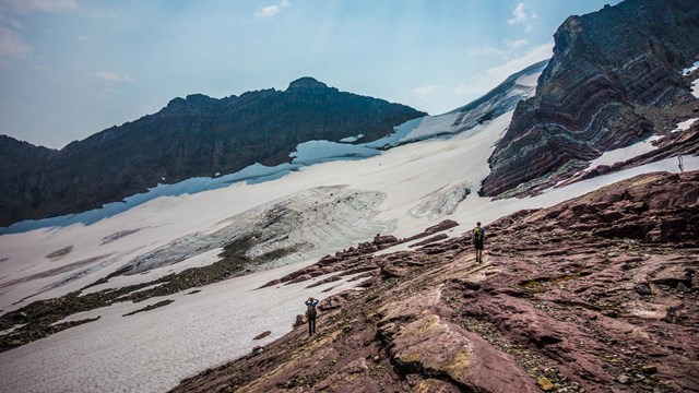
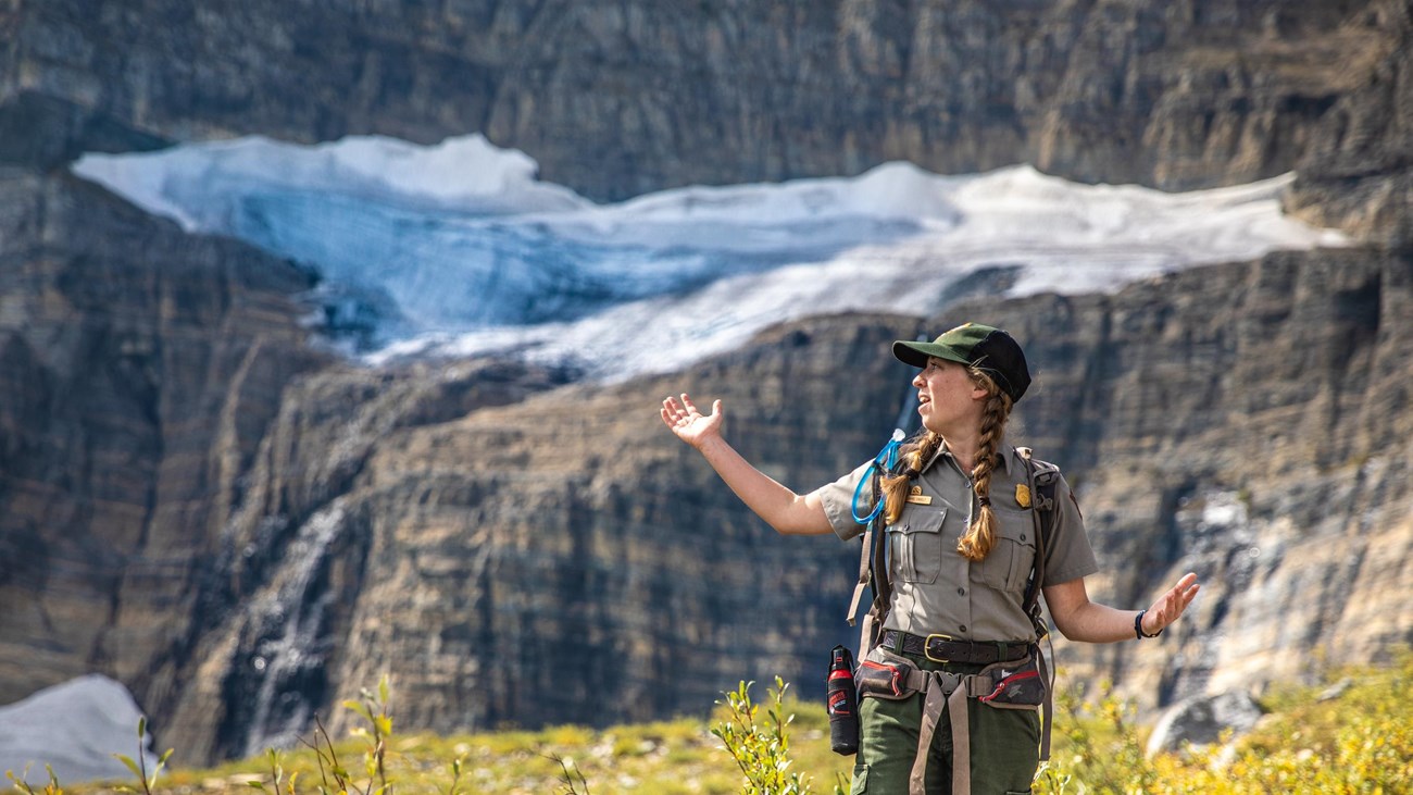
How to See a Glacier

With a little effort you can see a glacier with your own eyes here. Some are visible from the road and others require a day hike.

People walk around a bright lake with a glacier and mountains in the background.
Glacial Geology

Once you know what to look for, viewing Glacier's landscape can seem like reading a textbook on the geologic effects of glaciation.
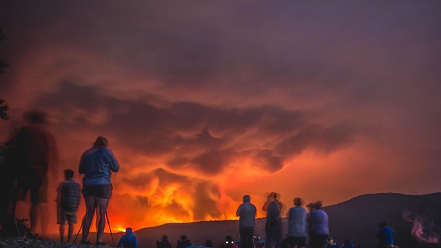
People stand on a beach and look at a wildfire.
Climate Change

Global warming is melting the park’s glaciers, increasing the severity and likelihood of wildfires, and shifting wildlife habitat.

People load onto a shuttle bus.
Reduce Your Carbon Footprint

Many people fall in love with Glacier and then want to reduce their footprint.
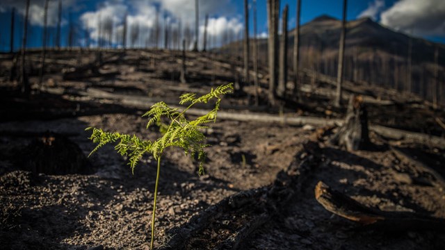
A green plant sprouts from ashes.
Sustainability

Learn about what Glacier National Park is doing to reduce carbon emissions.

Last updated: September 19, 2023

Park footer

Contact Info

Mailing Address:

PO Box 128
West Glacier, MT 59936

Phone:

406-888-7800

Contact Us