|
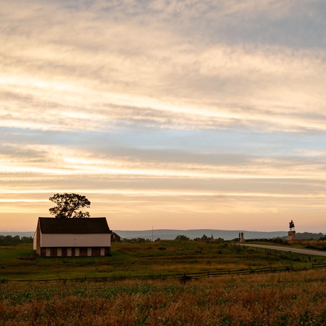
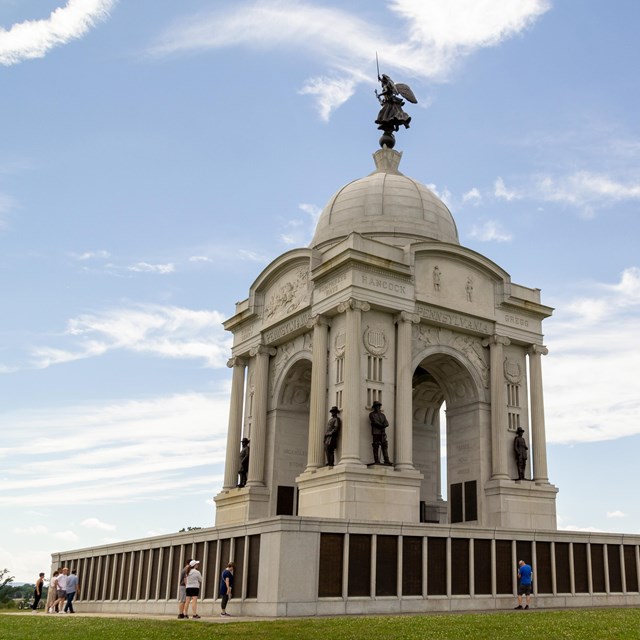
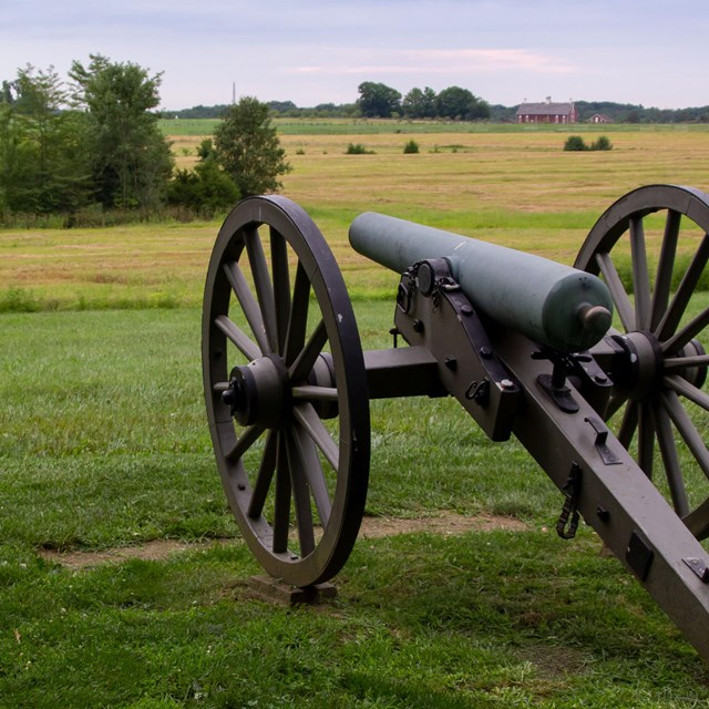
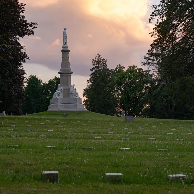
Gettysburg National Military Park extends over an area of 5,700 acres, much of it planted in fields and crops, extending between two low ridges: Seminary Ridge, held by Confederates during the battle, and Cemetery Ridge, held by Federals. The central part of the battle terrain is usually described as shaped like a fishhook: Cemetery Ridge forms the long shank of it. Curving back on the hook, just southeast of town, is Culp’s Hill, and at the southern end is a series of hills called the Round Tops. The battlefield encompasses a mostly open agricultural area of rolling hills, scattered woodlots, and groupings of farmsteads that are remnants the south-central Pennsylvania farming community that existed in the 1800s. Explore Places by Location
|
Last updated: May 20, 2025

