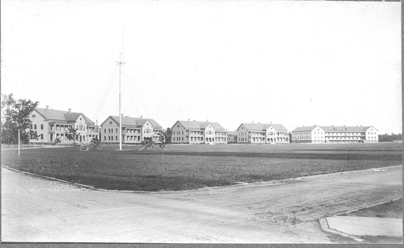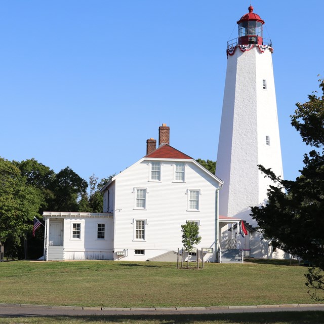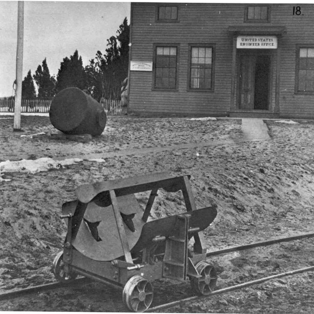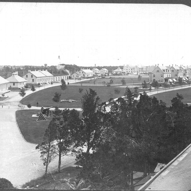
NPS ARCHIVES Small peninsula, rich in history For centuries, the safest way to sail into New York Harbor was by hugging the shore of Sandy Hook, where the water was deepest. This six mile peninsula had an outsize influence on the safety of the harbor and the defense of New York City. From its days as a British colony and outpost to the era of nuclear missiles, Sandy Hook lighted the paths of seafarers and protected New Yorkers from potential attack and invasion. Since the Federal government completed purchase of the entire peninsula in 1814, it was spared the commercial development that dominates much of the New Jersey coast. In 1982, the Sandy Hook peninsula was designated as the Fort Hancock and Sandy Hook Proving Ground National Historic Landmark.
Sandy Hook Places
Dig deeper Military history enthusiasts can check out the New York-Philadelphia Coastal Artillery system (1944), which included Sandy Hook. The file is very large and takes time to download. Study 1935 Army maps of all the forts which are now part of Gateway: Hancock, Wadsworth and Tilden. You can also find out more about Fort Hancock and Sandy Hook Proving Ground National Historic Landmark and read the national historic landmarks nomination for Fort Hancock and the Sandy Hook Proving Ground. The history of Highlands as a recreational beach resort overlaps areas which are now part of the national park. The impressive structures of Highlands Beach as a Jersey Shore destination exist today only in postcards. |
Last updated: December 23, 2020


