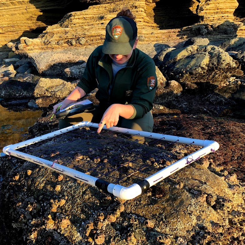
It’s a question the Natural Resources team received many times these last couple of weeks as they encountered visitors in the tidepools. Donning knee-high boots and carrying conspicuous tools, the team drew a lot of attention. They weren’t carrying nets, however. What visitors mistook as a net was actually a tool called a quadrat. Quadrats are squares made of PVC pipe, where purple strings across its length and width create a grid of 100 smaller squares inside, giving it a net-like appearance. Though a quadrat can’t catch fish or other aquatic critters, it can help us take a snapshot in time. The quadrat is set down on a certain spot on a rock or alongside a cliff face, and scientists record the plant or animal species present at each intersection of 2 strings, collecting a total of 100 data points.

NPS Photo/Nicole Ornelas – Ranger Alex shows off a quadrat.
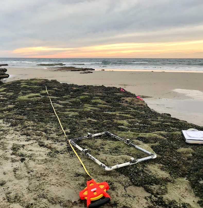
We also use a tool called a transect to collect similar data. A transect is a simple tape measure laid out in a straight line for 10 meters. Scientists record the species present at every 10 centimeters, again for a total of 100 data points. After conducting transect and quadrat measurements, we can use statistics to estimate population sizes and overall biodiversity.
Both of these processes are important parts of tidepool monitoring, which has been going on at Cabrillo National Monument since 1990. Scientists return to the same spots to collect their data each year, with multiple spots throughout all three zones of the Cabrillo tidepools. Collecting this data long-term allows us to see trends over time, determine a baseline “normal,” and detect early warning signs of species decline. Furthermore, we can quantify the impact of visitation by comparing the data between tidepool zone 1, which is open to the public, and zone 3, which is closed to the public.

NPS Photo/Nicole Ornelas – a transect at nearby Cardiff State Beach, which our Natural Resources team also monitors for site comparison.
While an inventory of all the species present is important, the locations of the transects and quadrats specifically target 13 species that play key ecological roles. These species include mussels (Mytilus californianus), owl limpets (Lottia gigantia), rockweed (Silvetia compressa), and seagrass (Phyllospadix scouleri). Overall, owl limpet density has increased and seagrass density has remained consistently high. Rockweed cover, however, has declined in recent years, and mussel populations plummeted before monitoring even began in 1990 and haven’t recovered since. The Natural Resources team will continue to monitor this fragile ecosystem, and investigate reasons for species decline, for years to come.

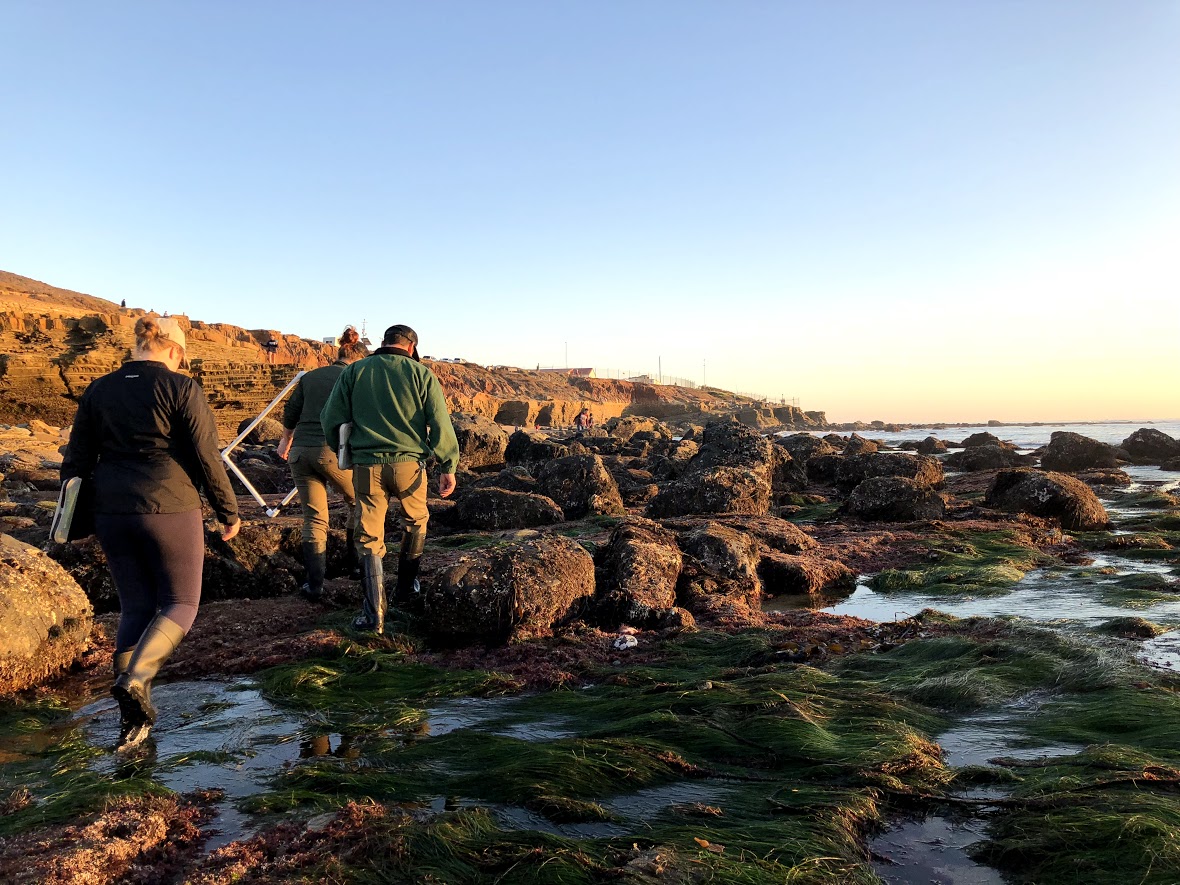
NPS Photo/Nicole Ornelas – with quadrats and clipboards in hand, members of the Natural Resources team heads out of the tidepools after a day of monitoring.
All of this data is submitted to the Multi-Agency Rocky Intertidal Network (MARINe) database. This database houses a collection of long-term data from sites up and down the Pacific West Coast. This database has been essential in helping scientists understand the impacts of things like El Niño events and the spread of disease. Visit the MARINe website at: www.pacificrockyintertidal.org
