|
Hiking in Bryce Canyon
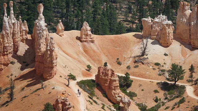
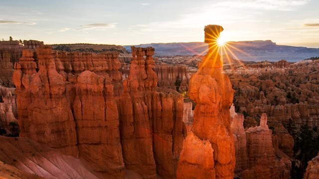
Bryce Canyon is best known for its hoodoos--intricately-carved rock spires left standing by erosion. Hoodoos are best experienced along our day hiking trails, which offer an up-close and intimate look at these unique rock formations. Most day hikes and their trailheads are found in the Bryce Canyon Amphitheater area.
By comparison, Bryce Canyon's backcountry trails offer forests and meadows, stunning views of distant cliffs, solitude, but fewer hoodoos.
Which trail is right for you? If it's your first visit, we recommend focusing on the main Amphitheater area, located along the first three miles of the main road. All trails offer a unique view of the beauty of this park, so we encourage you to plan your hikes based on the amount of time you have and your personal hiking abilities. Keep in mind Bryce Canyon is a high altitude park ranging from 8,000 feet (2438 m) to over 9,000 feet (2743 m) in elevation. Even mild exertion in the park can lead to altitude-sickness if you're not prepared. Visit our Hiking at High Altitudes page to learn more.
Easy Hikes
Hikes with elevation gains of 200 feet or less and shorter in length.
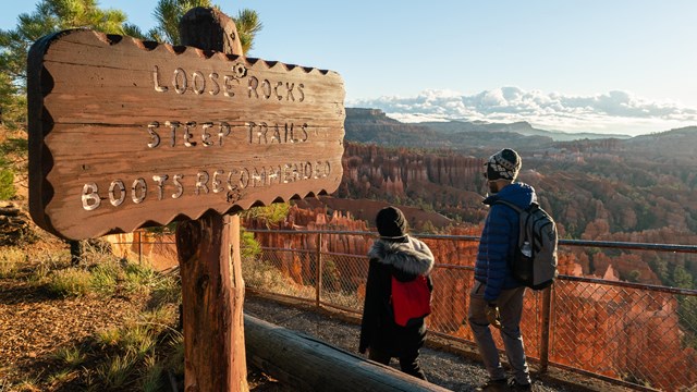
Moderate Hikes
Hikes with less than 1,000 feet of elevation gain and moderate lengths.
4+ Hour Hikes
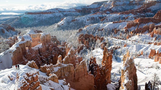
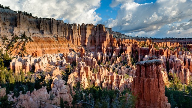
An overhead photo of a red rock filled canyon with clouds in the background
Pets are only allowed on paved trails and viewpoints, roads, campsites, and picnic areas. The 0.5 mi (0.8 km) section of Rim Trail between Sunset and Sunrise Points and the Shared-Use Bike Path are the only paved trails within this park.
Be a Good B.A.R.K. Ranger!
- Bag your pet’s poop: Help keep your national park clean by collecting and disposing of all pet waste. Garbage containers are located throughout the park.
- Always keep your pet on a leash: For the safety and comfort of all the park’s visitors, keep your pet dogs on a leash six feet or less in length.
- Respect wildlife: Bryce Canyon can be home to migrating birds, rabbits, lizards, snakes, and other wildlife. Please keep your dog at a respectful distance from any animals you may encounter.
- Know where you can go: Pets are only allowed on paved surfaces, including park roads and campgrounds, the Shared-use Path, paved viewpoints (all viewpoints except Piracy Point), and the 1/2 mile (0.8 km) section of Rim Trail between Sunset and Sunrise Points.Thank you for not leaving your pets unattended in your vehicle as heat poses a serious threat to pets.
Emotional Support Animals
Emotional Support Animals must follow the same regulations as pets. Only Service Animals recognized by the ADA are permitted to accompany hikers off pavement.
Dog owners looking for hoodoos and dog-friendly trails should consider visiting nearby Red Canyon, which is managed by the U.S. Forest Service.
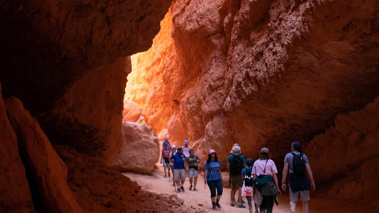
Many people visit National Parks each year and hiking is one of the most popular ways visitors choose to immerse themselves in nature. Proper hiking etiquette helps instill respect for other trail users, and it promotes stewardship of the land. The best thing you can do when hiking is to remember the “golden rule”: treat others the way you would want to be treated.
- Stay on trail: Don’t step off trail unless you absolutely must when yielding. Do not use "social" trails. These social trails contribute to plant death, aggressive erosion, and visitor/wildlife confrontations, including those with rattlesnakes.
- Do not climb the hoodoos: The rock at Bryce forms crumbly cliffs and steep gravely slopes. Hand and toe holds support nothing heavier than chipmunks. Climbing the rocks and sliding on the slopes is not only illegal but also dangerous.
- Keep noise levels down: Be respectful to other visitors and wildlife when hiking, keep noise levels low and refrain from playing music out loud.
- Do not feed or disturb wildlife: Animals that are fed by humans learn to frequent roadsides and parking lots, dramatically increasing their chances of being run over by a careless motorist. Fed animals also pose a threat to humans. Feeding rodents is especially dangerous because they can transmit diseases deadly to humans.
- Leave No Trace: Remember to dispose of waste properly, leave rocks, plants and other natural objects as you find them and follow all other Leave No Trace principles.
Nothing will ruin your trip faster than illness or injury. Be sure to stay safe by following these guidelines:
- Choose appropriate footwear: Wearing shoes or boots not designed for hiking is the number one cause of rescues and injuries that require hospital visits at Bryce Canyon National Park.Wear hiking boots with good ankle support and "lug" traction. Sport-sandals &"trainers" are not safe hiking footwear. In winter, traction devices are strongly recommended for all areas of the park.
- Weather: Lightning is a year-round danger –especially during summer storms! If you can hear thunder, lightning is within 10 miles (16 km) and you need to seek the shelter of a building or your vehicle immediately. Learn more about lightning safety.
- Dehydration and Over-exertion: Park elevations reach 9115 ft (2778 m) subjecting you to 70% of the oxygen you might be used to. Bryce's trails start with a descent which means all returns will be uphill. Turn back before you become tired. Know and respect your own physical limitations. Drink 1 quart / liter every 1-2 hours. A well hydrated body is better able to regulate body temperature and is more resistant to heat exhaustion. Sunburns also lead to dehydration. Wear a hat, sunscreen, and sunglasses to protect from the sun overhead and reflected UV light. Learn more about hiking at high altitudes.
Easy Hikes
| TRAIL NAME |
DISTANCE |
ELEV CHANGE |
DESCRIPTION |
Sunset to Sunrise
Sunset Point |
1.0 mi
1.6 km
1 hr |
40 ft/
12 m |
Paved portion of Rim Trail; easiest hike with views of the scenic Bryce Amphitheater. Pets are allowed on this easy walk. |
Rim Trail
Walk the rim of
the scenic Bryce
Amphitheater
(not a loop) |
1.0-11.0 mi
1.6-17.7km
1-7.5 hrs |
719 ft/
219 m
One-way Bryce to Fairyland |
View the hoodoos from above. Trail paved between Sunrise and Sunset Points. |
Bristlecone Loop
Rainbow Point or
Yovimpa Point |
1.0 mi
1.6 km
1 hr |
200 ft/
61 m |
Hike through spruce-fir forests with bristlecone pines and expansive vistas. |
Mossy Cave
North end of park, 4 mi East on Hwy 12 |
0.8 mi
1.3 km
1 hr |
150 ft/
46 m |
Streamside walk up to a mossy grotto that fills with spectacular icicles in winter, and dripping mosses in summer.
Note: This small trail has become extremely crowded; visitation is not recommended between 10 a.m. and 6 p.m.
Vehicles parking outside of the provided parking lot are subject to being ticketed or towed. |
Moderate Hikes
Strenuous Hikes
| TRAIL NAME |
DISTANCE |
ELEV CHANGE |
DESCRIPTION |
Queen’s Garden
Sunrise Point
(not a loop) |
1.8 mi
2.9 km
1-2 hrs |
450 ft/
137 m |
The least difficult trail that descends into the canyon. See Queen Victoria at the end of a short spur trail. |
Navajo Loop
Sunset Point
*Not a loop in winter |
1.3 mi
2.2 km
1-2 hrs |
515 ft/
157 m |
See Thor’s Hammer, Two Bridges, and the bottom of Wall Street on this short but steep trail. |
Queen’s/Navajo Combination Loop
Sunset / Sunrise Point
Most Popular Trail! |
2.9 mi
4.6 km
2-3 hrs |
625 ft/
191 m |
Combine Queen’s Garden & Navajo Loop to form a 2.9-mile loop. Clockwise direction recommended; use Two Bridges in winter. |
Tower Bridge
North of Sunrise Point
(Portion of the
Fairyland Loop) |
3.0 mi
4.8 km
2-3 hrs |
760 ft/
232 m |
See Bristlecone pines and the Chinese Wall. A shady 1/4-mile spur trail leads to the bridge. |
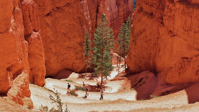
Swamp Canyon Loop
Swamp Canyon |
4.0 mi
6.4 km
3-4 hrs |
800 ft/
244 m |
A beautiful hike through a section of the park’s quiet backcountry. |
| TRAIL NAME |
DISTANCE |
ELEV CHANGE |
DESCRIPTION |
Hat Shop
Bryce Point
(not a loop) |
4.0 mi
6.4 km
3-4 hrs |
1380 ft/
421 m |
Descend the Under-the-Rim Trail to see a cluster of balanced-rock hoodoos. |
Fairyland Loop
Fairyland Point or
north of Sunrise Point |
8.0 mi
12.9 km
4-5 hrs |
1900 ft/
579 m |
See the Chinese Wall, Tower Bridge, and tall hoodoos on a picturesque, less crowded trail. |
Peekaboo Loop
Bryce Point |
5.5 mi
8.8 km
3-4 hrs |
1560 ft/
474 m |
Steep, spectacular hike through the heart of the park. See the Wall of Windows. Clockwise direction required. |
Navajo / Peekaboo Combination Loop
Sunset Point |
4.9 mi
7.8 km
3-4 hrs |
1475 ft/
450 m |
Combine Navajo and Peekaboo Loop Trails into a mini figure-8. Clockwise direction required on Peekaboo Loop. |
The Figure-8 Combination
Sunrise /
Sunset Point |
6.4 mi
10.2 km
4-5 hrs |
1575 ft/
480 m |
Combine Queen’s Garden, Peekaboo Loop, and Navajo Loop into one ultimate hike! Clockwise direction required on Peekaboo Loop. |
Bryce Amphitheater Traverse
Bryce Point |
4.7 mi
7.5 km
3-4 hrs |
1145 ft/
349 m |
Descend From Bryce Point. turn left (clockwise) on Peekaboo Loop, connect to Queen’s Garden and Ascend to Sunrise Point. Use shuttle or 3.2 mi Rim return. |
|


