
Goods & Services
Where to find everything from medical assistance to Wi-Fi. 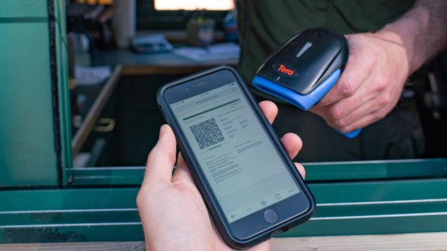
Fees & Passes
Learn about entrance and campground fees or buy a digital pass. 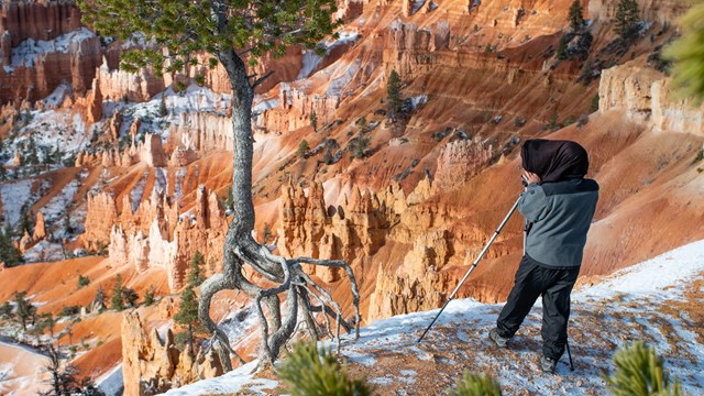
Permits & Reservations
You don't need a reservation to enter the park but information on other permits and reservations can be found here. 
Pets
Wondering where you can take your pet? Start here. 
Current Conditions
Check for alerts and current conditions in the park. 
Frequently Asked Questions
Our most frequently asked visitor questions, answered all in one place. Basics of Visiting Bryce CanyonBryce Canyon has one main 18-mile road that runs north-south through the park. Most visitors will first be looking for views of the Bryce Amphitheater, found along the first 3 miles (4.8 km) of the road. Here one finds the four most popular overlooks in the park: Bryce Point, Inspiration Point, Sunset Point, and Sunrise Point. These viewpoints are also trailheads for some of the parks most popular trails (e.g. both Sunset and Sunrise Points are trailheads for the popular 2.9 mile (4.6 km) Queen's/Navajo Combination Loop). This area is best for those visiting 1 to 3 hours. Longer visits often include a trip down the full length of the main road (known as the Southern Scenic Drive) to Rainbow Point, Natural Bridge, and other viewpoints. Visitors typically travel the full length of the road to Rainbow and Yovimpa Points and then stop at viewpoints on the way back. Site IndexPrefer to navigate using a site index? |
Last updated: April 30, 2024