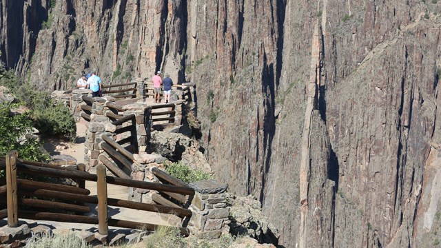
Most visitors arrive by private vehicle. Public transportation is not available within the park. Bus and airplane service are available in Montrose, Gunnison or Grand Junction. The nearest communities are Montrose, CO (to the South Rim) and Crawford, CO (to the North Rim). Black Canyon of the Gunnison National Park is located in southwest Colorado. Nearby distances are measured from the South Rim Visitor Center:
Getting to the South RimThe South Rim is 7 miles north on CO Highway 347 from the intersection with U.S. Highway 50 east of Montrose. The physical/GPS address is - 9800 Hwy 347, Montrose. Getting to the North RimThe North Rim is 11 miles southwest of Crawford. From CO Highway 92, turn west on Black Canyon Road approximately 3 miles south of Crawford. The physical/GPS address is 7295 Black Canyon Road, Crawford. Follow the road signs to the park. The last 7 miles are unpaved. The North Rim is closed to vehicles in the winter. There is no bridge across the canyon. Allow 2 to 3 hours to drive from one rim to the other. The North Rim is closed to vehicles in the winter. Distances (from South Rim)

Current Conditions
Know before you go! Check current conditions, as well as any closures, construction, or alerts. 
Maps
View an interactive park map or download the printable brochure. | ||||||||||||||||||||||||||||||||||||||||||
Last updated: April 24, 2025
