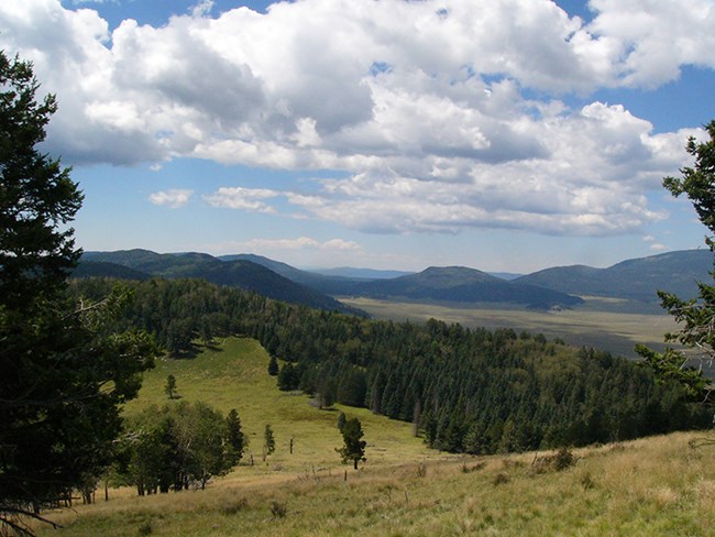
Photo by Sally King The Cerro Grande Route winds its way up to the highest point in the park, Cerro Grande Peak (10,199 ft). The preferred route is marked by yellow diamonds and is 2.3 miles each way (4.6 round trip). There is an elevation gain of approximately 1200 feet from trailhead to summit. This route passes through the mixed conifer forest and is an excellent place to see wildflowers in mid to late summer. The view of the Valles Caldera National Preserve and the lower elevations of Bandelier National Monument from the upper portion of the route is quite spectacular. Remember, as this trail begins at high elevation and ends at even higher elevation, snow and ice may be present longer than at lower elevations. In late summer, thunderstorms can pose a serious threat. Before hiking be sure you are prepared with adequate gear and clothing. Hiking poles are recommended to help with hiking on steep or uneven terrain. There is no water available along this route.

Photo by Sally King 
photo by sally king 
photo by sally king 
photo by sally king |
Last updated: April 28, 2025
