Last updated: June 12, 2020
Article
This Park’s Personality: Interpretive ranger Sonia Taiani brings shoreline dynamics and post-Sandy resilience research at Fire Island National Seashore to life for visitors
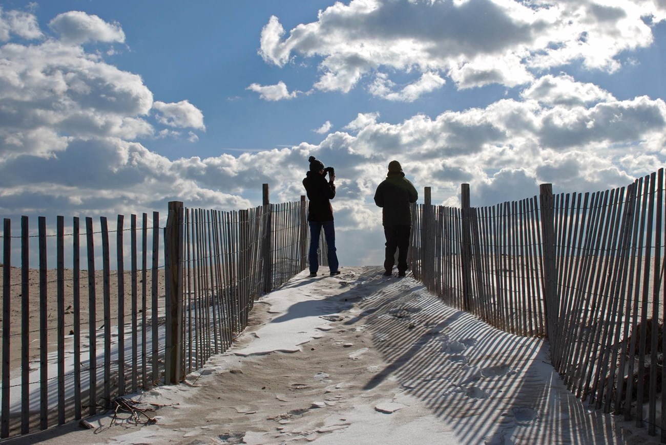
It’s a bright December day, but the wind sends a biting chill along the beach at Fire Island National Seashore, off the south shore of Long Island, New York. Visitors still come, few enough that passersby seem inclined to stop and say hello to one another. Only 60 miles from the center of Manhattan, the tone is different here.
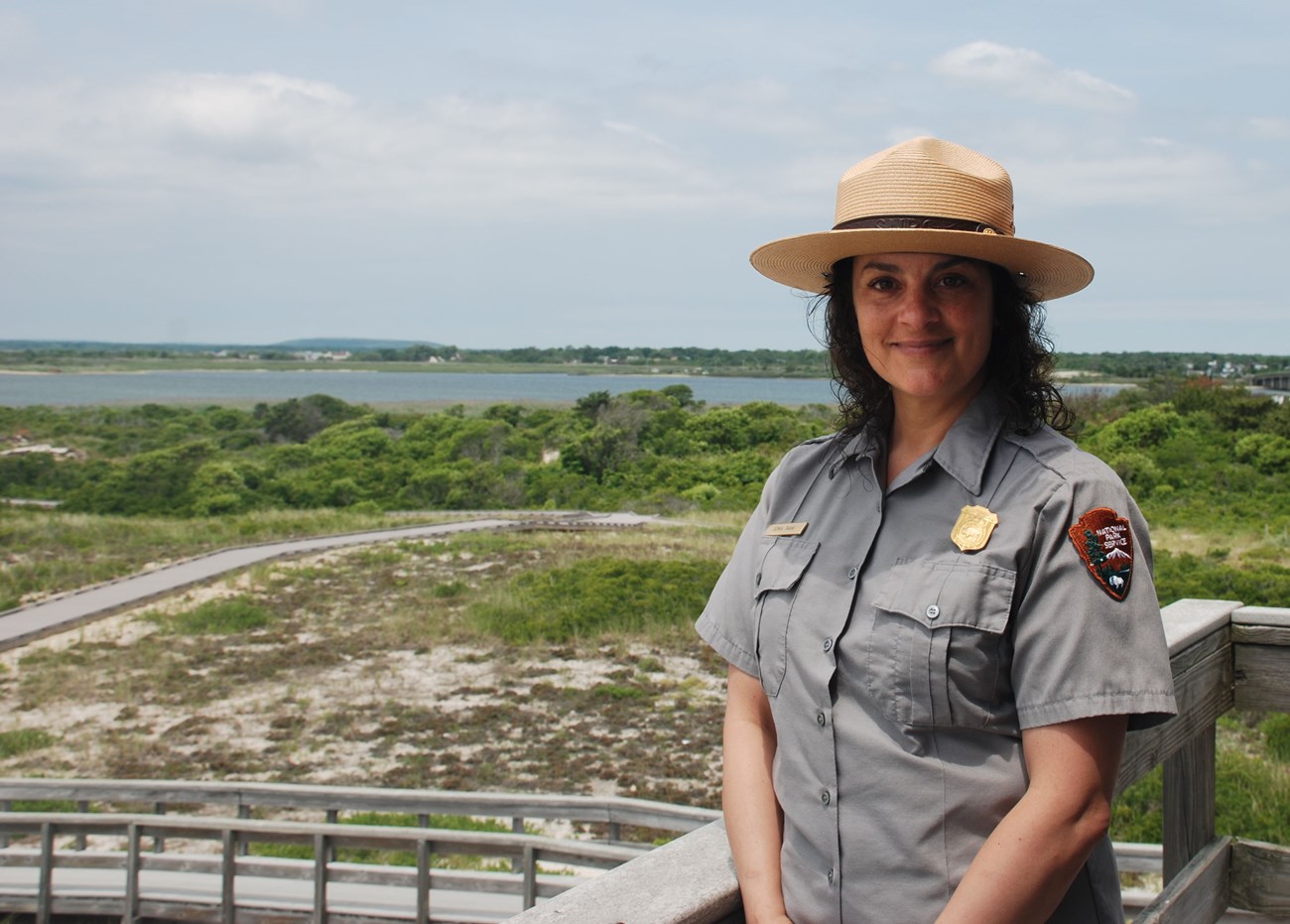
Sonia Taiani, an interpretive ranger for the National Park Service (NPS), who has worked at Fire Island National Seashore (FIIS) since 1993, recognizes some of these wintertime visitors as regulars. They come year-round and stop by the Wilderness Visitor Center just to chat with her before heading out to the beach. Without hesitation, Sonia says this is the most important part of her job: connecting with visitors. As a park ranger, “You kinda give a personality to the park,” she says.

Ries/NPS
When Hurricane Sandy ripped across the U.S. East Coast in October 2012, it triggered a whirlwind of research projects in coastal parks. Knowing that coastal communities could anticipate an increase in sea level rise and damaging coastal storms like Hurricane Sandy, the federal government asked NPS scientists across the northeast coastal region to ramp up research on the resilience of coastal parks, including infrastructure, natural resources, and cultural resources. At the center of this whirlwind are interpretive rangers like Sonia, who are helping to make sense of the research for park visitors and people who live in or near FIIS.
FIIS is not a typical National Park. It has a distinctive sense of community. Within the park’s boundaries, more than 4,000 people make their homes in 17 private communities. Park managers rely on the cooperation of private citizens to care for park resources through collaborative stewardship: an active relationship between the Park Service, the public, and shared natural resources.
To support strong collaboration, NPS relies on interpretive rangers, like Sonia, to share information about scientific research in National Parks and to clarify for the public what this research reveals about the health of the park’s natural resources. “It is the broader public that will decide the fate of these [natural] resources,” as one report of the National Park Advisory Board puts it.
Park managers at FIIS couldn’t agree more. Park superintendent, Chris Soller, says, “[We need to be] working with [local communities] collaboratively in order to protect this place. We can’t do it without them, and they can’t do it without us.”

NPS
Sonia is not a scientist (she holds a bachelor’s degree in business and a master’s in education), but she is intensely curious and gregarious. As an interpretive ranger, she educates visitors—children and adults alike—about the dynamic natural forces that shape Fire Island, explains research going on in the park, and illustrates what that research means for the park itself as well as for surrounding communities. Over the years, she’s developed a distinctive style for translating sophisticated scientific concepts and processes: approachable, playful, and effective.
Sonia rummages through a “traveling trunk” that she takes to local schools for educational presentations, and comes up flourishing a Slinky. “I got that whole Peter Pan syndrome,” she jokes. But the Slinky is actually a perfect tool for demonstrating barrier island dynamics.
Whether she’s talking with local homeowners or with fourth graders, humor is her clutch teaching strategy: “The more I laugh with people, the more they remember.”
From decades of training, tireless reading, and countless phone calls to Park Service scientists to probe them for explanations, Sonia has built a strong understanding of biological, ecological, and geological concepts, particularly of coastal shoreline dynamics.
Some time back, she added the Slinky to her ranger toolkit when she realized that it offered her an elegant way to show how barrier islands, like Fire Island, morph and migrate over time. Sonia stacks the Slinky’s coils and asks park visitors to imagine that it’s a dune.

NPS
“I pretend that a storm comes in,” Sonia says, “and I push my hand across the top and make it resemble an overwash. That flattens out the Slinky. Then I show them that, over a period of time, the Slinky builds up again, or the sand becomes a dune again.”
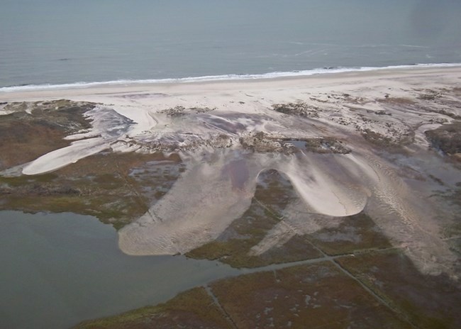
The Slinky, she demonstrates, rolls over itself. Its own rolling action propels the Slinky, keeping it in motion. Likewise, a barrier island set in motion by the force of a storm rolls over itself. During a storm, ocean water can surge high above sea level. It strikes the island’s dunes, washing sand across the island toward the bayside. This is called overwash.
The dunes appear to be leveled, defeated. But in fact, overwash bolsters the interior parts of a barrier island while ocean currents sweep in fresh supplies of sand, allowing the dunes to rebuild naturally over time. Just as the Slinky is set in motion as it rolls up on itself, overwash propels Fire Island very slowly northward.
Barrier islands are complex, ever-changing places with some puzzling qualities. It’s up to rangers like Sonia to make sure that people know and understand the findings of ongoing scientific research about these places. After all, the public has a stake in the health of barrier islands. A thriving barrier island like Fire Island can protect nearby bayside towns and communities, year-round, from the full force of coastal storms.
Dynamic natural changes make studying barrier islands and predicting future changes complicated. But the significant role that barrier islands play in protecting island and bayside natural resources, cultural resources, infrastructure, and towns makes understanding these places urgent.

Lynch/NPS
Hurricane Sandy went a step beyond creating overwash. It slashed through a stretch of beach and dunes to create a breach at Old Inlet, which now splits Fire Island, allowing water to flow between Great South Bay and the Atlantic. The breach makes a strong impression throughout Great South Bay. It changed the clarity of the water in the bay. Sonia remembers before Hurricane Sandy, when the bay appeared to be the color of mud. Now, “If it’s a nice sunny day, it’s green, and it’s clear.” She says that sometimes “it does look Caribbean.”
While Park Service scientists were launching post-Sandy research and hauling survey instruments out into the field, park visitors started lining up to join Sonia and other interpretive staff on guided tours: “Beach to Breach Hikes.” Accessible only by foot, the breach is about a forty-minute hike from the Wilderness Visitor Center.
“Before Sandy,” Sonia says, “people would ask, ‘How far to Old Inlet?’ and you’d say ‘One-point-seven miles,’ and they’d say ‘Forget about it!’ After Sandy, whether there’s rain, sleet, hail, or snow, people are going to walk the 1.7 miles.”
Park visitors, including the people who live, work, and play in the communities on and around Fire Island, have the rare privilege of seeing first-hand a variety of magnificent transformations. They can observe dramatic changes occurring on the island month-to-month, and even day-to-day.
While visitors take the measure of these phenomena as places of beauty, scientists conducting research on Fire Island are taking the measure of coastal resilience. They are gauging whether sand is building up at a healthy rate, so that the island can gradually restore its beaches, dunes, and other ecosystems.
In the meantime, Sonia meets park visitors every week and shows them fun ways to explore Fire Island’s resilience, as it gradually rolls over itself and rebuilds its dunes right before their eyes.
Written by Jamie Remillard & Caroline Gottschalk Druschke (SEAcomm URI)
