Part of a series of articles titled Photogrammetry Applications and Examples.
Article
Geomorphologic Modeling Example—Knickpoint Arroyo
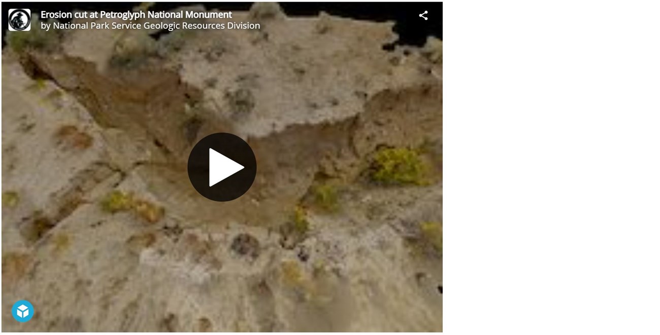
Areas along the park boundary often near residential developments have recently been subjected to heightened episodes of erosion from heavy but infrequent rain events. Deep rills and migrating knickpoints have cut into the soft unconsolidated sediments at the base of the escarpment and threaten archaeological and other cultural resources at the park. Point cloud data obtained through photogrammetry can be used to generated precise textured models. The below 3D model can be used for generating geospatial data sets.
3D Knickpoint Migration Arroyo
Petroglyph National Monument, New Mexico
An oblique aerial soft-sediment erosion cut and knickpoint model.
Last updated: April 30, 2021

