Part of a series of articles titled Coastal Geohazards.
Previous: Coastal Geohazards—Storm Hazards
Article

NPS photo.
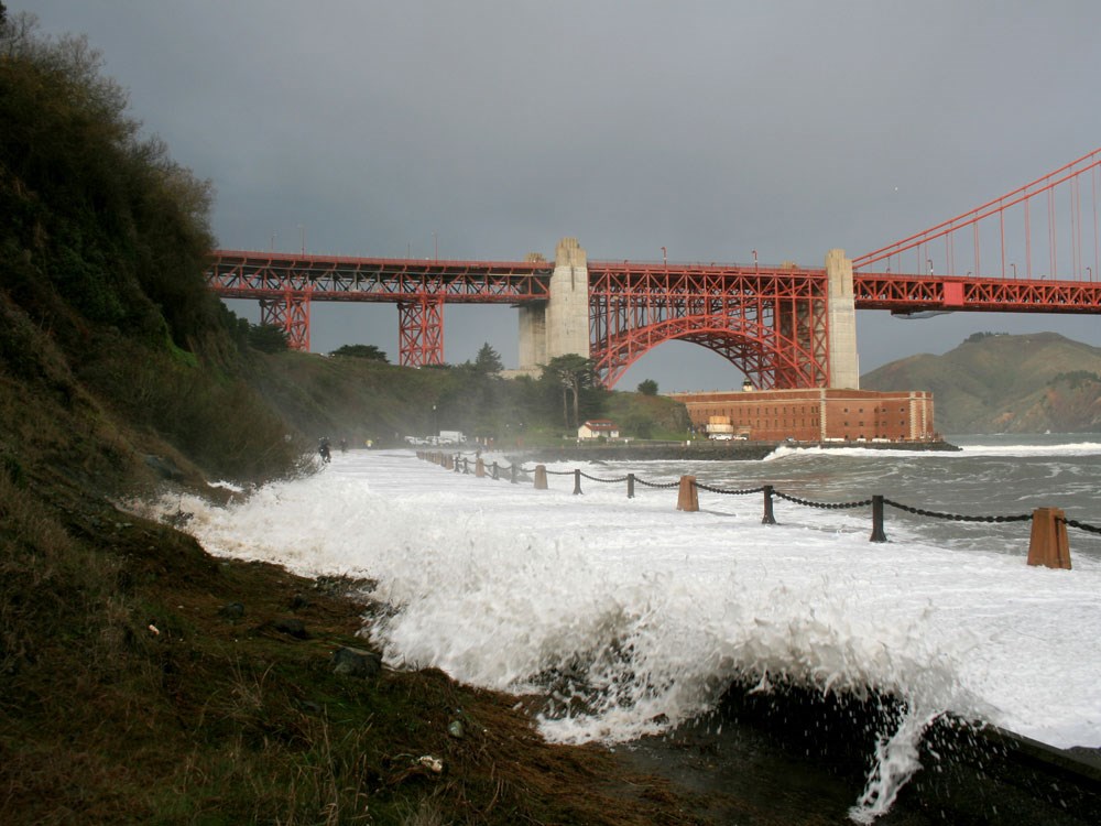
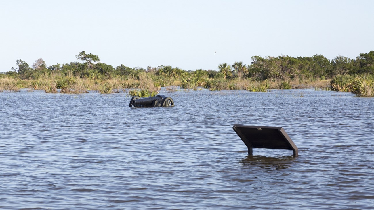
A storm surge may occur during large coastal storms. Storm surge is the water that advances toward the shore by the force of storm generated winds. Most (>85%) of the storm surge is caused by winds pushing the ocean surface ahead of the storm. The sudden rise in water level can cause severe flooding in coastal areas, particularly when the storm surge coincides with periods of high tides. In areas where there is a significant difference between low tide and high tide, storm surges can be particularly damaging when they occur at the time of a high tide (National Hurricane Center 2009).

National Park Foundation photo.
In addition to the storm’s meteorology (e.g., wind speed and size), the level of surge in a particular area is determined by the slope of the continental shelf and the shape of the coast. A shallow slope off the coast will allow a greater surge to inundate coastal areas. Areas with a steeper continental shelf will not have as much surge inundation, although large breaking waves can still present major problems (National Hurricane Center 2009).
Hurricane Katrina 2005
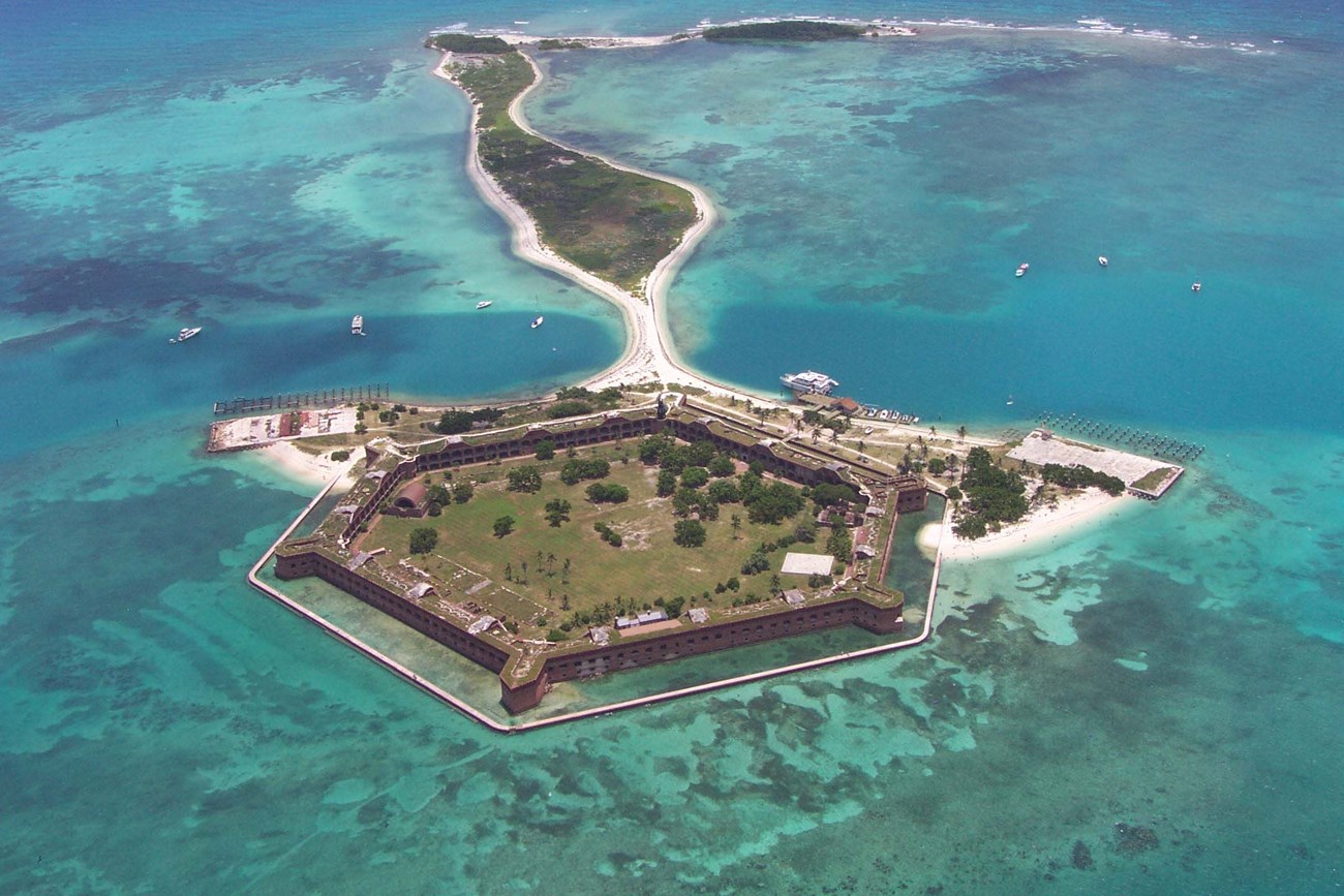
Storm surge is a hazard at many coastal National Parks. During Hurricane Katrina in 2005, storm surge along the Mississippi coast reached 30 feet (9.1 m) in height. Gulf Islands National Seashore experienced high levels of coastal erosion around Fort Massachusetts on West Ship Island, a significant historical structure and park resource. Since then, mitigation efforts to guide restoration of the barrier islands and renourish the beaches surrounding the fort may reduce future storm surge and hurricane damage.

Fort Matanzas National Monument, Georgia [Geodiversity Atlas] [Park Home]
Golden Gate National Recreation Area, California [Geodiversity Atlas] [Park Home]
Gulf Islands National Seashore, Florida and Mississippi [Geodiversity Atlas] [Park Home]
Part of a series of articles titled Coastal Geohazards.
Previous: Coastal Geohazards—Storm Hazards
Last updated: December 2, 2022