Last updated: December 5, 2019
Article
Cape Cod National Seashore

Cape Cod National Seashore was a different kind of national park from the start. When Congress set aside 44,000 acres in 1961, it was the first time a national park was carved out of such a populated area. An experiment in cooperative stewardship, it was an attempt to conserve a treasured resource in partnership with six towns and some 600 private landowners within its boundaries. The authorizing legislation set a precedent by establishing the first citizens’ advisory commission and authorizing funding for considerable private land acquisition.
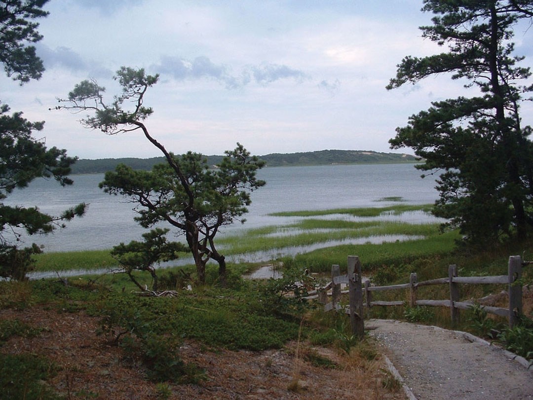
The national seashore occupies much of outer Cape Cod, a large peninsula extending 60 miles into the Atlantic from the coast of Massachusetts. The federal government owns about 27,000 acres in fee. A collaborative approach to stewardship is essential to protect the resources and values that define this place.
The Herring River Tidal Restoration Project is an example of putting a collaborative, landscape-scale management philosophy into practice. Historically, the Herring River estuary included 1,100 acres of salt marsh, intertidal flats, and open-water habitat—one of the largest and most productive salt marsh estuaries on Cape Cod. In 1909, in an effort to control mosquitoes, the town of Wellfleet constructed a dike at the mouth of the river. Ditches subsequently dug over several decades to drain the marsh further compromised natural processes, enabled private development in the former flood plain, and led to deteriorating water quality and habitat loss. In 2003, Herring River was listed as “impaired” under the federal Clean Water Act.
Based on ecosystem science and adaptive management techniques, seashore partners are collaborating to restore the estuary. The Herring River Restoration Committee, a group appointed by Cape Cod National Seashore and the towns of Wellfleet and Truro comprised of several state and federal agencies, is developing a comprehensive plan to reintroduce unrestricted tidal flow and restore the estuary as a self-sustaining ecosystem. Restoration will reclaim hundreds of acres of wetlands and reintroduce habitats for aquatic species, marsh birds, and mammals, as well as new opportunities for recreation and shellfish harvest both within the estuary and in nearby coastal waters. The plan includes a gradual, incremental approach to tidal restoration, mitigation of potential impacts to existing infrastructure such as raising low-lying roads, and monitoring to track ecosystem response.
Educating the public on the ecological and economic values of a healthy estuary and engaging them in the process are essential. A restoration project of this scale depends on commitment and support from local communities and beyond.
Migration Mission
Cape Cod National Seashore is on the Atlantic Flyway, the primary migration route for millions of birds traveling between breeding grounds as far north as the Arctic and wintering grounds as far south as the Antarctic. More than 40 species rest and feed on the beaches, including federally endangered roseate terns. Scientists have determined that 75–80 percent of breeding northeastern U.S. and Canadian roseate terns and their young spend critical staging time at Cape Cod to prepare for migrations of up to 4,500 miles. Peak visitation at Cape Cod coincides with the arrival of staging and migrating shorebirds. Researchers are working to determine if human disturbances during this time in the terns’ life cycle could explain a recent population decline.
Cape Cod is one of many protected and managed landscapes in Canada and the U.S. that support migratory bird species at various points in their life cycles. Understanding the effects of disturbance on staging roseate terns will affect management actions at Cape Cod National Seashore, as well as advance other national and international efforts in conserving this species.
