Last updated: November 16, 2023
Article
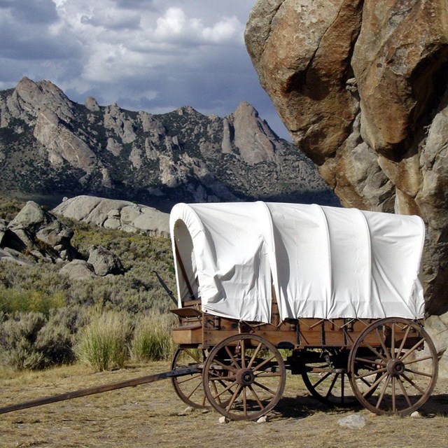
The Lander Road, California National Historic Trail

NPS Photo/ Frank Norris
The Lander Road, also known as the Lander Trail or Lander Cutoff, was the first US government-sponsored road for emigrants heading to Oregon and California. The Lander Road gave travelers on the Oregon Trail and the California Trail a straight path through the mountain ranges in southwestern Wyoming and southeastern Idaho. Prior to its completion in 1858, trail travelers were forced to go around the southern end of these rugged mountains. By eliminating this detour, the Lander Road shortened the route by 60 miles! Additionally, the Lander Road avoided the dry, summer desert conditions found along the detour, providing emigrants with more food and water for both their livestock and themselves.
The Lander Road project started in 1857 when Frederick W. Lander was sent west from Washington, D.C. His assigned task was to survey several routes between Wyoming and Idaho for the purpose of reducing the length of the combined Oregon and California Trails. Lander selected the most suitable route and began its construction in 1858. This new segment was officially called the "Fort Kearney, South Pass, and Honey Lake Wagon Road." It departed from the main branch of the combined trails at South Pass Station (which is now known as Burnt Ranch), Wyoming and then rejoined the main branch 265 miles later near Fort Hall, Idaho.
Lander used a work crew of more than 100 people to build the road. In total, the workers moved over 80,000 tons of rock and soil, removed miles of timber and willows, and built several bridges. They also leveled the road the best they could for emigrants and their wagons. By using several existing Native American trails to reduce the workload, Lander and his work crew completed most of the work in 1858. The project was completed the following year, 1859, with improvements made to the route between South Pass, Wyoming and City of Rocks, Idaho. Emigrant wagon trains actually began using the road before it was finished and continued to do so throughout the 1860s. In the 1870s and beyond, large herds of cattle, horses, and sheep traveled over the Lander Road in both directions.
Today, the Lander Road is an official part of the California National Historic Trail. Parts of it still exist in local roads and state highways. Remnants of the actual road, in the form of trail ruts and swales, are visible in several locations. The area continues to be very rural and remote; before heading out on a Lander Road adventure, visit Wyoming History for detailed route and travel information.