Part of a series of articles titled Lewis and Clark Trail 2022 Annual Report.
Article
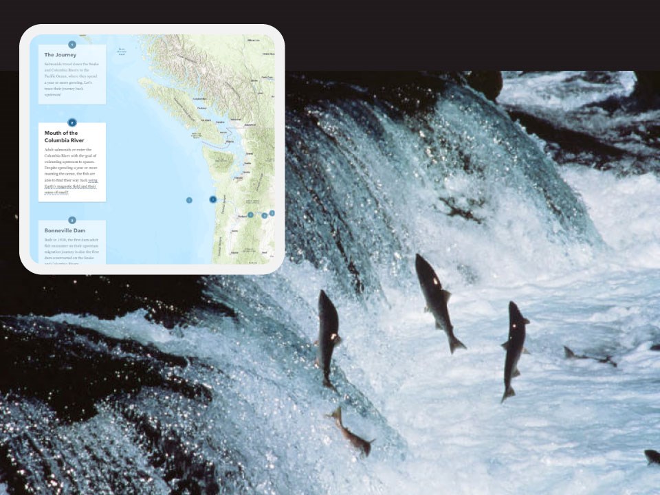
Story Map highlights salmon in the Snake River

Story Map: NPS. Salmon photo: Marvina Munch for the U.S. Fish and Wildlife Service

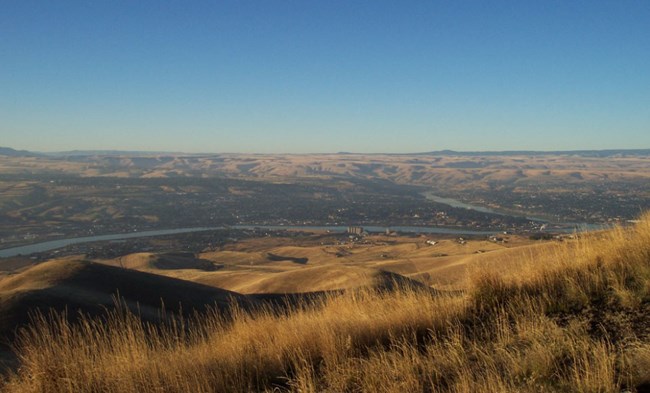
Photo: NPS
Article by: Ryan Cooper. Geographer, Lewis and Clark National Historic Trail
This year, the Lewis and Clark National Historic Trail released a new story map highlighting significant issues impacting an important species along the trail. As part of the Virtual Student Federal Service (VSFS) program, Carolyn Subramaniam developed a story map entitled Dams and Salmon: Struggling to Survive in the Snake River. This story map is a web resource that integrates interactive maps, text, and other multimedia to share information on how four federal dams impact salmon in the Lower Snake River of the Pacific Northwest.
Last updated: January 4, 2023
