Last updated: February 10, 2022
Article
Minidoka National Historic Site Cultural Landscape

NPS
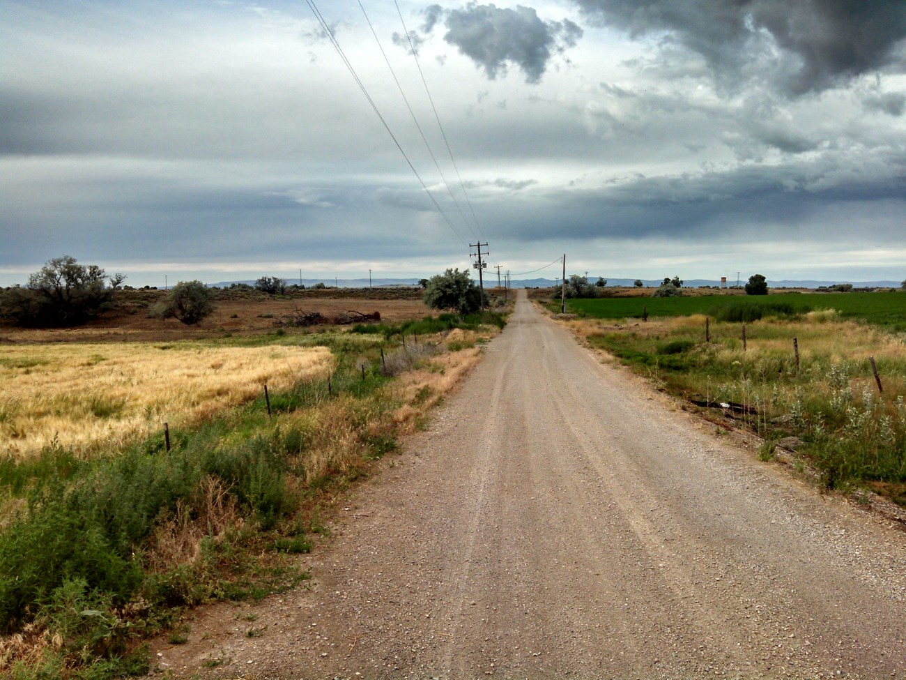
"When we first arrived here we almost cried, and thought that this is the land God had forgotten. The vast expanse of nothing but sagebrush and dust, a landscape so alien to our eyes, and a desolate, woebegone feeling of being so far removed from home."
Incarceree at Minidoka Relocation Center, 1942
History
On February 19, 1942, Executive Order 9066 was signed by President Franklin Roosevelt, authorizing the War Department to "prescribe such military areas in such places and of such extent … from which any or all persons may be
excluded." General John L. Dewitt of the Western Defense Command began the implementation of Executive Order 9066, with the creation of military area No. 1 that encompassed the western half of Oregon, Washington, California, and the southern half of Arizona, and military area No. 2 that included the remainder of the entire state of California.
The first exclusion order, Civilian Exclusion Order 1, was issued for Bainbridge Island in Washington State, giving fifty-four Nikkei families only six days to prepare for their departure. Nikkei refers to Japanese emigrants from Japan and their descendants. The Bainbridge Islanders departure, on March 30, 1942, alarmed Nikkei communities along the West Coast and substantiated the rumor that they would be removed soon.
In preparation for their forced departure and facing an uncertain future, many Nikkei closed up businesses, consolidated their homes, and secured their possessions. Merchandise and possessions were sold in haste. As a result, Nikkei experienced significant economic losses in the process. When they were moved to temporary assembly centers, they were allowed to bring only what they could carry, without knowing where they were going or for how long.

NPS
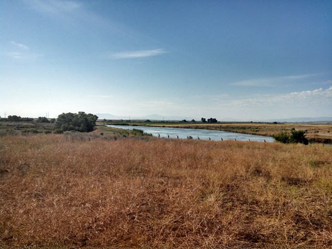
Minidoka appears to be one of the earliest sites selected by the War Relocation Authority (WRA). The site at Minidoka fulfilled all the WRA site selection criteria. It was on a remote tract of public land. The railway line was located just three miles to the south, and electricity was accessible six miles to the south by the Idaho Power Company. Water from the Milner-Gooding Canal could be used for irrigation once smaller canals were constructed and lands cleared.
The camp had been under construction for two months when on August 10, 1942, 212 Nikkei from Puyallup Assembly Center arrived at the railroad spur just south of Minidoka. Beginning on August 16, incarcerees arrived at a rate of 500 per day from Puyallup, Washington and then from Portland, Oregon. By September 14, 1942, the transport and relocation was complete, and the Nikkei residents at Minidoka numbered 8,381.
Between September 1942 and October 1945, the Minidoka WRA Center was in custody of 13,078 people, and 12,758 were admitted to the Center (Final Accountability Roster of the Minidoka Relocation Center, 1945). The peak population was 9,500 persons in 1942. There were 489 births and 193 deaths at Minidoka, which constituted the 7th largest city in Idaho while it was operational between 1942 and 1945.
Landscape Description
This region is bounded by the Camas Prairie to the west, the Snake River to the south and east, and Craters of the Moon National Monument and the Lost River, Lemhi, and Bitterroot ranges to the north. It is defined by a rolling plain of high desert sagebrush steppe punctuated by basalt outcroppings.
Minidoka National Historic Site is nationally significant under National Register of Historic Places Criterion A, for its association with the mass incarceration of Nikkei during World War II. The period of significance is 1942-1945, beginning with the siting and construction of the camp, and ending with its closure in 1945. As a historic site, Minidoka was representative of the large scale camps where West Coast persons of Japanese ancestry, including American citizens, were incarcerated during World War II.
During its operation, the Minidoka Relocation Center encompassed 34,063 acres and was divided into distinct functional areas. The central area of camp, totaling 946 acres, housed incarcerated individuals in approximately 600 barrack buildings. This area included built and open space for work and recreational activities and accommodated the War Relocation Authority in administrative, operational, and staff housing areas.

NPS

NPS
The central area of the camp was laid out in a crescent shape on the buildable land between the North Side Canal and basalt outcroppings to the north and east. Over the three year period of operation, incarcerees improved the site conditions in the camp with ball fields, victory gardens, and residential gardens. This central area was defined by eight watchtowers along its perimeter and, for nearly six months, a five strand barbed wire fence encircled the area.
Other areas within the 34,000 acre center included extensive agricultural farm plots and animal husbandry farms that were developed and maintained by incarcerees. The remaining area of the camp was undeveloped high desert sagebrush steppe.
Following the closure of the camp in 1945, most of the camp’s buildings and the vast majority of the 34,000 acre camp were divided into parcels. Some parcels were given away to World War II veterans for homesteading through land lotteries in 1947 and 1949. Roughly 85 acres was retained by the Bureau of Reclamation to continue land reclamation projects in the surrounding area. Of this, 72.22 acres were proclaimed a National Monument and were transferred to the National Park Service in 2001.

NPS
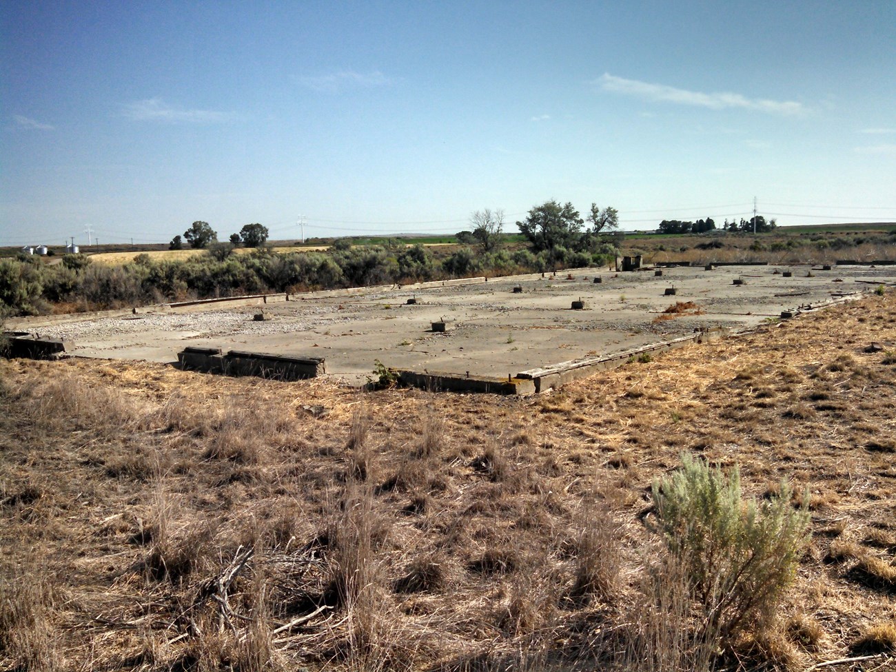
Built as a temporary installation, nearly all the dominant landscape features were removed after its closing. A scattering of buildings, foundations, remnant roads and walkways, trees, garden traces, and numerous remnant artifacts dating from World War II remain from the incarceration camp era. The landscape characteristics that contribute to the historic site's significance include its natural systems, spatial organization, cluster arrangement, archeological resources, cultural traditions, circulation, buildings and structures, and vegetation.
Quick Facts
-
Cultural Landscape Type: Historic Site
-
National Register Significance Level: National
-
National Register Significance Criteria: A
-
Period of Significance: 1942 - 1945
