Last updated: June 1, 2021
Article
National Park Getaway: El Malpais National Monument
By Jamie Kern, Park Ranger – Interpretation

NPS / John Kuehnert
Imagine a time long before interstate highways and automobiles. You’ve been riding your horse for days across a high desert landscape of flat-topped mesas and rabbitbrush. It’s hot, dry, and dusty, but the terrain thus far has been easy to navigate, except for a few prairie dog holes your horse has tripped in. Suddenly, you spot a black line on the horizon. At first you think it’s a mirage, but as you ride near, you realize it’s something very real—a black, jumbled mass of jagged volcanic rock stretching as far as the eye can see. Your horse isn’t getting across that.
Such was the experience of early Spanish explorers traveling through northwestern New Mexico. They named this rugged, volcanic region El Malpais (el mal-pie-ees), Spanish for “the bad country,” and detoured around the vast lava flows.

NPS / Nick Guarino
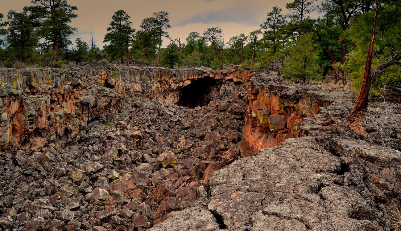
Today, these lava flows are part of El Malpais National Monument. The monument is a primeval volcanic landscape sculpted by a series of eruptions over the past 60,000 years and as recently as 1,200 years ago. These eruptions created a fantastic geologic wonderland of cinder cone volcanoes, lava tube caves, and some of the longest and youngest basaltic lava flows on the continent.
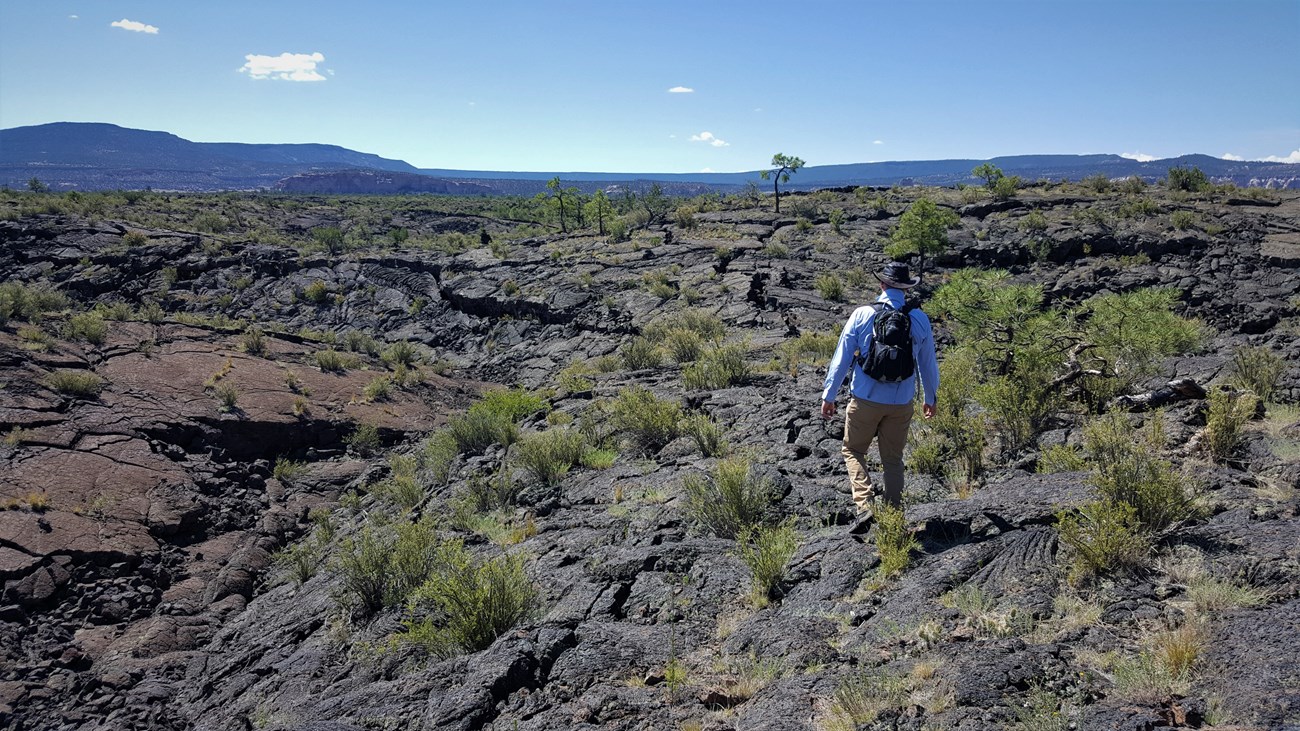
You can explore these geologic features yourself on trails and scenic drives throughout El Malpais. Along the east side of the park, the Sandstone Bluffs Overlook offers spectacular views down at the dark, undulating lava flows. Farther down the road, traverse the lava at the one-mile Lava Falls Trail for an up-close look at this otherworldly moonscape.

NPS / John Kuehnert
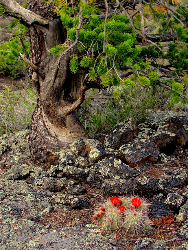
On the opposite side of the park, hike through ponderosa, piñon, and juniper forests up to the top of a 60,000-year-old cinder cone volcano at El Calderon. If you’re feeling especially adventurous and have a high clearance, four-wheel drive vehicle, drive the Chain of Craters Backcountry Byway out to Big Tubes and hike a jagged, cairn-marked trail out to several lava tube caves. You can explore these caves with proper caving equipment and a caving permit, which you can pick up at the El Malpais Visitor Center. Be sure to call ahead if you plan to cave, as caves may be closed for resource protection.
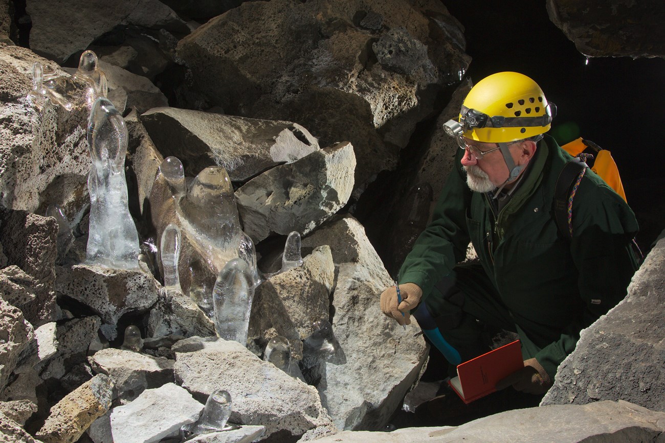
El Malpais is not just a barren field of lava. What the Spanish found foreboding, the ancestors of today’s Puebloans and Navajo found full of life. They ventured deep into the lava fields for water, often in the form of ice, stored year-round in lava tube caves and to hunt animals such as bighorn sheep, which once thrived here. You can follow in the footsteps of the Ancestral Puebloans along the 7 ½-mile one-way Zuni-Acoma Trail—an ancient footpath connecting the modern Zuni and Acoma Pueblos bordering El Malpais.

© Kenneth Ingham
For a chance to see wildlife, head out to Bat Cave along the El Calderon Trail on a warm summer evening just before sunset. Although Batman will not be there, up to tens of thousands of Mexican free-tailed bats likely will. The bats roost in Bat Cave during the day and fly out each evening to hunt for insects. You can see a bat outflight on your own or as part of a ranger program when offered.
Whatever adventure you choose, be sure to be prepared and stay safe in this unforgiving landscape. A wild land of frozen fire awaits your discovery at El Malpais!
