|
Yosemite National Park covers nearly 1,200 square miles of mountainous terrain in the Sierra Nevada of California. Yosemite is open all year, though some areas of the park are inaccessible by car from approximately November through May due to snow. Learn more about making a reservation for camping or lodging if you plan to spend the night. 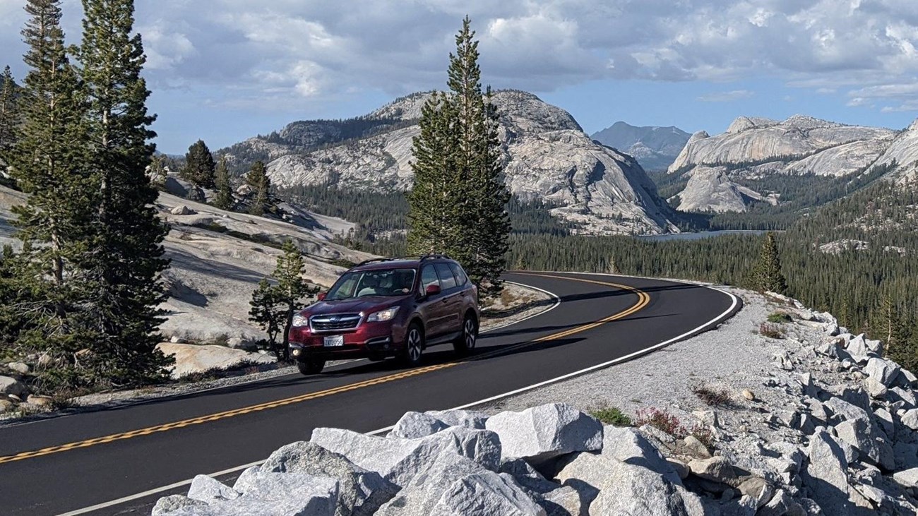
Driving Directions
Yosemite covers 1,200 square miles and does not have a single address. We don't recommend using GPS for directions in and around the park. 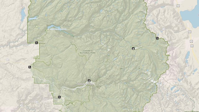
Maps
Know where you're going! View and download a variety of Yosemite maps. 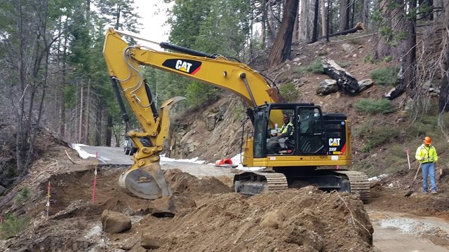
Road Work
Before you hit the road, check for current information about road work in Yosemite. 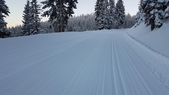
Winter Road Closures
Tioga Road, Glacier Point Road, and Mariposa Grove Road close for winter each year. Find directions for when Tioga Road is closed. 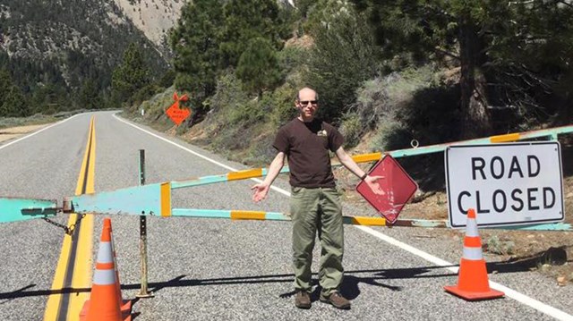
Directions for when Tioga Road is Closed
When the Tioga Road is closed, alternate routes are available to get to various destinations. 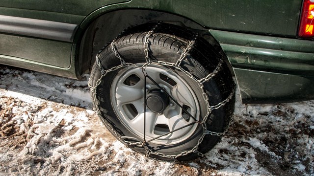
Tire Chain Information and Requirements
Come prepared! When snowy or icy conditions exist on park roads, chains can be required. 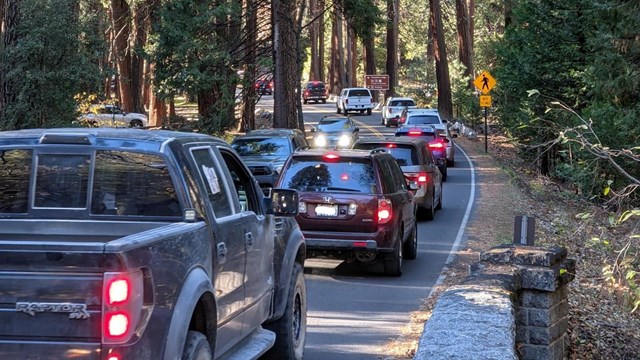
Traffic in Yosemite
Yosemite is a busy place! You may find yourself stuck in traffic, waiting at the entrance, or unable to find parking. Plan accordingly. 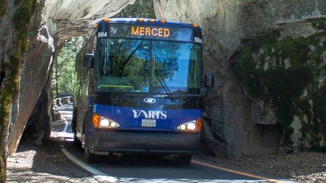
Public Transportation
Bus service is available to Yosemite Valley from many cities in CA and beyond. Shuttle buses also operate within the park. 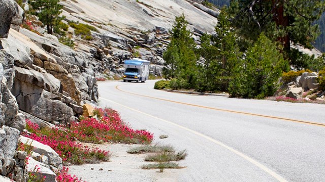
Tips for Visiting with an RV or Trailer
Visiting Yosemite with an RV or a trailer? Learn more about getting around, parking, and other safety tips. 
Vehicle Restrictions
Visitors with RVs, trailers, and other large vehicles should check to see if there are any restrictions on park roads you plan to use. 
Nearby Airports
There are multiple airports within driving distance to Yosemite. |
Last updated: November 13, 2024